WORDS:
LISA DREWE
PHOTOS:
LISA DREWE

Bio
Lisa is an award-winning outdoor writer, paddler and guidebook author, best known for her Paddleboarding book series published by Wild Things Publishing. She has explored hundreds of routes across Britain by paddleboard and kayak and writes regularly for outdoor and paddlesports publications.
https://www.islandeering.com
Read Lisa’s prior post on ten of the best paddling routes in London and thr South East at:https://paddlerezine.com/10-best-paddling-routes-in-the-se/
Five early summer paddles
Early summer is the perfect season to explore rivers, canals, and coastal waterways, as landscapes burst into colour and wildlife flourishes along the banks. Glide along the tranquil Crinan Canal past raised bogs and woodland, or take a tide-assisted journey to the sandy coves and dramatic cliffs of Rhoscolyn on Holy Island.
Meander through the pastoral Stour Valley with its historic mills and riverside pubs, or explore peaceful Thames backwaters lined with spring flowers and manicured gardens. For a classic Cornish adventure, paddle from Truro to Falmouth, passing historic harbours, oyster beds, and scenic creeks that reveal the full charm of the Fal estuary.
Let’s explore these memorable early summer journeys, starting with the tranquil waters of Scotland’s Crinan Canal.
1. Crinan Canal
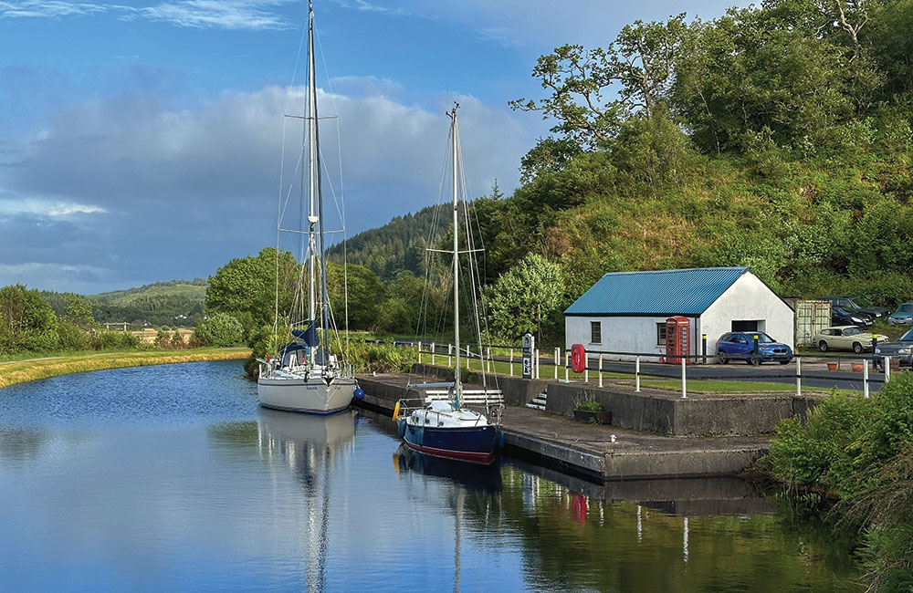
Leaving Crinan Basin, this classic west coast paddle follows the tranquil line of the Crinan Canal south toward Loch Fyne. Often called ‘Britain’s most beautiful shortcut’, the canal offers sheltered water, rich wildlife, and a gentle journey through the heart of Argyll.
Setting off, you glide past Bellanoch Marina and under Bellanoch Bridge, with the wild expanse of Mòine Mhòr Nature Reserve stretching along the northern bank. This raised bog is alive with birdlife, including hen harriers, curlews, and dragonflies in summer, making it a perfect early stop.
At Dunardry, the first portage (about 750m) bypasses a flight of locks, followed by a similar carry near Cairnbaan. These short walks provide a break and let you take in the canal’s engineering and woodland scenery. Well-placed pontoons and towpaths make portages easy.
Back on the water, the canal meanders toward Lochgilphead and Oakfield Bridge before the final portage at Ardrishaig. At Loch Fyne, paddlers are rewarded with expansive sea views – a fitting end to a route blending sheltered paddling, history, and natural beauty.
Access restrictions: No licence required, but please register your trip at www.scottishcanals.co.uk/visit/things-to-do/paddling/just-paddle-crinan-canal.
Launching: Crinan Basin east of Lock 14, Lochgilphead, PA31 8SW. Grid ref. NR 7895 9435; Lat/long 56.09070, -5.55493.
Parking: Crinan Canal Car Park (charges), Pier Square, Lochgilphead, PA31 8SW; launch point 100 metres from the car park.
Getting there: from Lochgilphead, follow the signs to A816/Oban. After two miles, take the left turn to Crinan, through Cairnbaan on B841 and continue to Crinan Basin.
OS Map: OS Explorer 358 – Lochgilphead and Knapdale North.
Pitstops: The Crinan Hotel also runs the Crinan Coffee Shop and Crinan Seafood Bar in Ardrishaig. Lucy’s at The Steamer Terminal offers fresh, locally sourced dishes and friendly service in a bright harbour setting, while The Rumblin Tum is a cosy, well-loved café known for excellent breakfasts and homemade food.
Special points: Large boats use the canal; always keep right and give way to larger vessels.
FULL Route map: https://www.islandeering.com/paddleboarding-crinan-canal/

2. Inland Sea to Rhoscolyn, Holy Island, Anglesey (14 km return; tide-assisted)
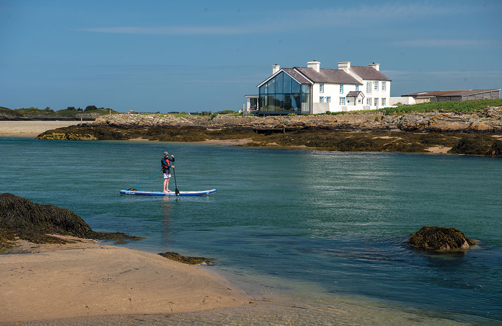
Glide south along the tidal Cymyran Strait, bordered by salt marshes, toward the striking rocky shores of Cymyran Bay and the sweeping sands of Borth Wen, Rhoscolyn.
Head south from Four Mile Bridge past salt marshes until the water widens significantly (or on lower tides, vast sandbanks are exposed on both coastlines). Keeping to the deeper water channels, pass the islet of Ynys Ias, and the runways of RAF Valley on the left. The flow then quickens as the strait narrows towards the entrance to Cymyran Bay.
Enter Cymyran Bay, head right past a couple of small pebble coves, to reach the full sweep of sandy Traeth Llydan. Continue along the base of the cliffs on this spectacular stretch of coastline to discover a wealth of colourful and wildlife-rich gullies and channels before turning into the sheltered cove to reach the crescent-shaped sands of Borth Wen, its characterful cottages, and old lifeboat station. A one-way trip requires a car at either end, or walk with your kit to Rhoscolyn village and take the bus back to Four Mile Bridge via Holyhead. Alternatively, return on the flood tide.
Licence: No restrictions.
Starting point: Four Mile Bridge, Anglesey, LL65 2PX. Grid ref. SH 280 784. What3Words: clapper.aunts.relate; Lat/long 53.274, -4.579. Launching Beach at Ynys Môn at the end of Four Mile Bridge on its south side.
Getting there: A5 (Holyhead) to Valley, then first L on B4545 and continue past the station and over the A55 to Four Mile Bridge. Limited roadside parking along B4545 on the Holy Island end of Four Mile Bridge, or at nearby Pen y Bont campsite (charges), www.penybontfarm.co.uk, tel. 01407 740481.
OS map: OS Explorer 242 Anglesey West.
Special points: Flow in the Cymyran Strait is strongest at mid-tide, when water concentrates in the main channel; it is also when the water is the choppiest as it enters Cymyran Bay. Ideally, leave Four Mile Bridge between one hour before and up to two hours after high water. The coastline to Borth Wen can be paddled on all states of the tide, but arriving at low water will mean a long walk up the beach.
For the tide-assisted return journey from Borth Wen, leave 1-2 hours after low water; and the best time to head north through the Cymyran Straits is 2.5+hrs after LW. Wind can funnel up and down the strait; always check wind speeds and direction before you leave. In a south wind start at Borth Wen and head to Four Mile Bridge 1-2 hours after low water to benefit from the wind assistance (and flood tide).
FULL Route map: https://www.islandeering.com/paddleboarding-inland-sea-to-rhoscolyn/

3. River Stour Sudbury to Bures (11km one way; car/rail return)
Peaceful trip along the Essex-Suffolk border, taking in the beauty of the Stour Valley with a classic pub stop along the way. Launch from Sudbury and turn left, downstream, past the traditional rural landscape of Dedham Vale with its open meadows and ancient grazing lands.
After a long right-hand bend, keep left to Great Cornard Lock and portage. Continue past Mill Tye, a brick-built mill reflecting the area’s industrial heritage. After 3.5 km, reach The Henny Swan, a popular riverside pub and gardens. Portage left of the weir and relaunch at the designated spot.
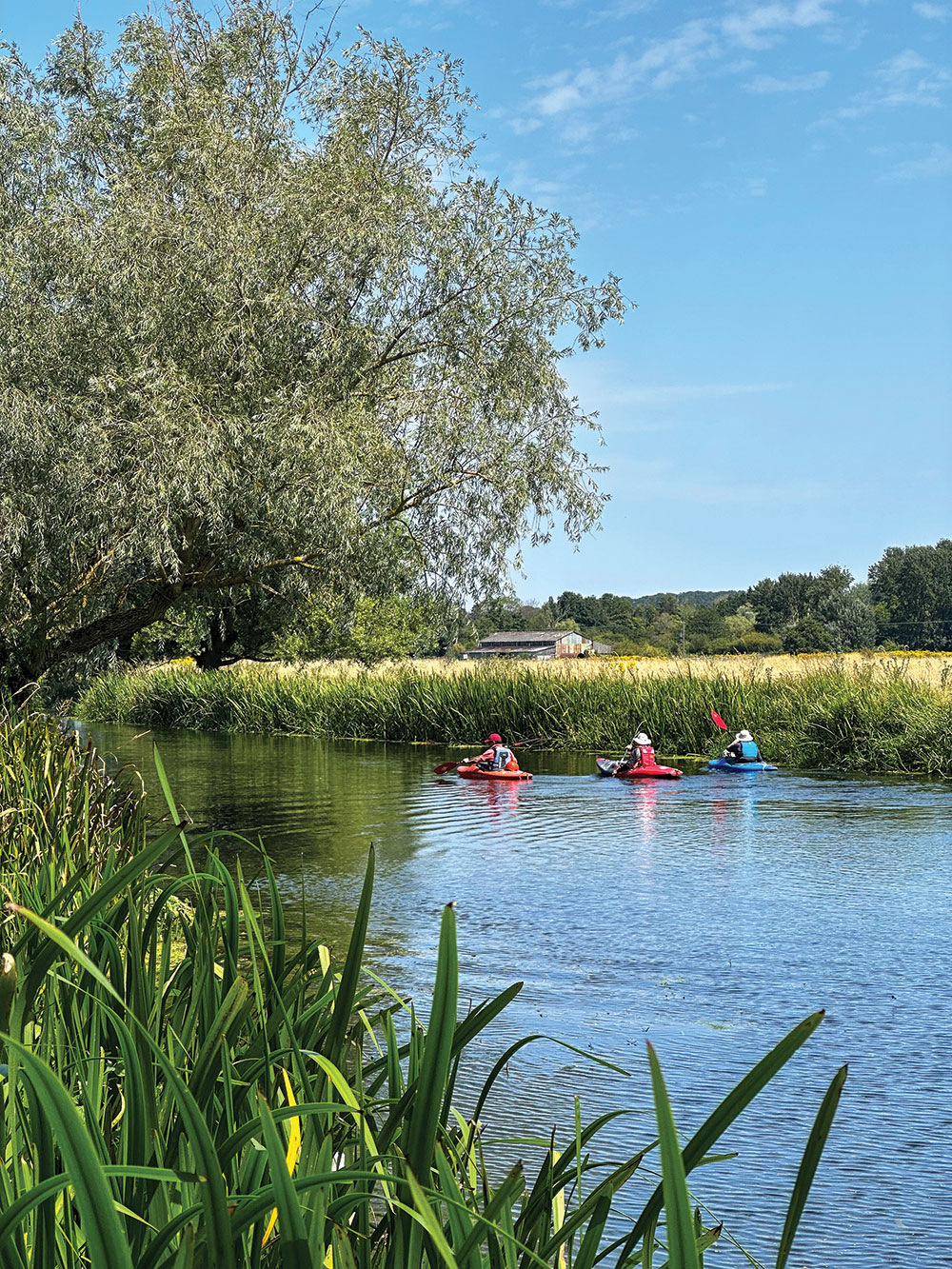
Beyond the pub, the river winds through lush green meadows and pastures with cattle grazing the banks and willow trees arching over the river, forming a shaded green tunnel. Portage at Pitmire Weir, then continue through fields, valley sides, meadows, and ancient woodland. Portage at Lamarsh Weir, then pass under the B1508 approaching Bures with its medieval church on the left. Exit in the park or continue to Wharf Lane for the car shuttle or rail return.
Access: Licence required, included in Paddle UK membership.
OS map: OS Explorer 196 Sudbury, Hadleigh & Dedham Vale.
Starting point: Sudbury Riverside at the end of Quay Road parking, grid ref. TL 872 407; What3Words birthdays.impulses.obliging; Bures Riverside in front of the Community Centre parking or, if arriving by train, the riverbank adjacent to the green space off Bridge Street south of the B1508 bridge, grid ref. TL 906 339. What3Words: erupt.newer.indirect.
Parking: Sudbury End of Quay Lane, Sudbury, CO10 2AN. Grid ref. TL 871 407. What3Words dairy.wealth.passports; Bures Bures Community Centre (free), Nayland Road, Bures, CO8 5BX. Grid ref. TL 908 339. What3Words: types.prancing.flotation.
Launching: Sudbury Footpath at the south end of Quay Road, turn left, walk over the bridge, then turn right under the trees to follow the east bank of the small tributary and the pontoon; Bures short walk across the sports field from the community centre parking to the river.
Pitstops: Pub grub and local ales, Eight Bells, Bures, tel. 01787 227354; very popular gastropub on riverside, The Henny Swan, Henny Street, tel. 01787 267953.
Hire and tours: The Paddle Company, The Henny Swan, tel. 07508 420104. By car: Once in Sudbury, follow brown theatre mask signs to Quay Lane parking next to the Quay Theatre.
By rail: Bures and Sudbury both have stations close to the river, with regular trains from London Liverpool Street (www.greateranglia.co.uk).
Special points: One lock and three weirs to portage on this trip. Check local river conditions before the trip at Sudbury riverlevels.uk/flood-warning-river-stour-from-sudbury. Summer weed growth can choke quieter parts of the river.
Full route map: https://www.islandeering.com/paddleboarding-river-stour-sudbury-to-bures/
4. River Thames Backwaters (11km return)
Explore a tributary on a scenic pub paddle from Sonning to Wargrave via St Patrick’s Stream and the River Loddon.
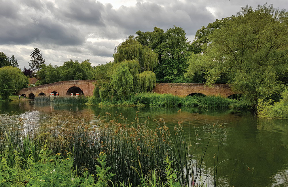
Launch, head left under the B478 bridge, and continue past The Coppa Club Sonning. The river soon opens into meadows. After 2 km, at a right bend, turn right into St Patrick’s Stream.
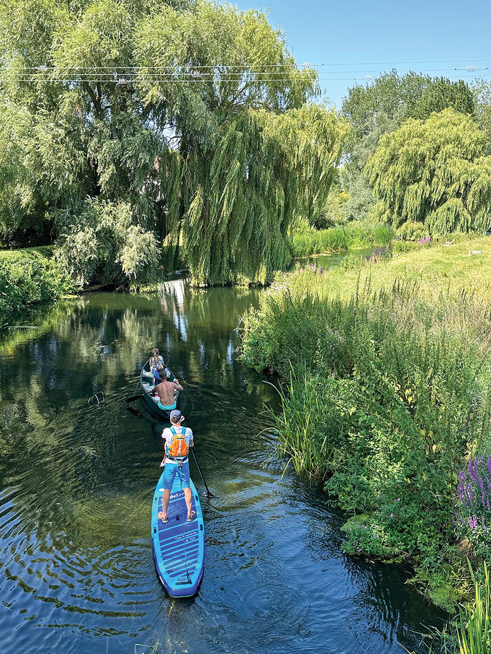
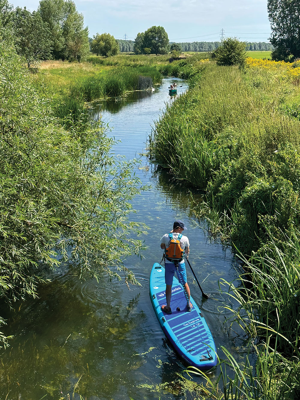
This winding channel meanders quietly through trees rich in birdlife. After 1.5 km, pass under another low bridge and take the right fork beyond, near a large farm, to join the River Loddon. Here, water lilies bloom in summer, and gardens line the banks. Rejoin the Thames, turn right, and continue to the gardens of the St George & Dragon.
To return, paddle upstream along the Thames, portage at Shiplake Lock, and pass Phillimore Island and Hallsmead Ait. The river widens at Sonning Eyots, ideal for a final stretch before finishing at Sonning.
Access restrictions: Licence required, included in Paddle UK membership.
OS map: OS Explorer 159 Reading, Wokingham & Pangbourne.
Starting point: Riverside next to the car park.
Grid ref. SU 753 758. What3Words: groom.throw.broad.
Parking: Car park opposite French Horn pub (free, but avoid adjacent hotel car park), Playhatch Road (B478), Sonning Eye, RG4 6TN. Grid ref. SU 753 759. What3Words: backup.misty.lies.
Pitstops: Good food and river terrace at lively Coppa Club, Sonning, tel. 0118 807 8971; large riverside pub popular for food, St. George & Dragon, Wargrave, tel. 0118 940 4474.
Getting there: J11 on the M4, onto the A33 to Reading, which merges with the A329; take the first exit at the roundabout onto the A4155 towards Caversham. At Playhatch, take the third exit at the roundabout towards Sonning; park in the car park on the right opposite The French Horn.
Special points: St. Patrick’s Stream runs fast and narrow before opening out towards the confluence with the River Lodden, so it’s best paddled downstream. A small riffle is experienced just past the bridge as you start the streamway. Check river conditions at Sonning Lock before you start: riverlevels.uk/thames-sonning-sonning-lock. Higher flows will make the return journey very challenging, so you may wish to take a one-way trip and exit further downstream at Marsh Lock.
Full route map: https://www.islandeering.com/paddleboarding-river-thames-backwaters/
5. Truro to Falmouth (16km one way; train return)
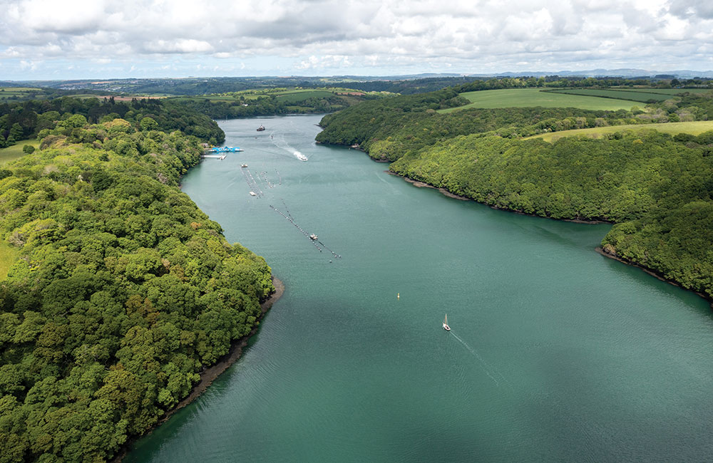
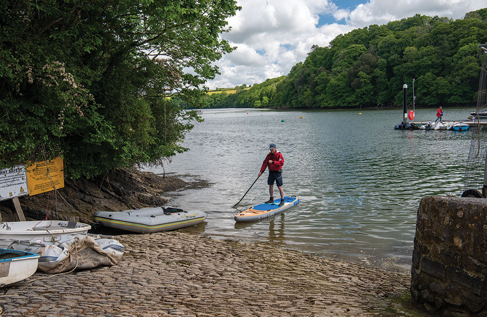
A Cornish classic on the Truro and Fal rivers, between the cathedral city and the historic port of Falmouth, with plenty to see on the way. Launch from Boscawen Park and head downriver to Malpas, at the confluence of the Truro and Tresillian rivers, for refreshments at the great café and inn.
From here, the wooded far bank of the Tregothnan Estate, with lines of moored boats, curves round to the river Fal. Pass thatched Smugglers Cottage, where General Eisenhower stayed during the preparations for D-Day Landings, and the entrance to secluded Cowlands Creek.
At mid-to-high tide, paddle up the creek to Coombe, enjoying views of Tregothnan’s tea plantations, or visit historic Roundwood Quay.
Continue past the King Harry Ferry and the entrance to Channals Creek with views up to imposing Trellisick House (NT) on the hillside above. Turnaware Point offers an idyllic grassy picnic stop, and oysters can be foraged on the exposed shingle bar at low tides.
Keep to the west shore of Carrick Roads, passing Loe Beach and Mylor harbour, then cross the busy entrance to the Penryn River to reach Fish Strands Quay slipway in Falmouth.
Starting point: Boscawen Park, TR1 1SG.
Grid ref. SW 8331 4364 (50.2529, -5.0411).
Exit point: Fish Strand Quay (public slipway) TR11 3AH.
Grid ref. SW8092 3287 (50.1553, -5.0684)
Launching/exit: Slipway adjacent to car parks
Parking: Boscawen car park, Malpas Road, Truro, TR1 1SG
Pitstops: Malpas Heron Inn, tel. 01872 272773. Coombe Secret Cupboard and Tea Garden (check Instagram for opening). Loe Beach to-die-for homemade cakes, Loe Beach Café, tel. 07976 834965
Getting there: At the A39 Trafalgar Roundabout in Truro, turn off for Malpas, continue for 1km, then take the 3rd exit on the mini-roundabout to the car park.
Special points: Timing is critical for this tide-assisted trip. Ideally, choose a spring tide and launch before high tide, using the ebb to assist the paddle to Falmouth (if starting from Falmouth, choose a flooding tide). A southerly wind funnels up the main estuary and, although reasonably sheltered for the first half of this trip, makes progress difficult past Turnaware Point into Carrick Roads and also leads to water chop. Plenty of boat traffic closer to Falmouth.
Full route map: https://www.islandeering.com/paddleboarding-truro-to-falmouth/