
Words: Kristoffer Vandbakk
Photos: Kristoffer Vandbakk
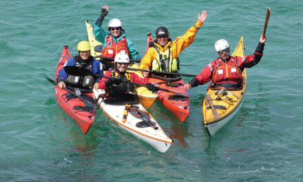
Kristoffer Vandbakk
Bio
Kristoffer Vandbakk is a sea kayak guide and coach based outside Oslo, Norway. He is an ISKGA guide and coach, BC Sea Kayak Leader and Norwegian Paddle Association 5-star coach. He runs the guide company Norwegian Sea Kayaking which organises guided expeditions in the Lofoten islands each summer.
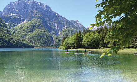
Sørøya – the green island
Far north in Norway, at 70 degrees latitude, lies the island of Sørøya. Directly translated to English, Sørøya paradoxically means south island. This island is often called the green island due to its intense green-coloured vegetation in the summer.
The island is the fourth largest in Norway, with about 1100 inhabitants. About 1000 live in the western part, and fewer than 100 live in the eastern part, and the two are not connected by any roads. Hasvik is the largest town, with an airport and ferry terminal. As with most coastal societies, the fishing industry is the largest employer.
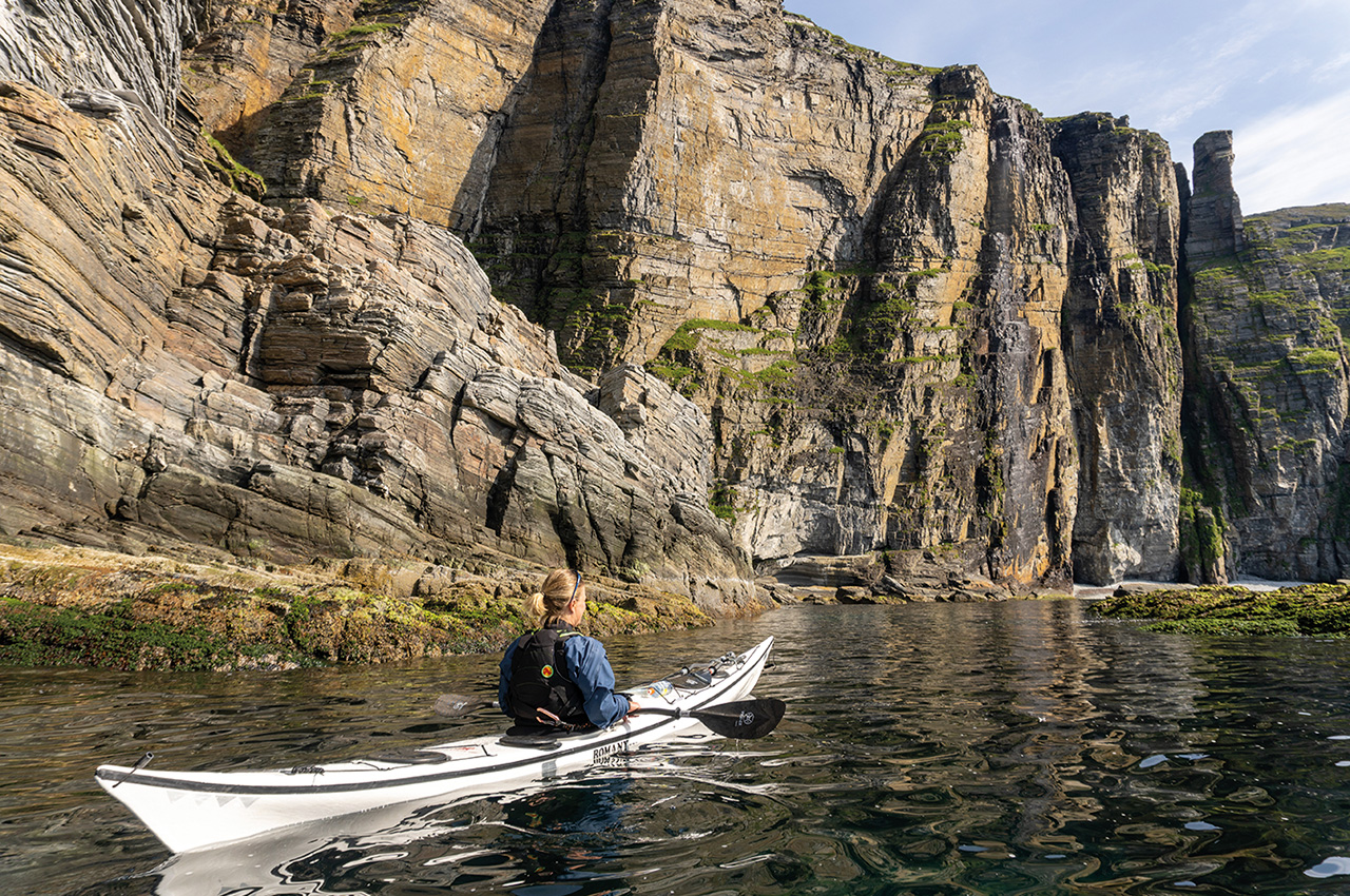
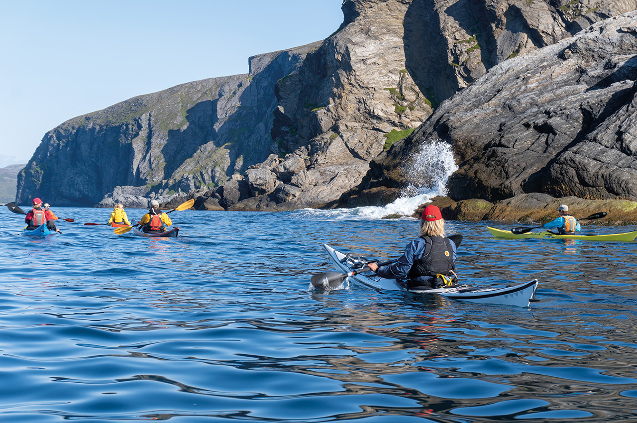
I enjoyed guiding and coaching on this island in 2018 and 2019. During that, I got to explore the Western part of the island. With the village of Sørvær as a base camp, we had an excellent starting point for visiting nature reserves and the exposed waters on the west coast.
ANDOTTEN NATURE RESERVE
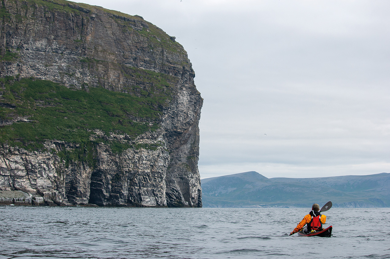
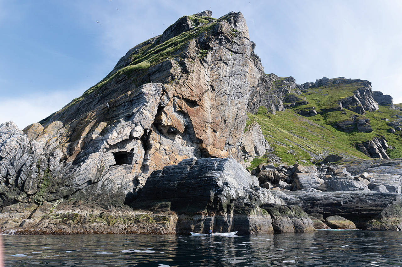
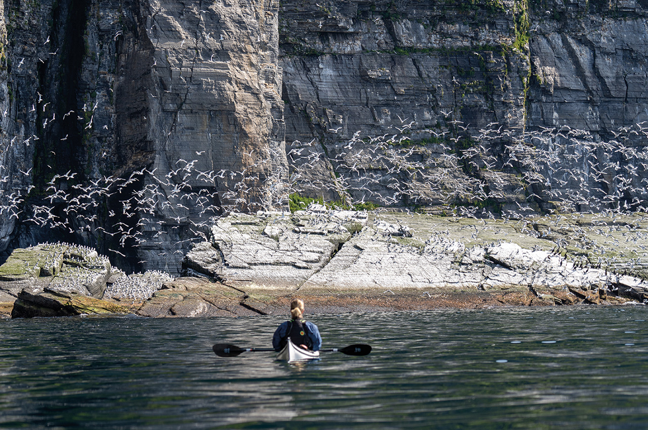
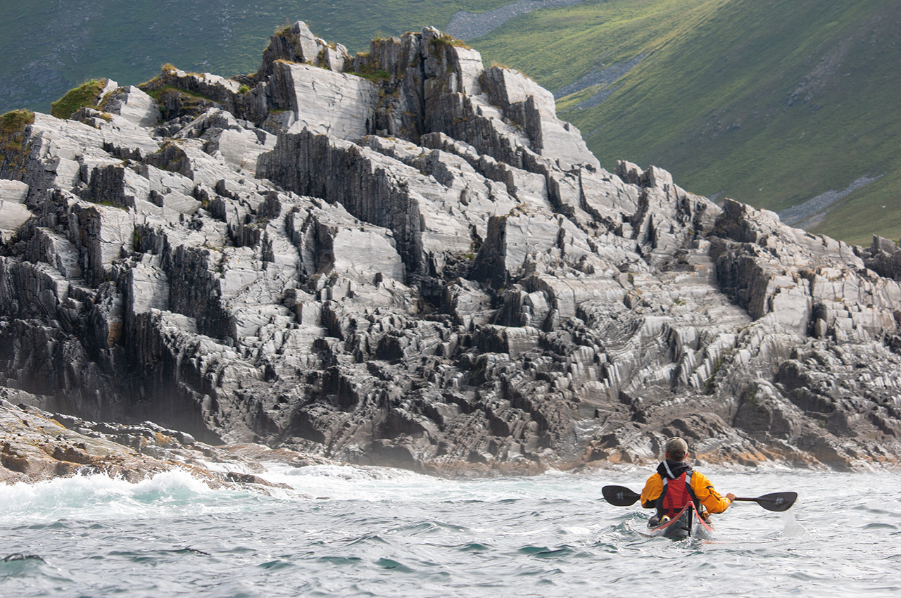
From the village of Sørvær, the Andotten nature reserve lies an hour’s paddle away. The reserve has a huge colony of Kittiwakes, and there are large numbers of cormorants, black guillemots and sea eagles. The nature reserve is located on a sea cliff, sometimes referred to as little Nordkapp due to its similar shape.
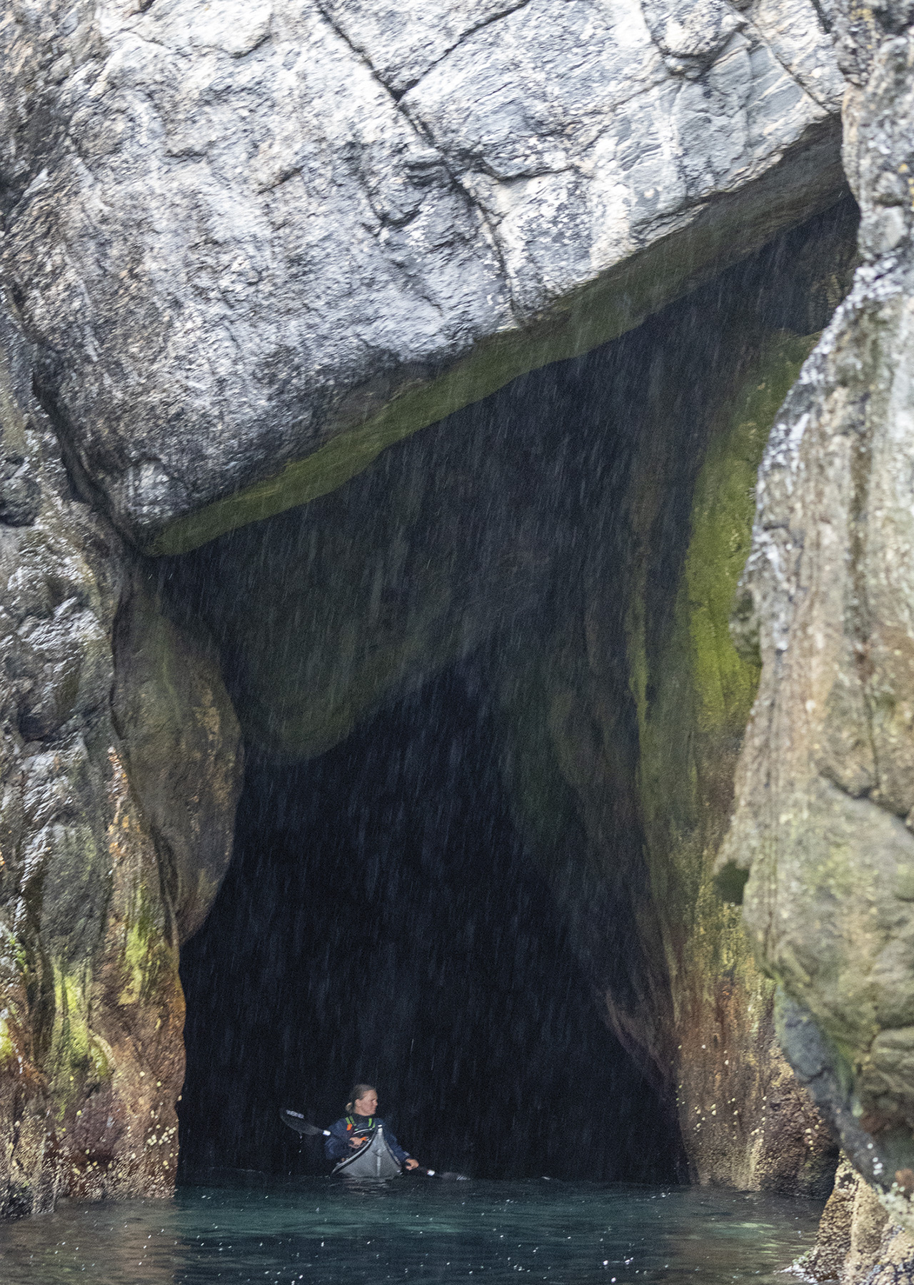
For sea kayakers, there are several exciting features to explore at this nature reserve. There are several large and small caves to explore, and these caves often inhabit birds, adding to the immersive experience with sound and smell.
The sea eagle population has recently increased here, while the kittiwake population has decreased. While there, we could see the eagles scaring hundreds of kittiwakes as they flew along the side of the cliff. There is a constant swirl and movement above, with thousands of birds flying around.


THE TOWN OF HASVIK
Starting from the beach at Hasvik, there are several interesting routes to paddle. An isolated pebble beach called Rekeskaret is one of the more interesting locations to visit, and it’s not accessible by foot due to the cliffs surrounding it. The whole beach is covered in small pebbles and some enormous boulders balanced on top of smaller pebbles. The locals say it is bad luck taking rocks away from this beach. Despite this slightly disconcerting rumour, it is an excellent place for lunch before returning to Hasvik. Rekeskaret beach lies near the mountain Søre Knotten, northwest of Hasvik.
DØNNESFJORD
Following a bumpy gravel road from Hasvik to Dønnesfjord opens up another section of an exposed and remote coastline. The fjord has about 50 buildings, primarily used as holiday homes during the summer. There is also an old school and church which served a permanent population from 1880 to the late 1960s. During the Second World War, all buildings in the fjord were burned down in the scorched earth tactic the retreating German forces used. After the war, the school and other buildings were rebuilt, and a small community existed until the late 1960s when the country went through a centralisation policy. This policy aimed at creating at least one sustainable central community in each municipality.
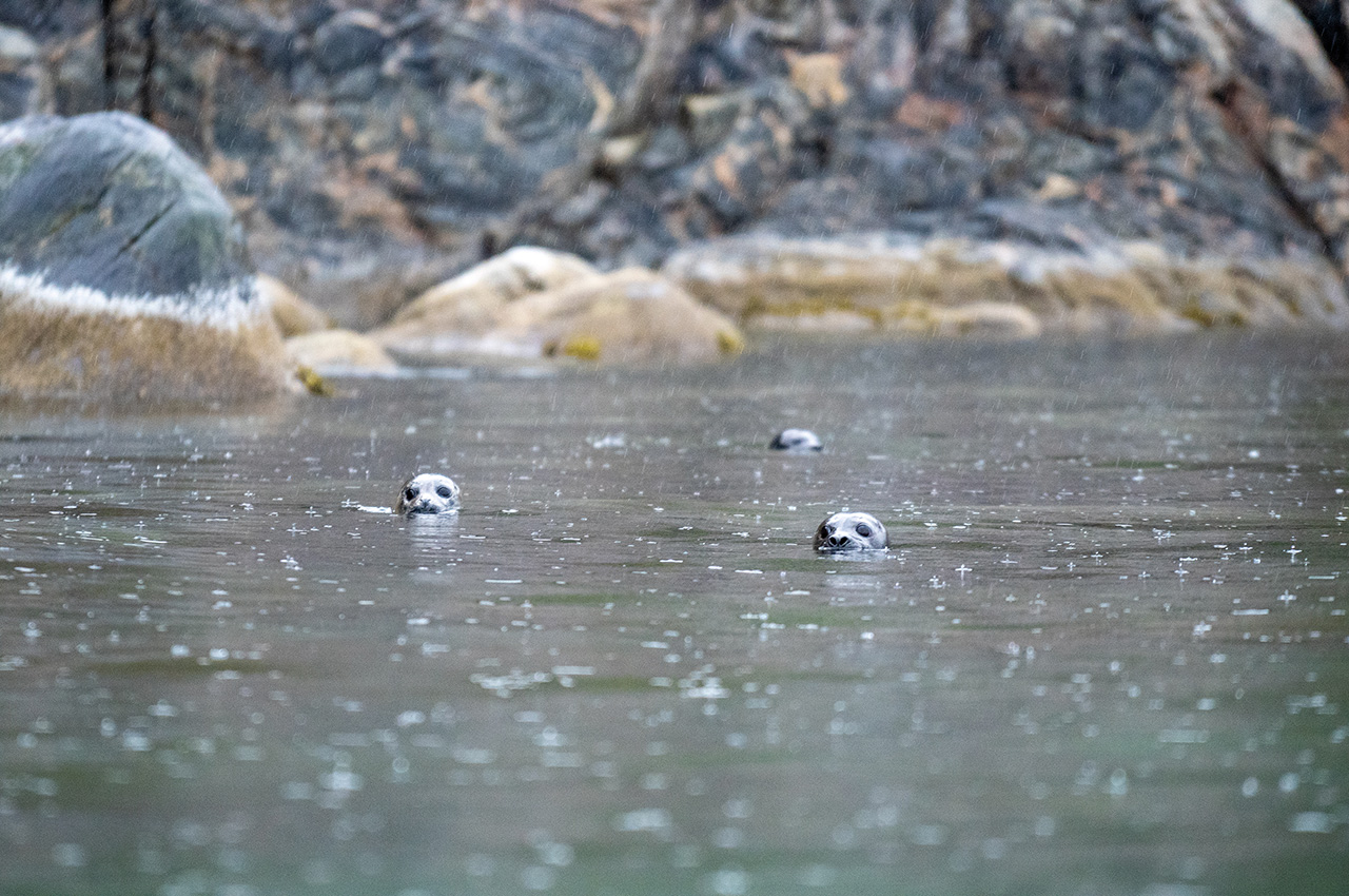
Consequently, small coastal communities along the entire coast of Norway saw a decline in population in favour of more central towns with more amenities and services. The population in Dønnesfjord moved around 1970, and the few remaining houses are now mostly summer houses. As a destination for sea kayakers, the fjord feels remote and has seals and porpoises. There are several sandy beaches with great campsites.

SØRSANDFJORD
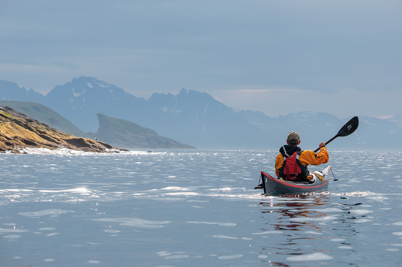
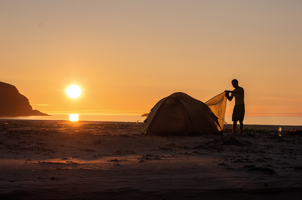
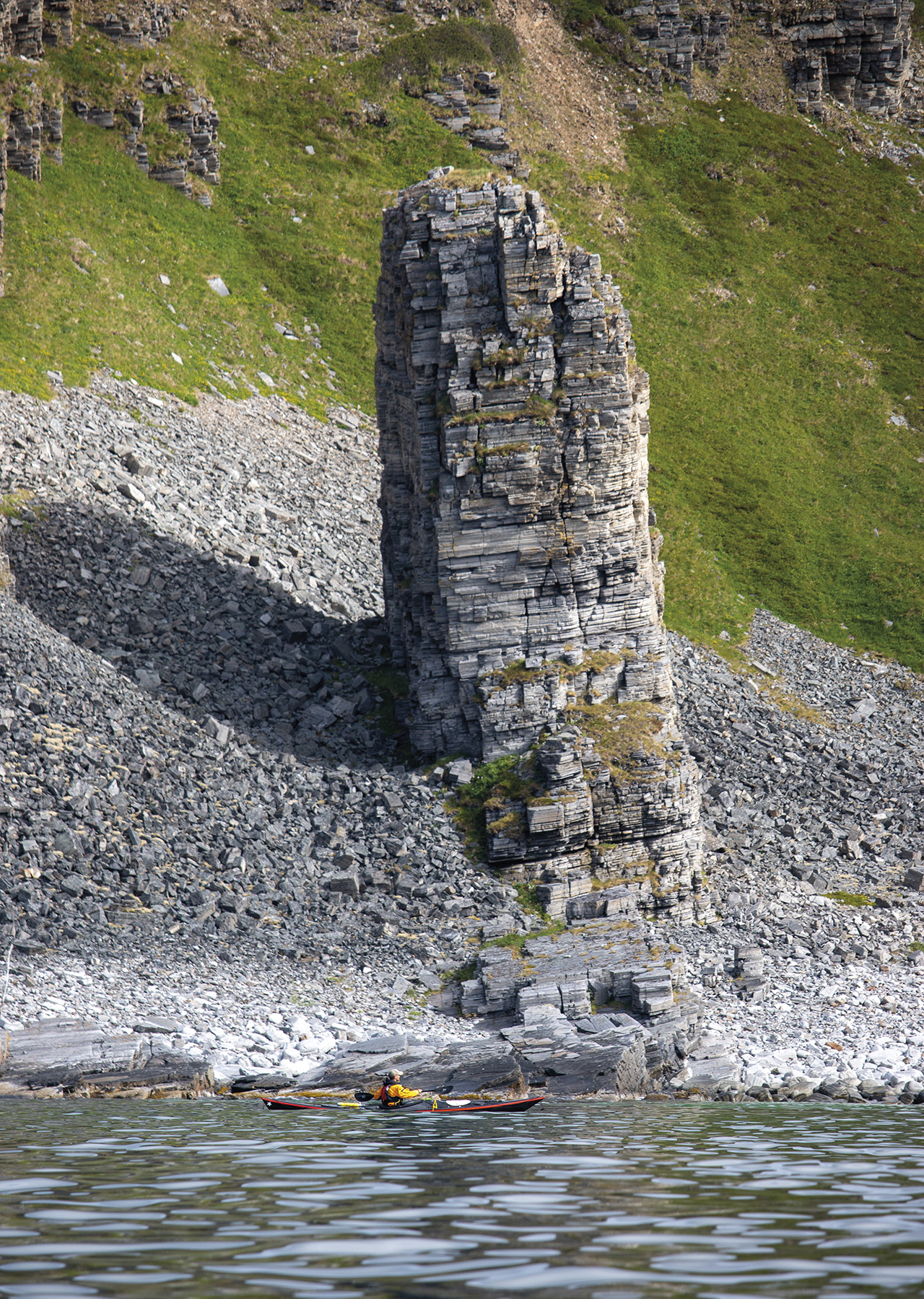
The exposed Northwestern coast is a spectacular coastline which can be explored when the conditions allow it. We have had several great overnight trips to Sørsandfjord, the largest beach in Finnmark County. Starting from the village of Sørvær, we paddled past steep cliffs and caves. The tide plays a significant role on the island, moving north on the incoming tide and south on the outgoing. The Sørsandfjord beach is exposed to the open sea and can therefore have significant surf. The beach is facing North, which means you can see the midnight sun nearing the horizon during summertime. There are several sea eagles there, and there are also large caves to explore on foot. The population used these caves to seek shelter from the scorched earth tactics during the Second World War.
Tall mountains and fjords
Sørøya island is like most paddling in Northern Norway, very exciting but exposed to the elements. The advantage of this island is that it is possible to find a sheltered route to paddle if you have a car. Tall mountains and fjords allow some shelter from winds and swell with a little planning. While there, we felt we had the whole coast to ourselves. We rarely saw boats and no other paddlers.
Most tourists explore the island on foot, fishing in the numerous freshwater lakes in the highlands. As guides, we kept in mind that we were in a remote setting. Satellite communication was necessary as a safety precaution. July is probably the best month weatherwise, and we had everything from 12 to 25 degrees while we were there. It is a relatively long way to drive up there, even for most Norwegians. I have been there two times now, and I still have only seen a small part of this place. I would love to go back, and I hear the island’s Northern part is equally beautiful and remote.


