
By Liz Garnett
A trip around the pointy bit of England
Kernow grand tour
The clock was ticking and summer was just around the corner. An adventure was on the cards. Where should we go? Brittany? Donegal? Orkney? Hebrides? I would happily sea kayak in any of these locations but squeezing a long drive and ferry crossing into a 13-day mutual holiday window was tricky. The somewhat surprising choice was simple and local: Cornwall (or Kernow to the Cornish). This might have been a cop-out except for two details:
- The challenge was set as a navigation of the entire county’s coastline and
- I’d never paddled in Cornwall.
All we needed was a bit of favourable weather and the 200-mile challenge was achievable; I also needed to ignore my bad vibes about the approaching summer’s weather. However, the metaphorical towel was thrown down: Eurion created a logo and got us a sticker. Our holiday had officially become an expedition and the four of us were ready for action!
Headwinds
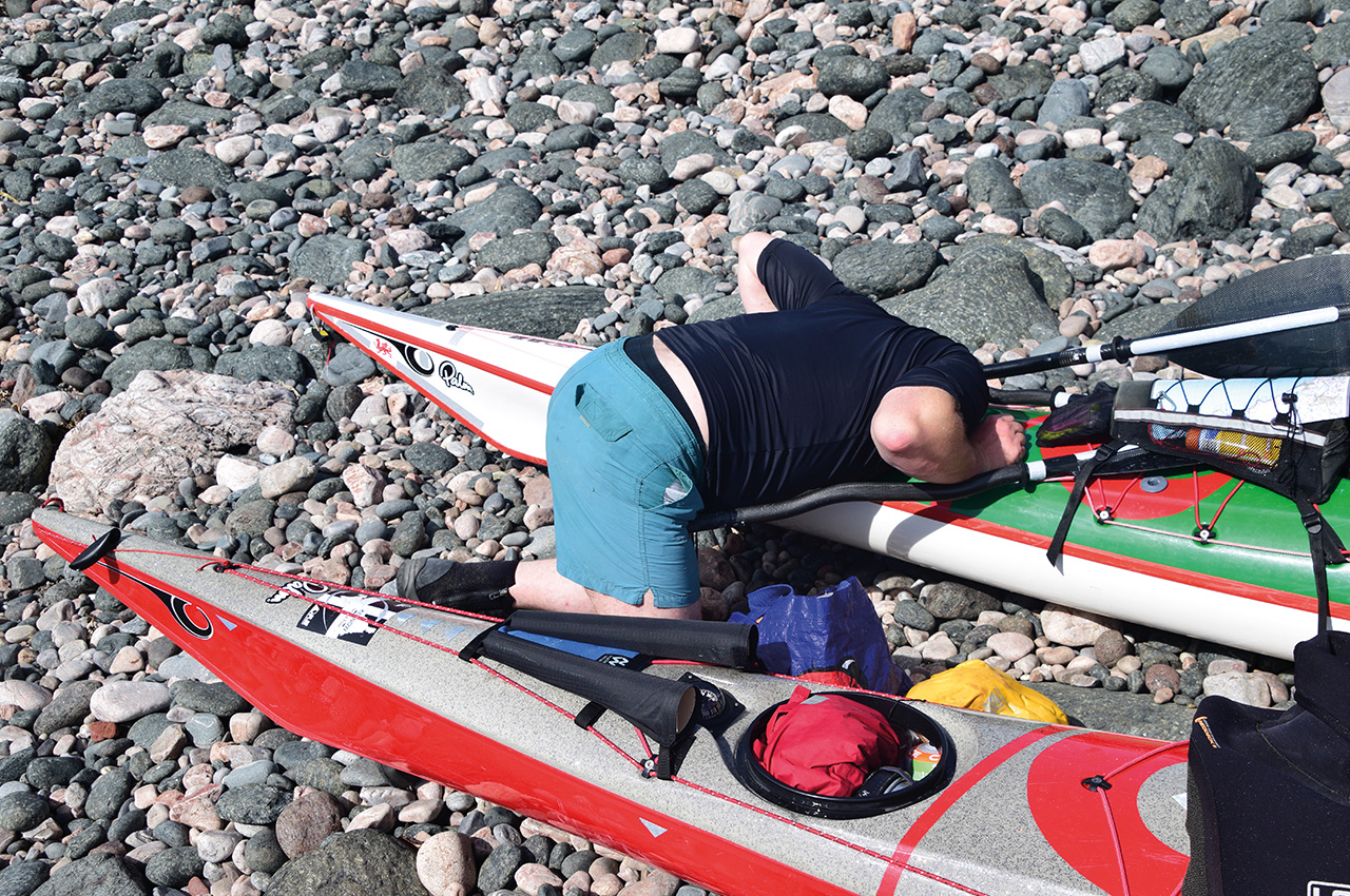
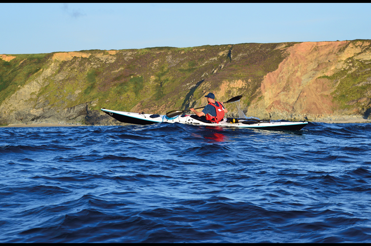
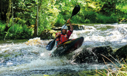
Fast forward several months and I’m sleeping in a car park at Bovisand, the most westerly bay in South Devon. Plymouth and the start of Cornwall proper, the River Tamar, is just a short hop across the sound. Besides a brief midnight interlude of teenagers thrashing mopeds, it was a remarkably pleasant night’s sleep. I do love the romanticism of an adventure in the making. We spent the morning squeezing the mass of kit into our fleet of Cetus’ and then launched into a rather brisk NW headwind. This was a weather pattern that we struggled to break for many days.
The in-ya-face breeze kept us company through days one and two. The first camp spot, on a cobble berm at Seaton, blessed us with a driftwood fire and the most stunning moon rise ever. The following day we continued past Looe, cutting nicely through the middle of a sailing race. A brief stop amongst the tourists at Polperro reminded us that this was prime summer season, a fact that’s easy to forget when you are weaving amongst the rocks along the coastline. But they were soon left behind as we continued westwards, dipping into the bays to try and avoid the worst of the wind, only to find ourselves dodging day trippers, cruisers and fishing boats at the entrance to Fowey.
We dropped into tourist mode once again at the fantastically named Readymoney Cove. Sheltered from the wind, this cove was in British Summertime. Ice creams may have been purchased. We soaked up the rays and waited… hoping that the evening would bring a drop in the wind and allow us an easy 8km paddle across St Austell Bay. An uneventful crossing was highlighted by gannets diving for their supper. The spectacular green pyramidal cliffs of Penare Point welcomed us to the west side of the bay. The temperature dropped significantly as clouds covered the sun and we paddled on into the evening.
We eventually landed sometime after 8pm on the stunningly sandy Vault Beach. Our bodies had found ‘kayaking mode’ but that doesn’t mean that we weren’t properly knackered after 38km! A very late dinner was not exactly enhanced by squillions of sandhoppers trying to commit suicide in our meal. A grim forecast for the next day meant an early start, to try and avoid the worst of that damn headwind…
Day three was a slog.
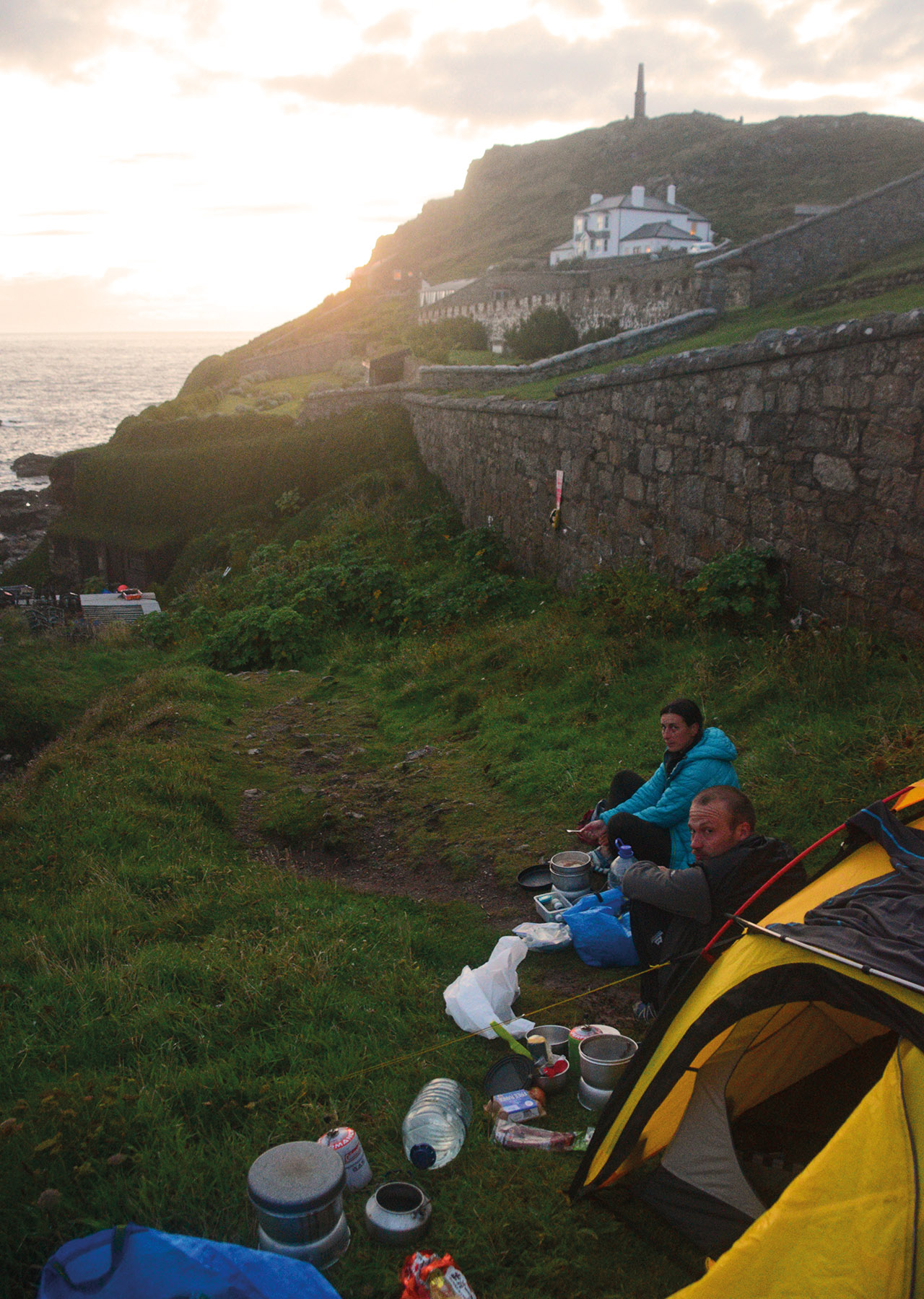
Four and a half hours of interminable plodding. We snuck past Dodman Head, hid behind every possible rocky outcrop in Veryan Bay, blessed the volunteer toilet warden at Portholland and then crawled around Nare Head, saluting Gull Rock #1. There was a definite sigh of relief when we gave up and camped on a lovely grassy bank above Pendower Beach, on the isolated Roseland Peninsula, after a measly 16km. Tea drinking and blustery clothes drying was the order of the afternoon, as three of us looked on in bemusement as Eurion tried to organise the most complex escape plan in the history of sea kayaking. Against all the odds, he managed it and went to London – for one day.
Dolphin and chips
Suitably recharged by café culture, we headed straight across Mount’s Bay, a 21km short cut across the last major bay in south Cornwall. Calm weather and glassy seas were the perfect ingredients for being caught in the middle of a dolphin dinner chase. Round and round they went. Fins in the front, to the side, at the rear. Amazing! And then it was time to settle in, heads down and paddle. Porthleven, keep paddling. Praa Sands, keep paddling. St Michael’s Mount, keep paddling. A moored tanker, keep paddling!
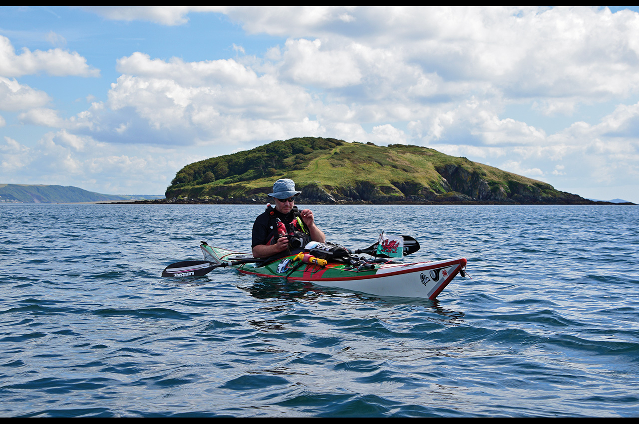
The weather gradually deteriorated and four hours later we flopped out in Mousehole harbour, a picture postcard of charming cottages cupping an army of fishing boats. Three words: no chip shop. Chris cried. It was 7pm, a hugely long day that had also encompassed rounding the Lizard, Britain’s most southerly point. We plodded even further south to Lamorna Cove, passing (what should be) the namesake giant mouse sized caves. This epic 41km paddle had, however, landed us on Land’s End peninsula, the most westerly point in Cornwall, and indeed of England.
Monsoonal weather
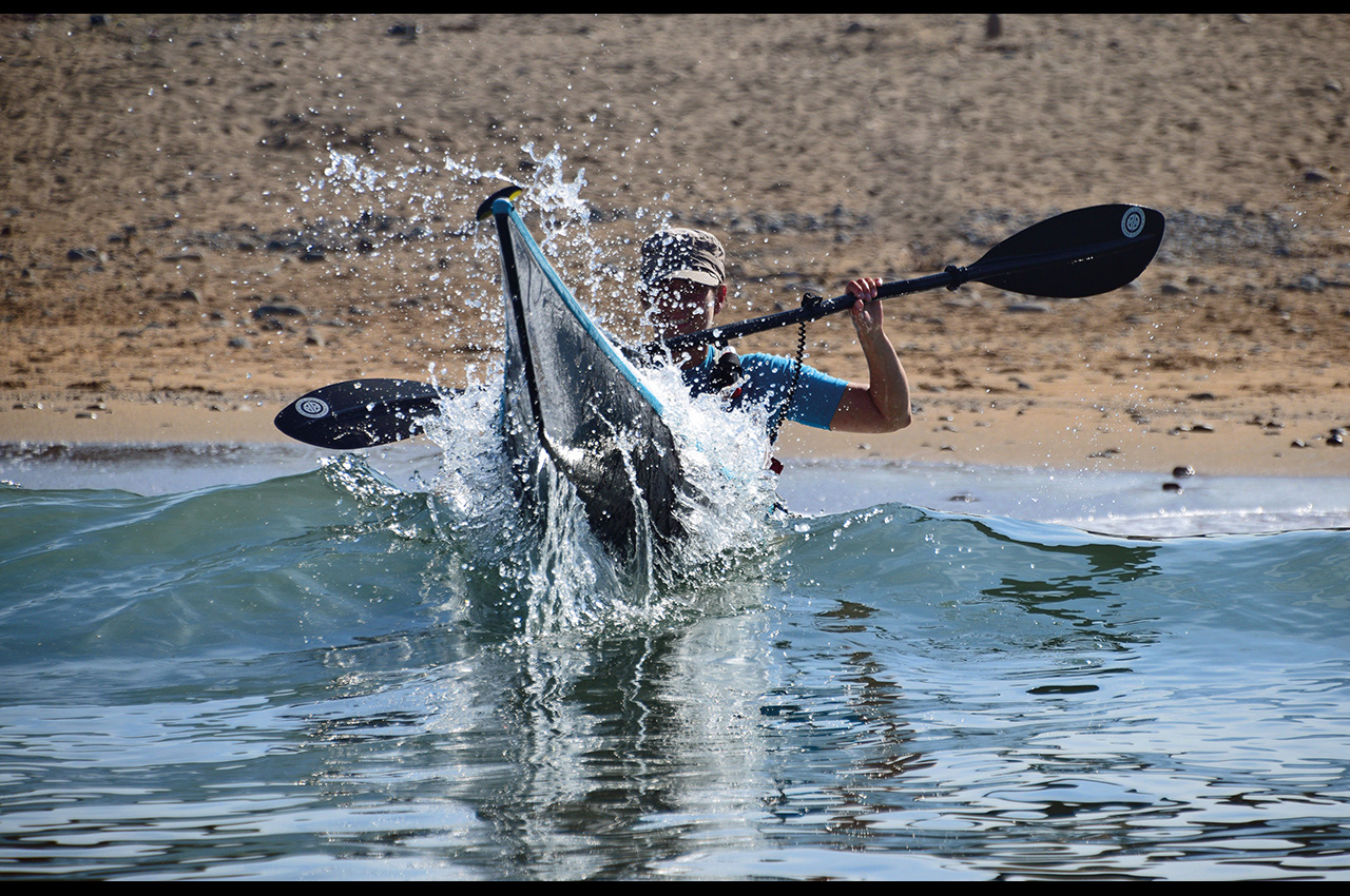
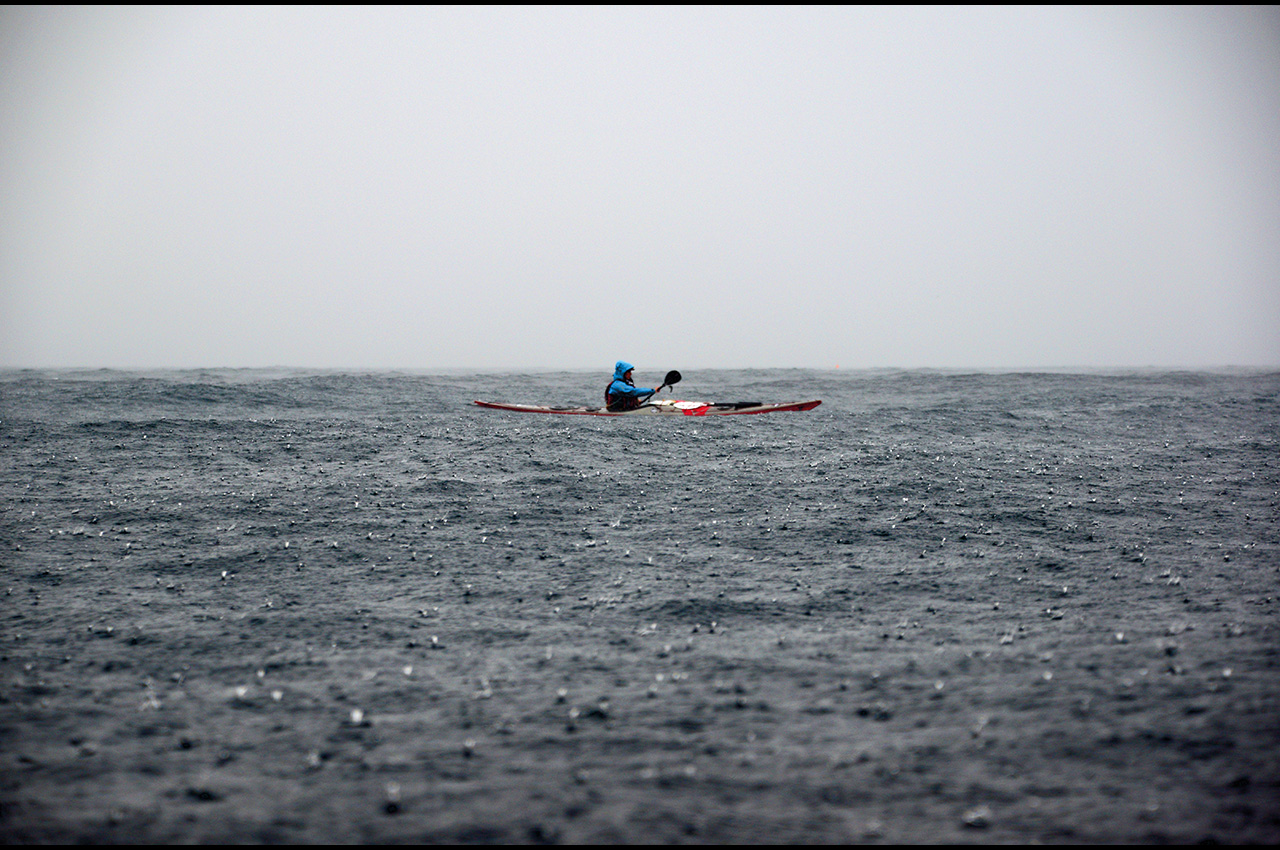
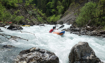
Lamorna Café sells huge breakfasts and has great cake. There’s a plentiful supply of tea too. We watched the rain, checked forecasts, perused the maps and debated. Was day six good to go? Land’s End is exposed to the Atlantic swell and the weather wasn’t ideal. When the rain stopped at 15.00, we opted to launch. The sea was lumpy and then got a bit wilder.
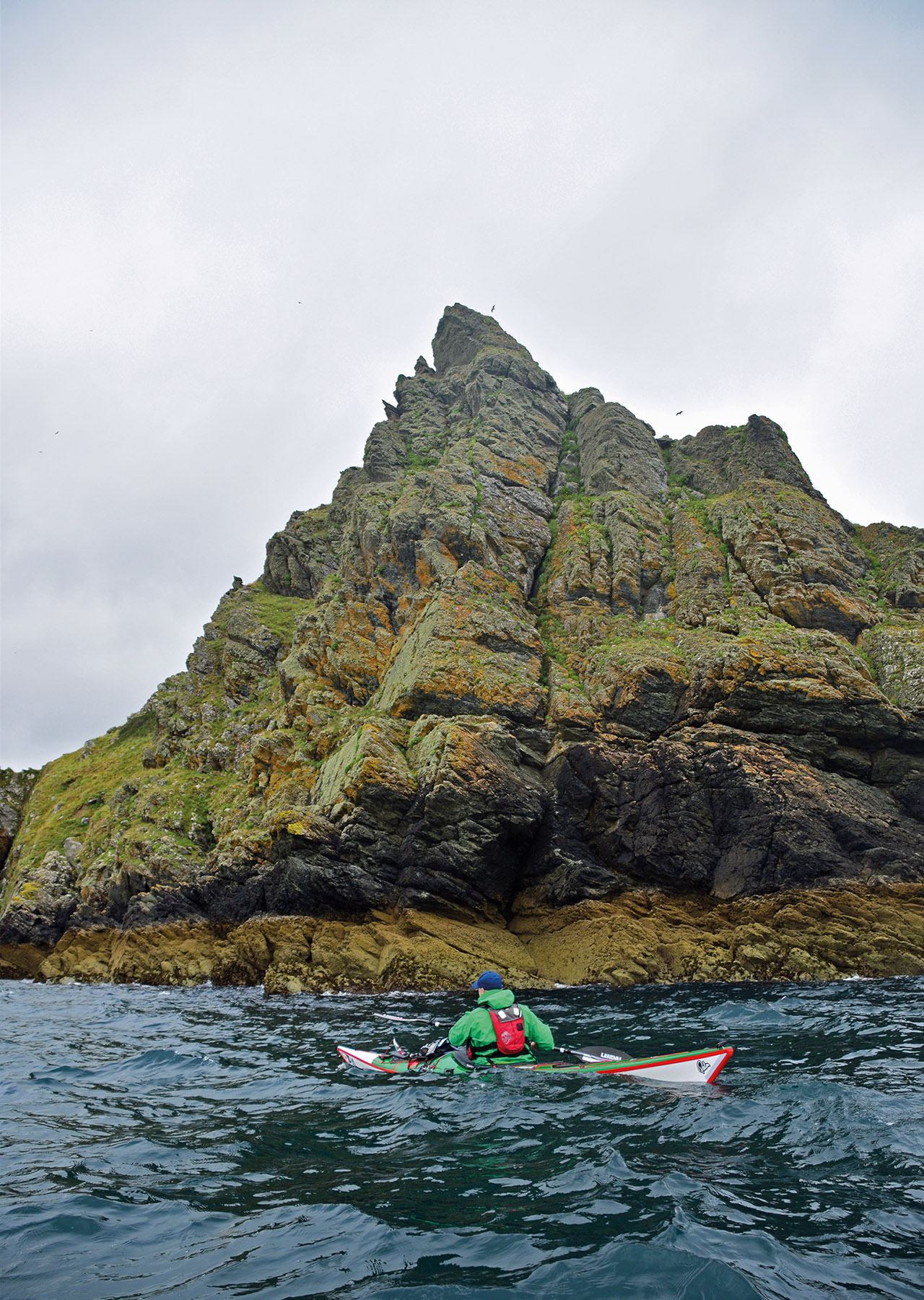
England’s most westerly point is, apparently, epic in terms of scenery and jutting outcrops. But the cloud was down and the sea around Gwennap Head was a maelstrom of confusion.
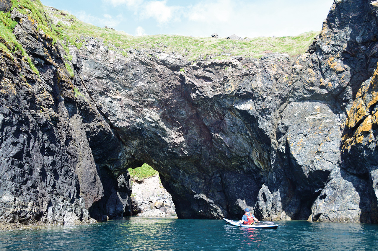
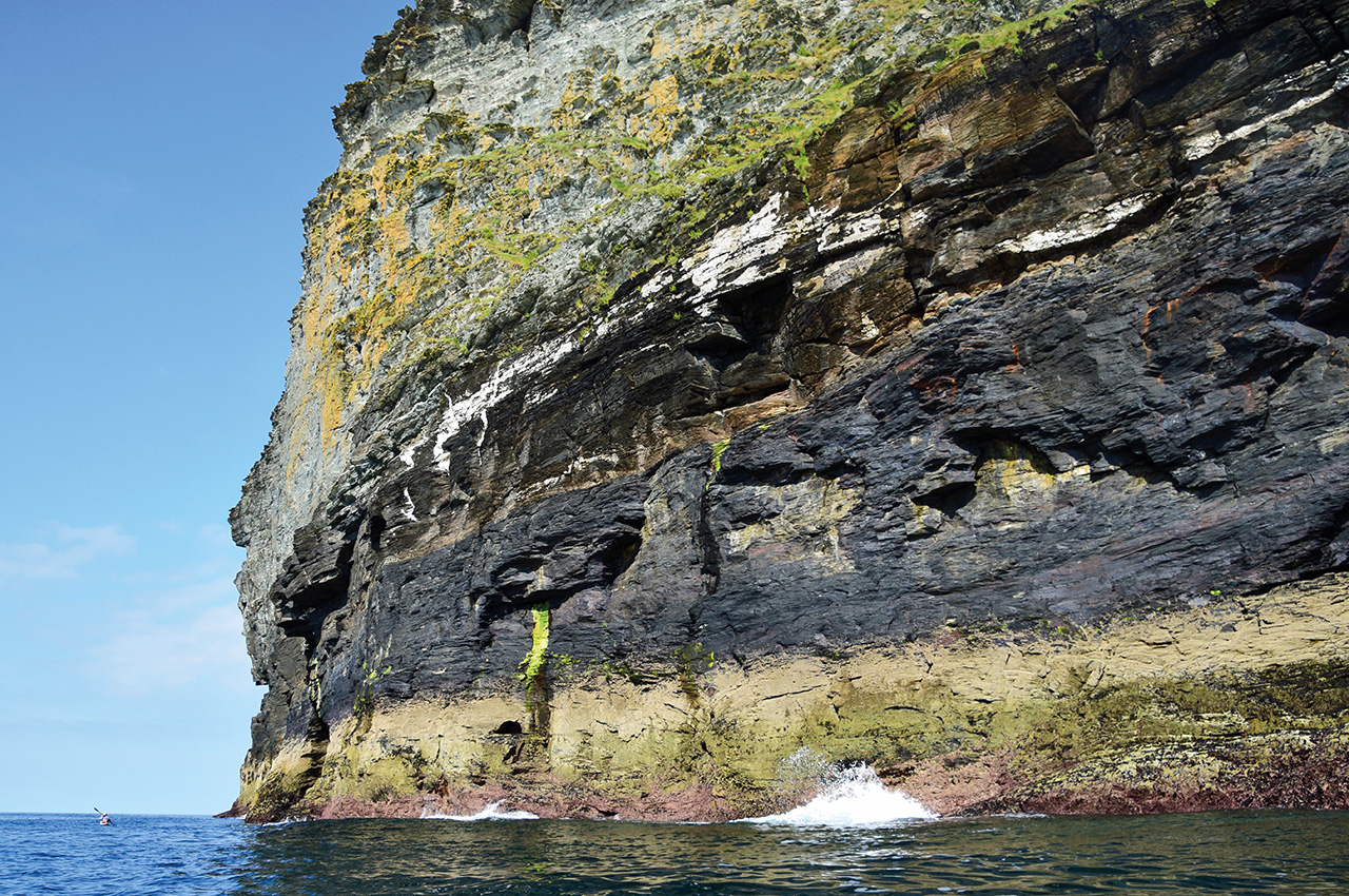
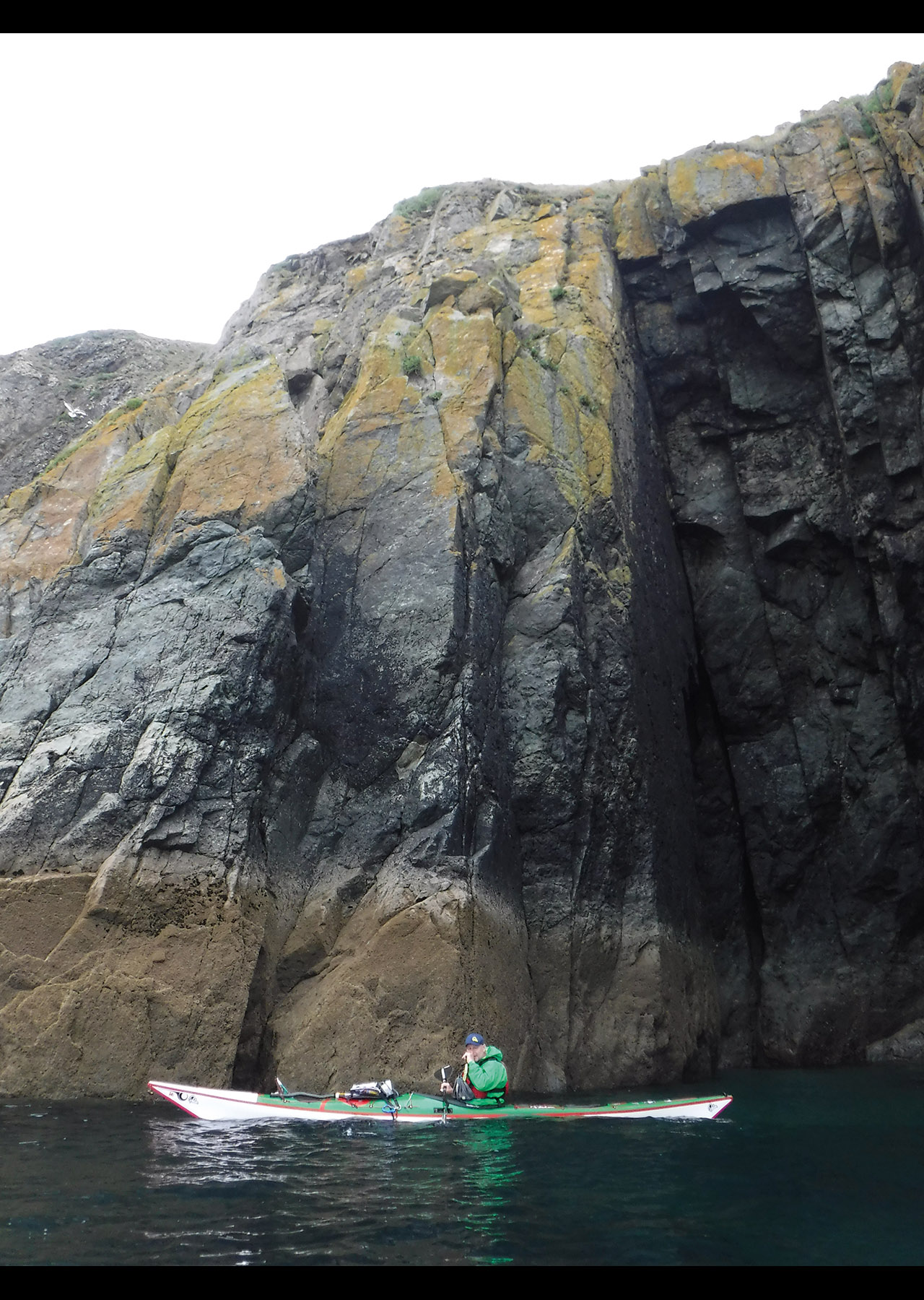
We snuck through relatively sheltered alleys between mainland and zawns (deep and narrow inlets). The arch of Enys Dodnan is truly epic in stature and memorable in that it provided a moment of calm water to pump out my cockpit! Longships lighthouse was just visible, until monsoonal rain arrived and coated the surface of the sea with mini impact craters. Laughably insane conditions! But this was a turning point; we were officially heading north, backtracking along the Cornwall peninsula.
The highs and the lows
After a brief stop at Sennen, we continued on for a very late landing at Priest’s Cove, just shy of Cape Cornwall. A steep slipway drops into the sea, where local fishermen haul their catch up to sheds enclosed within the cove’s rocky arms. We perched our tents on a grassy slope above the cove, overlooking Longships lighthouse. This was our first western view and allowed for a spectacular sunset. We ate dinner in the dark, watching the repetitive five-second flashes of light slip past, happy to be within the grasp of this tiny cove.
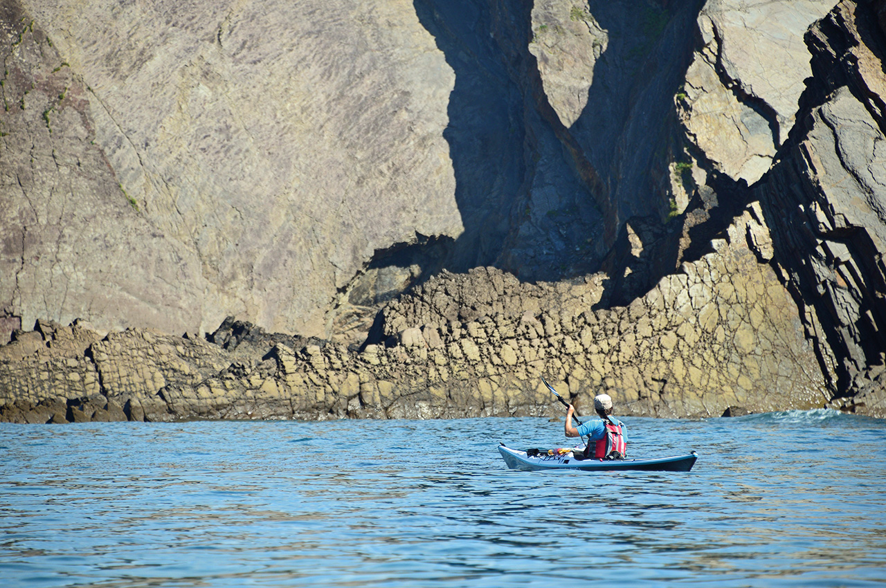
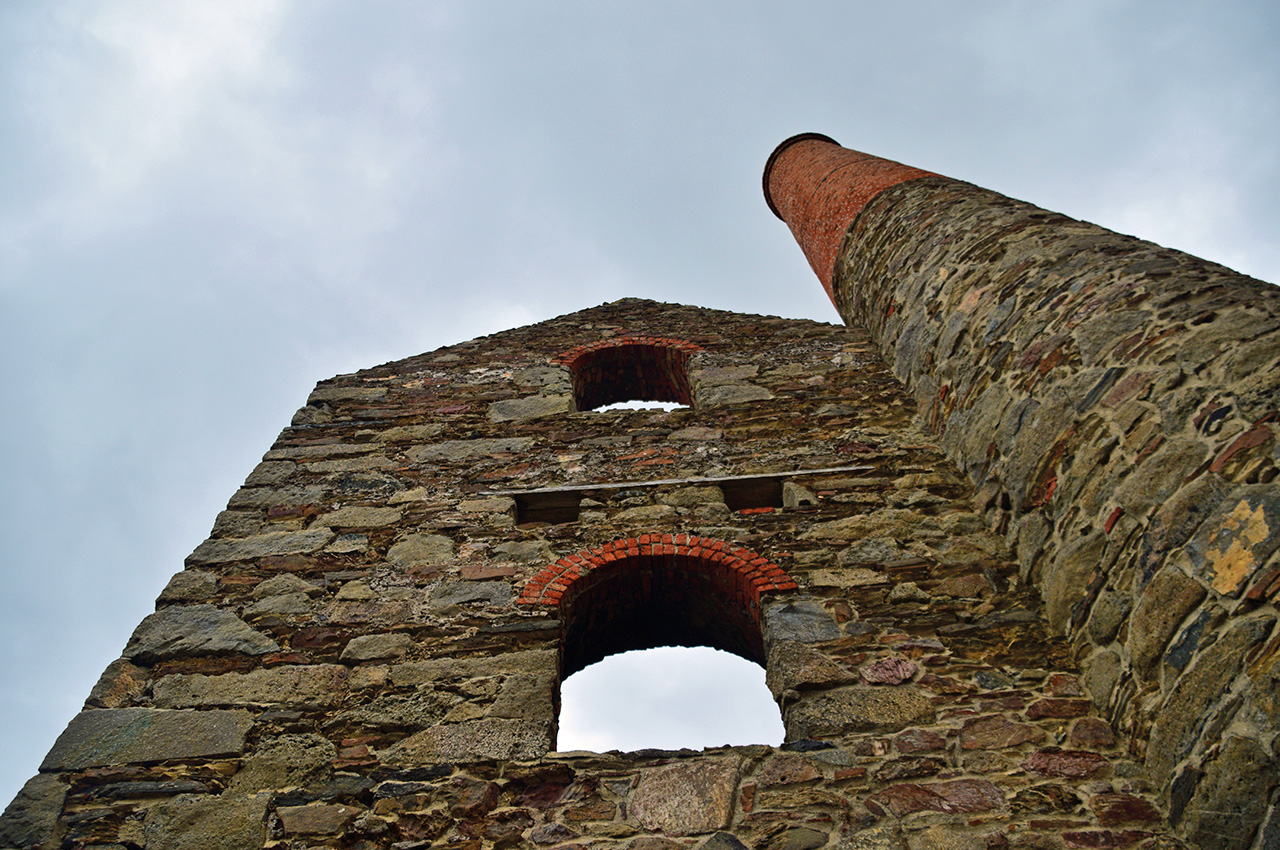
A series of late landings and 06.00 starts impaired my joy of the spectacular north coast mining scenery that followed. The journey north to St Ives (without any wives, sacks, cats or kits) is a repetition of towering cliffs topped by chimneys and derelict brick structures.
The morning shadow hid most of this coast’s true glory but it still impressed. The sun was out and the scenery was ticking boxes, but the long days, late nights and early starts had finally caught up with me by day seven. By the time we passed an unbelievably packed Porthmeor beach at St Ives, I was crawling along behind the others. Officially broken! And then came the culture shock – we landed amidst all the tourists in Cornwall. St Ives was teeming with burnt Brits!
Despite having had limited company for a week, we were still unabashed about spreading wet kit in a 10m radius around us. We had reached saturation point, quite literally, and were desperate to dry our clothes. Bless the sun!
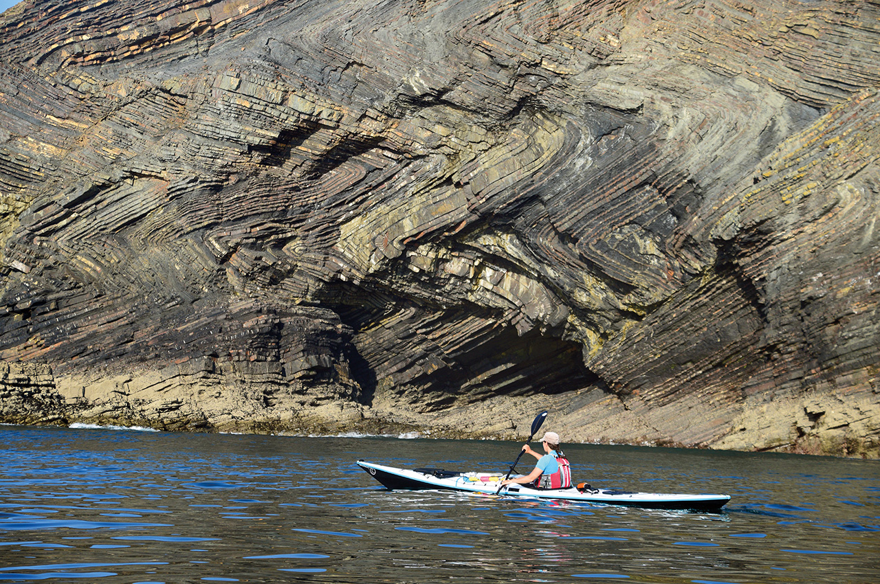
Suitably recharged by Spanish tortilla in St Ives, the afternoon paddle saw the Cornish coast completely change character. The tin mines were replaced by a fascinating collection of stacked sediments. Godrevy lighthouse has a secret (you’ll have to go there to find out) and the seal colony was surprisingly empty. However, the rolling swell delivered us to the Samphire Islands.
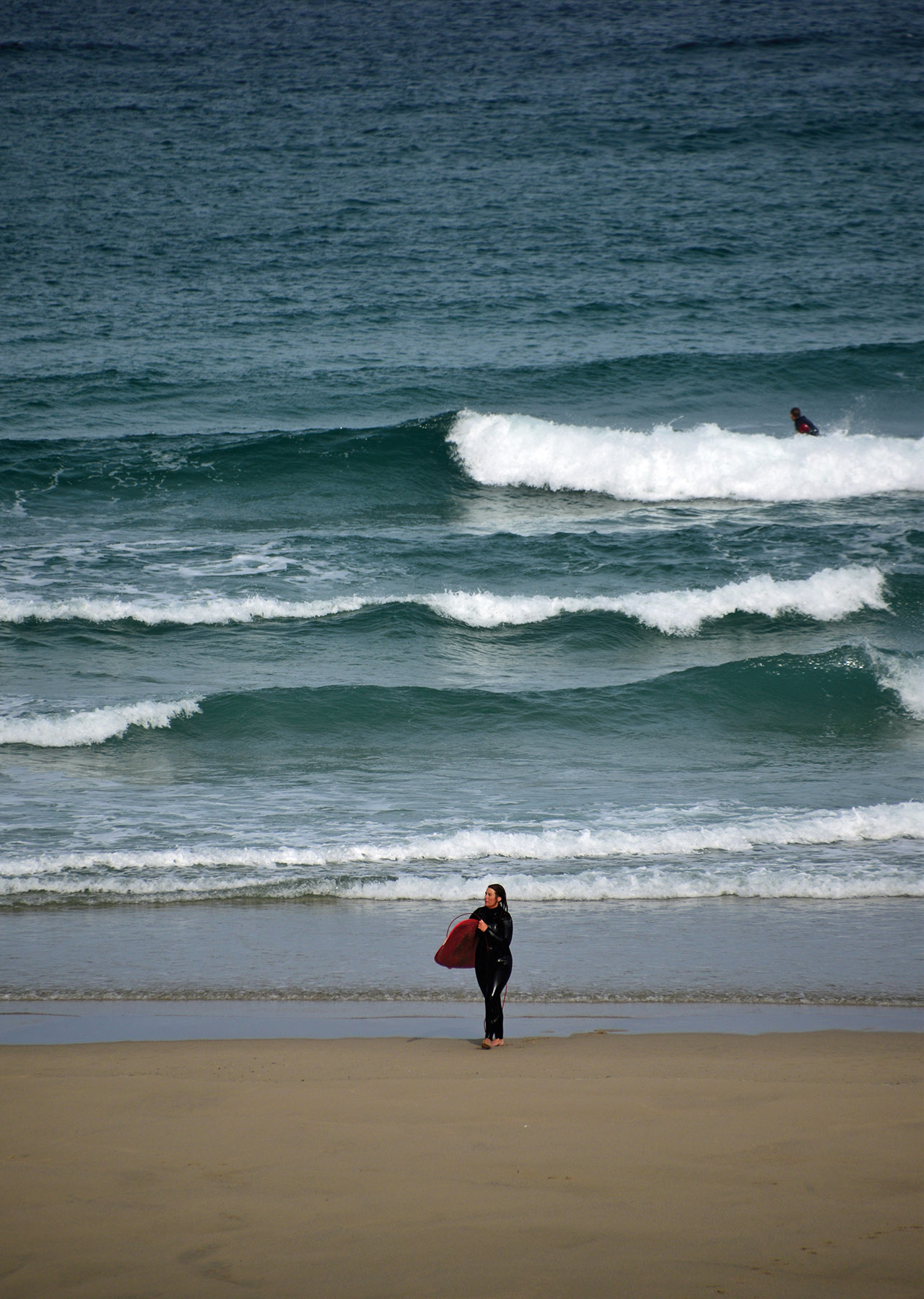
We squeezed through the pair of islands, gawping at the layers of mud and sandstone. The bizarrely named Ralph’s Cupboard was next. We didn’t see Ralph but his cupboard was an epic alcove in the cliff. However, the sun was setting and Portreath beckoned. A quick group discussion determined that the camping opportunities looked limited and so a frantic 4km dash to Porthtowan ensued, as we tried to land before full dark. In the fading light, we could see the white capped tops of the waves that were rolling into the beach.
A surf landing in the dark? What fun! Mark went first and was surfed wildly into the beach. He imagined the rest of us were doomed. Amazingly we all landed, much wetter than before, without incident. Adrenaline and cold wet bodies fuelled a crazed run up the beach, with the loaded boats.


Hard choices
In the darkness, we found a flat spot within the dunes, right in the middle of Porthtowan. Not exactly subtle, but needs must and we urgently needed dry clothes and food. The forecast for early day eight was OK, but deteriorated rapidly as the wind piled into the coast. Options were limited as we considered the exposed Atlantic coast and the increasing surf. I certainly welcomed the first opportunity for a day off and we spent the day mending and drying kit. A bit of tin mine tourism and more café time was a welcome respite from the hours at sea. However the forecast for the next four days varied from unpleasant to awful to downright wild force 7 as Hurricane Gert swirled across the Atlantic. A difficult decision was approaching…
Mark took one for the team and went down to the sea at 05.00 in the pouring rain. It was possible to launch, but where would we head to? We might get a few kilometres further north, and find a place to land, but then what? We certainly weren’t going to make the Devon border in the few days that we had left. So we called in quits, 220km into our journey around Cornwall but still an annoying 115km to go. A few good weather days would see us finished. We left with the wild idea that August bank holiday would deliver a balmy summer delight. I’m sure Porthtowan were pleased to see the pop-up village depart.
Counting our blessings
Unbelievably, eight days later, I was back in Porthtowan, sleeping in yet another car park. Mark and I had watched the intervening weather forecast with amazement. Three days of calm winds and sunshine were beckoning; this trip could be finished, albeit minus half the team. After being driven to the beach and tipped into my (now much lighter) kayak, we launched at 07.30. As I slammed down off the back of the miniature clean surf, it was a joy to be back on the sea. The Devon border seemed to be achievable.
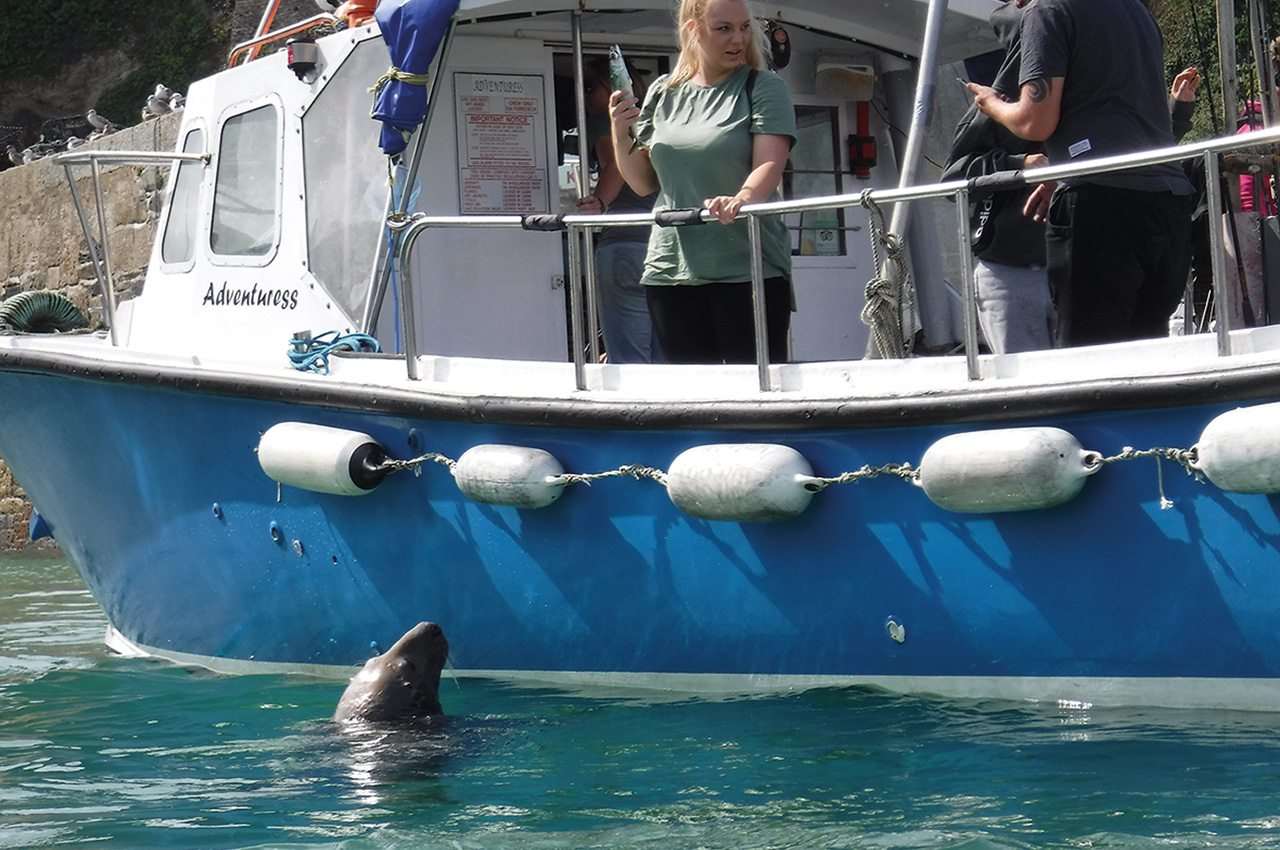
This stretch of coast is filled with appealing gullies and I managed to persuade Mark that we had time to explore a few. There is also the delightful pair of islands called Man and his man, and the less imaginative Gull Rock #4. We watched the top of the Atlantic swell rolling into Perranporth and Holywell. In the shelter of Newquay harbour, we waited for the afternoon tide and spotted the resident seals. It was quite clear why they were resident: mackerel. They were being fed from the tourist boats!
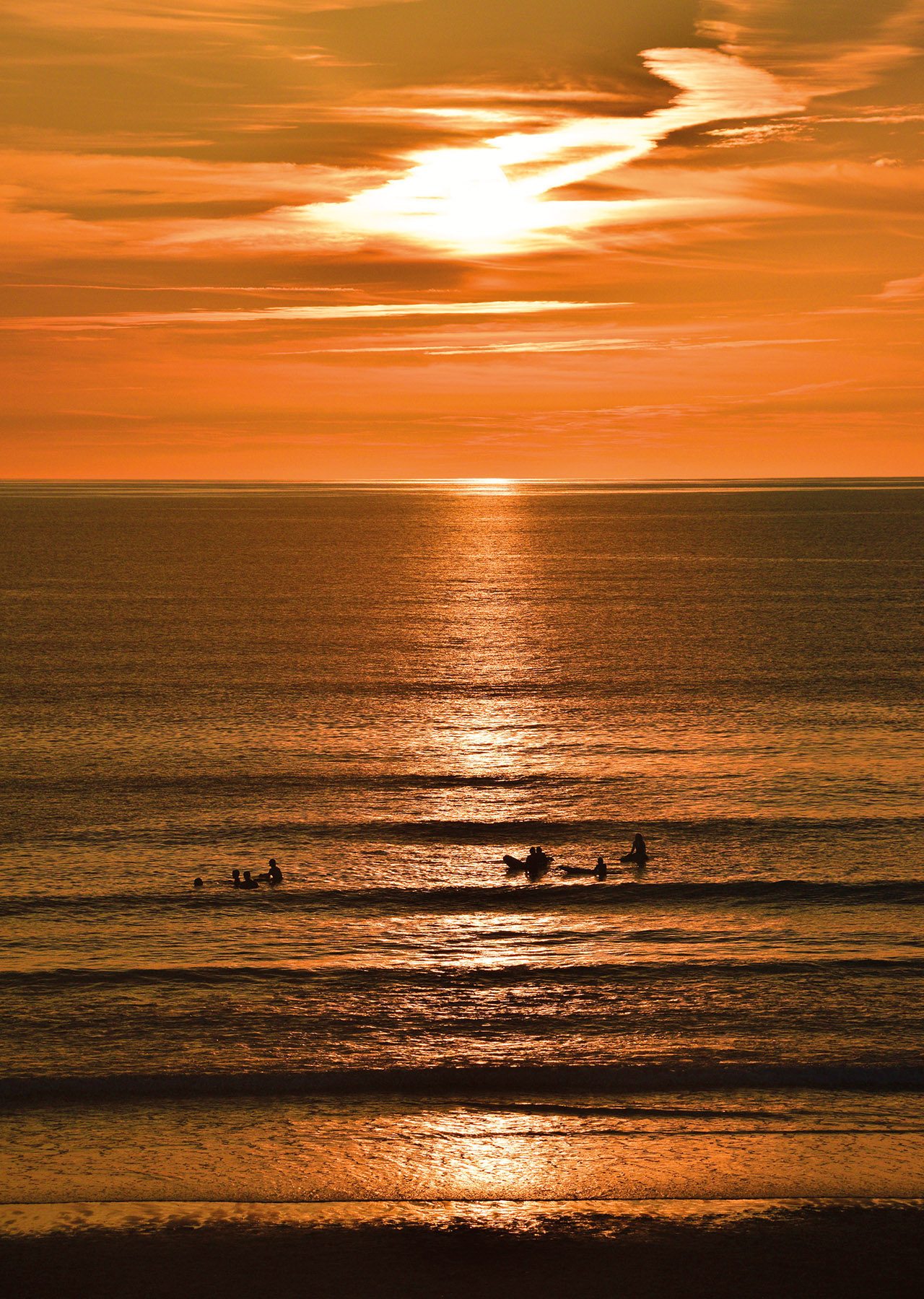
The afternoon was tranquil. The sun shone and we made excellent time, the miles clocking up. The disappointment was the craggy coast that cried for exploration, slipping inexorably past on our right. Trevose Head, and its lighthouse, glowed in the evening sun and it was definitely time to find a landing spot. We’d progressed another 42km and were blessed with the most incredible evening spent above the beach at Harlyn. The sunset was wonderful and dawn, simply stunning. The lavender and rose skies suggested we were in for more cracking weather.
Glassy seas
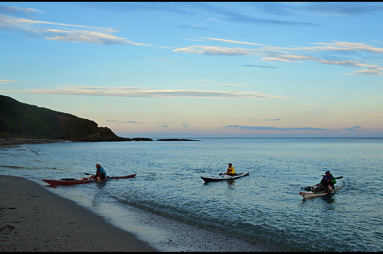
Another early launch into the glassy sea was barely a hardship. Day nine just got better and better. The unique outline of Pentire Head, silhouetted in the morning sun, was more reminiscent of a dragon’s scaly ruff. The decision to continue around Port Isaac Bay against the tide, turned out to be an excellent one. The tide was unnoticeable set against the fascination of this stretch of coast: caves, zawns, islands. It’s all there. The bizarre right-angled catacombs of Dennis Point fashioned the strangest cliffs I’ve ever seen; how does the sea repeatedly shape 90° bends? We rounded the point and came face to face with the masses, clustered on the rocks like oyster catchers, waiting for the tide to expose Trebarwith Strand. The kayaks slid onto our personal, private beach, overshadowed by immense cliffs; the kayaks tiny specs against the cliff’s magnitude.
Lunch at Trebarwith was hardly a chore. The sun beat down, the tide receded and the shallow turquoise sea filled with happy people. Eventually, our private beach joined with the main strand and we waded back to the kayaks. The transparent, glittering water allowed views right to its sandy depths. Even Gull Rock #5 didn’t disappoint. It looked like a blancmange! Suddenly, it felt like our final destination was within our grasp as we arrived in North Cornwall proper. Tintagel Island loomed on the horizon. From the sea, it seems separate from the mainland and it is easier to understand why early Christians chose this spot and why the legend of King Arthur swirls around it. Our seafaring forefathers would have been equally impressed. We gazed up at the sightseers and they looked back down.
Continuing northwards, we weaved in and out of rocky bays, arches and islands. At low tide the entrance to Boscastle harbour is a green forest of kelp, their huge fronds waving gently underneath us. In case of boredom, waterfalls are thrown into the mix.
The grand finale was Seals Hole, a double cave of epic magnitude. Kayaking inside the dark bowels of the cliffs becomes increasingly disturbing. The deeper you go, the darker it gets and the more the cave continues. Finally the light disappears and you are left alone; only the sound of the waves exploding against the back of the cave reassures you that there is actually an end to the tunnel, somewhere far ahead. Leaving the cave, the zigzags start: contorted rocks in every direction. The chevron folding accompanied us all the way to Hartland Quay.
They are relics of tectonic mountain building that created the super continent Pangaea, a mere 300 million years ago. Given all this entertainment, it’s not surprising that we managed 49km that day. Landing through the small surf at Widemouth allowed us a camp spot on the dunes, watching the sun set into the sea. We had to drag ourselves away to shuttle cars, eventually falling into bed at midnight. It was a surreal way to end a perfect day.
The grand finale
Knowing that we had a mere four hours of paddling left, we enjoyed a late start, although this meant paddling against the tide. The sea was a mirror, another perfect weather day; an extremely rare occurrence for a British bank holiday. Our compasses resolutely pointed north. Those zigs kept zagging as we followed fold after fold along the cliffs. The dip became so steep on occasion that the layers of rock were vertical sheets, pushing out into the sea.
Bude hardly made a blip in their inexorable waves. Neither did Marsland Mouth, but this tiny non-descript bay halted our progress. We’d reached the border! There were obligatory selfies and congratulations. We’d paddled round Cornwall. Yay! Unfortunately there was still another 8km to Hartland Quay and the car. Our paddle wasn’t over yet. Gull Rock #6 and #7 passed in quick succession. More folds and rocky fingers pointed west, fingers that had ripped holes in the sides of a multitude of ships. This included Johanna that was wrecked in 1982, on her way to South Wales with a cargo of wheat. She floundered within sight of Hartland lighthouse, the headland known locally as ‘Sailor’s Grave’.
We beached at Hartland Quay and joined the Devon holiday makers in the sea, finally able to cool off. It was done. The Cornish coast, all 337km of it. During those ten long days we only saw three other sea kayakers. Where are you all? Why isn’t the Cornish coast in demand, surrounded by our bobbing craft? There are so many sections that I will be returning to, to explore more fully; I deserve to give into my curiosity. So do you!