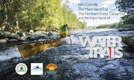
By Traci Lynn Martin
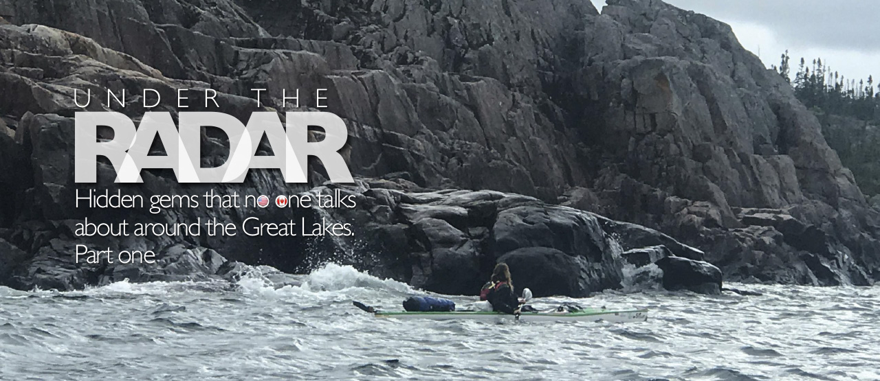
Hidden gems that no one talks about around the Great Lakes. Part one
Under the radar
In 2017 Traci Lynn Martin attempted to become the first person to circumnavigate the five Great Lakes in less than one calendar year, a feat which has been attempted by several, yet never successfully accomplished due to the unpredictability of rough water and dangerous storms, which the Great Lakes are known for. Traci, who struggles with an autoimmune disease, Rheumatoid Arthritis, was paddling to bring awareness to those who battle chronic pain to never give up. Martin paddled further than any other known person attempting this record – 3,592 miles – but was stopped on Lake Ontario by an early winter storm. In 2020 she plans to try it again.
Rooted in the soul of the bi-national Canadian-American midwest region, surrounded by a rich bio-diverse landscape, are five powerful inland seas. The Great Lakes, which includes Superior, Michigan, Huron, Erie, and Ontario Lakes, border much of the Canadian province of Ontario and portions of eight U.S. states. These five Great Lakes provide over 9,500 miles of stunning shoreline – most of which remain rugged and untamed.
Many paddlers have written about their beauty and have described the more popular paddling destinations such as the Apostle Islands and Pictured Rocks. But what about the other amazing places that seem to get overlooked. After having paddled 3,592 miles of their shoreline in 2017, may I suggest areas that are under the radar – hidden gems that are truly dramatic paddling destinations.
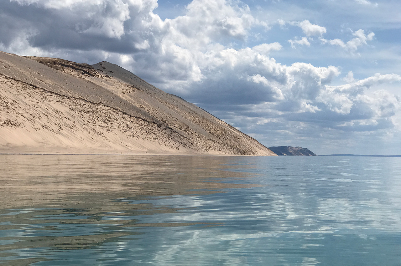
Sleeping Bear Dunes National Lakeshore, Lake Michigan
This sacred place should be on every kayakers bucket list. For me, it was a spiritual experience. The water began as a brilliant turquoise, however, as the sun moved across the sky, the colour changed to the deepest, purest indigo blue. The outline of the rolling sand dunes created a space, both physical, emotional, and spiritual, that touched my soul – the beauty of which is impossible to describe. The spectacular expanse of water, all framed by the pyramid-like shape of the dunes surrounding it, was breathtaking. Enticing 450-foot tall pristine sand dunes lure paddlers to land their kayaks at the base and walk along the shoreline. There is a divine sense of peace and spirituality here.
Off in the distance, across the open water, are the picturesque images of both the North and South Manitou Islands. This area would be an amazing destination for both the novice and experienced paddlers. Day paddles could be achieved from Empire Michigan. Longer, multi-day paddles could be achieved from Leland to Platte River Point. It is worth noting that Leland is a quaint little town, which boasts the last working and thriving commercial fishing districts on the Great Lakes. Historic Fishtown still maintains their weathered fishing shanties, smokehouses, and an interesting collection of fishing vessels inside of the small harbour.
Summer Island, Lake Michigan
Welcome to your very own deserted island to explore. The Island can easily be seen from Fairport, Michigan. You will depart from the Fairport boat ramp and paddle two miles to Little Summer Island. There is not a lot of boat traffic to worry about as you’re crossing the open lake and the water around the island is rather shallow. From there, it’s another two miles to reach the main Summer Island. This is an open water crossing and should only be attempted by experienced kayakers.
The shoreline of the island is mainly rocky, with beautiful cliffs to paddle past, yet there are also a lot of areas with tall grass that grows out into the water. One of the most visible shoreline features is called Gravel Point, there are also several small sandy beaches available to land on as well.
A person can spend several days kayaking between these two islands, exploring the remains of a historic Native American settlement, hiking through the overgrown camps from long ago loggers, and hunting for the abandoned shanties of fishermen. For the truly adventurous, kayak another five miles to Poverty Island. This island is very rocky, however, there is a stretch of sandy beach that faces Summer Island on the east side, and if you kayak towards the southern point, there is a remote Lighthouse that beckons to be explored. If your desire is to spend your days on a deserted island and your nights gazing up at the Milky Way, then this destination is for you.
Government Island, Lake Huron
It’s a good place to go hide if you just want to get away for a few days, yet still remain close to civilization. Government Island is the only public access island of the Les Cheneaux, a group of 36 small islands, along the Lake Huron shoreline on the Upper Peninsula of Michigan, out of Hessel. Les Cheneaux is french for ‘The Channels’ and it feels like a winding maze as you paddle through this 12-mile section of scattered islands.
I found myself paddling this area because Lake Huron was stormy that day, and I did not feel safe in the open water. I was amazed at how well the islands blocked the wind and huge waves. It was a quiet paddle past unique cottages and marsh land. It felt peaceful to paddle past floating lily pads, blue herons standing in the grassy water, bright yellow marsh flowers, and turtles sunning on random logs. I was struck by the large number of antique wooden mahogany and Chris Craft boats that lined the shore of the small quaint cottages.
Of the 36 islands, Government Island is the only one that you will be able to camp on. Its location makes it ideal to set up a base camp and do day paddles. There is a beautiful sandy beach on the west side of the island, as well as designated camping sites with fire rings available to use.
Wilderness State Park and Waugoshance Point, Lake Michigan
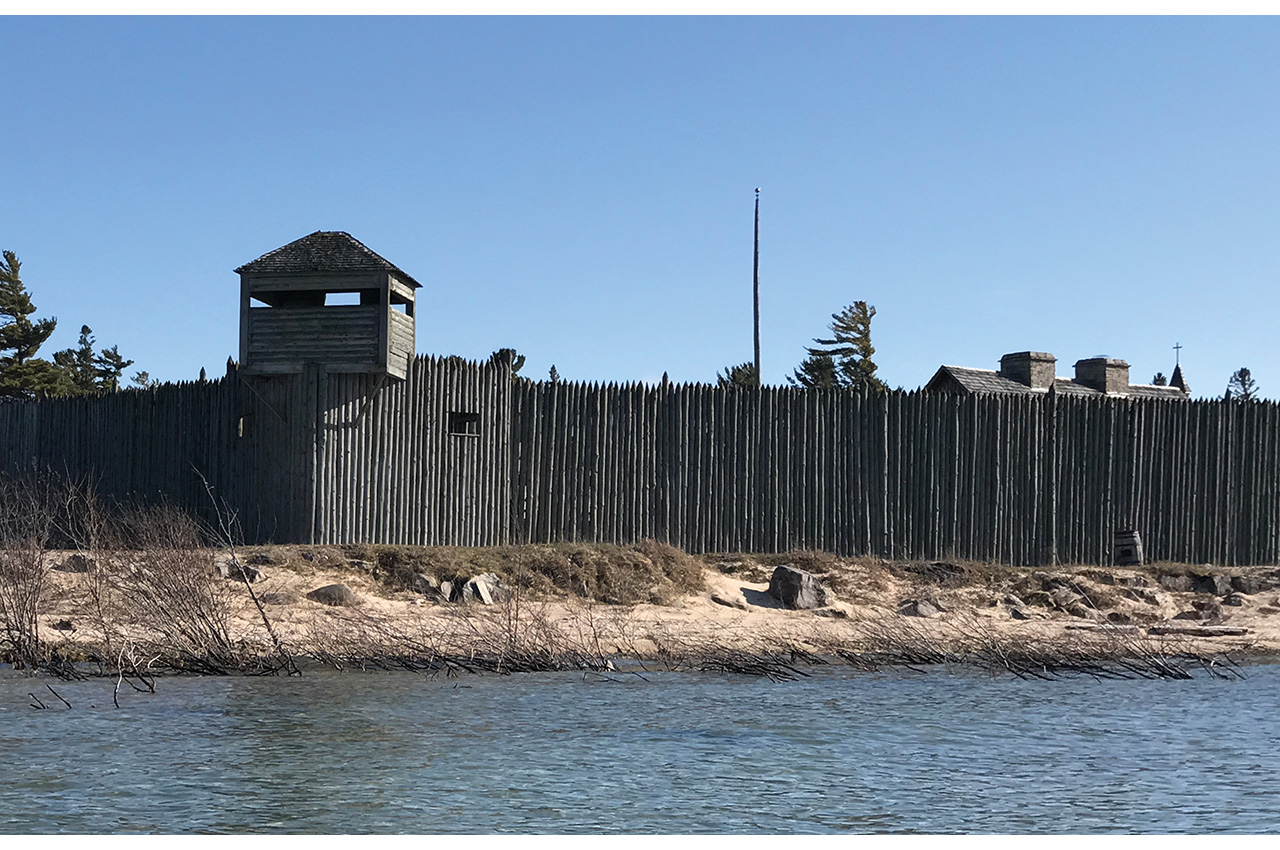
This place is phenomenal. The paddling adventure begins at Wilderness State Park in Carp Lake Michigan, which is located ten miles west of Mackinaw City. This state park is part of a peninsula that shoots out into Lake Michigan, the point of which is called Waugoshance Point. Included in the state park are two large isolated islands: Temperance and Waugoshance. Few people venture past the campgrounds of the state park, which means this entire area is open and wild. Paddle west along the shoreline towards Waugoshance Point. This is an isolated eight-mile paddle into strong headwinds which will test your strength and determination. This is not for novice paddlers.
The optical illusion while paddling will cause you feel like you’re not making any forward progress down the shoreline as you mistake the distant outline of Temperance Island for Waugoshance Point. However, after struggling against the wind for what seems like an eternity, you are abruptly rewarded with the view of Big Cut Canal, which separates Waugoshance Point from the islands. This entire area is surrounded by reefs, shoals, and huge rocks which protrude out of the water.
Fifty yards from the rocky shoreline is crystal clear shallow water with beautiful rocks visibly littering the bottom. In other areas, a strong headwind brought 2-3 foot waves pounding into my bow, making forward progress slow and challenging, however, once I made it to Waugoshance Point, the remoteness and beauty enticed me to remain. The combination of ankle deep shallow water flowing between beautiful rocks scattered between grassy mounds and narrow sandy beaches truly touched my soul. The view from the point, looking out over the untamed Lake Michigan, huge waves breaking in the distance, was commanding and bewitching.
It felt like a wild, undiscovered world along this rocky shoreline – a deep awareness of isolation away from our modern life, a feeling which I cherished. The barren harshness of the terrain and its feeling of reclusiveness is what made it so beautiful to me. If you like feeling as if you’re the last person alive at the end of the world, then this is the perfect spot for you.
My personal recommendation for this paddling adventure…
Day one: Fort Michilimackinac to Wilderness State Park – 15 mile scenic paddle. Camp overnight at Wilderness State Park Campground.
Day two: Wilderness State Park to Waugoshance Point – hard eight-mile remote paddle. Set up a base camp at Waugoshance Point.
Days three and four: explore Temperance and Waugoshance Islands – expect strong winds and rough water. There is also the historic Waugoshance Lighthouse out past Waugoshance Island.

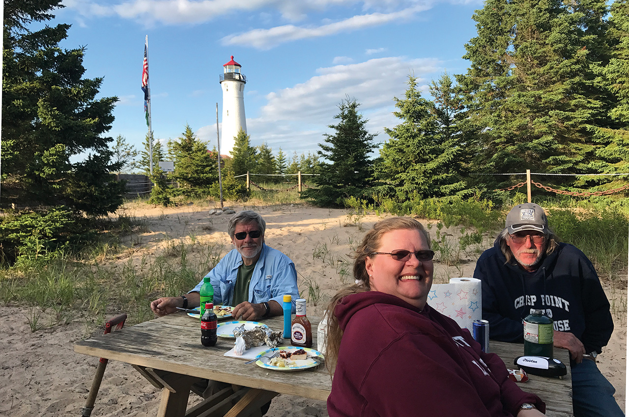
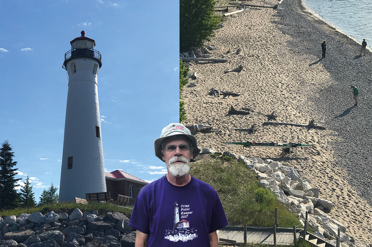
Crisp Point Lighthouse – Lake Superior
Crisp Point Lighthouse is located on the deserted shore of Lake Superior, north of Newberry, about 15 miles from Whitefish Point, in the Upper Peninsula of Michigan. This lighthouse is one of the most inaccessible mainland lighthouses in the Upper Peninsula and can only be reached by taking a narrow country road through the Lake Superior State Forest, or by boat. It has been wonderfully maintained, along with a small park, museum, and visitors centre.
My personal recommendation for this paddling adventure…
Day one: begin from Whitefish Point. Enjoy the Great Lakes Shipwreck Museum then head off from Whitefish Point Beach. Paddle 10 miles to the Vermilion Point Nature Preserve – this is a unique section of sandy beach and grassy flatland to stretch your legs and explore. Camping is not allowed here, but kayakers can remote camp further down on the sandy beach.
Day two: five-mile paddle to Crisp Point Lighthouse
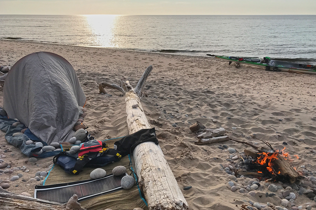
This is your primary destination. Enjoy the beach, tour the beautiful lighthouse, visit the gift shop and nautical museum, or just use a real bathroom. Please bring a few dollars and purchase something at the gift shop, as this money is what keeps the lighthouse open.The lighthouse itself is phenomenal. Of all the lighthouses that I explored around the Great Lakes, Crisp Point is at the top of my list because you are allowed to go to the very top and stand outside on the restored railing. The view is spectacular. Camping is not allowed here, but kayakers can remote camp further down on the sandy beach. The sunsets are magnificent and night time brings the darkest, most star-filled skies you can imagine.
Turtle Island, Lake Erie
This is a unique one-acre deserted island located two miles off the Toledo shoreline. I took the time to paddle out to this solitary island, and spent several hours exploring the old abandoned lighthouse and the wooded interior, where you will find the remains of a house that looked like it had been burned down. It is uncommon because half of it is located in Michigan and the other half is in Ohio. Paddlers can stay overnight and either camp on the small pebbled beach or inside of the lighthouse. For me, this was an interesting day trip.
Pukaskwa National Park and Nimoosh Provincial Park, Lake Superior
Hattie Cove Campground to Michipicoten, Ontario Canada – 125 miles (200 kilometres) of true remote wilderness.
Pukaskwa is the most remote stretch of shoreline of all the Great Lakes. This area is roadless and entirely inaccessible by land. If you have a medical emergency, the only way for the outside world to reach you is by boat. This is not a destination for novice paddlers to attempt alone.
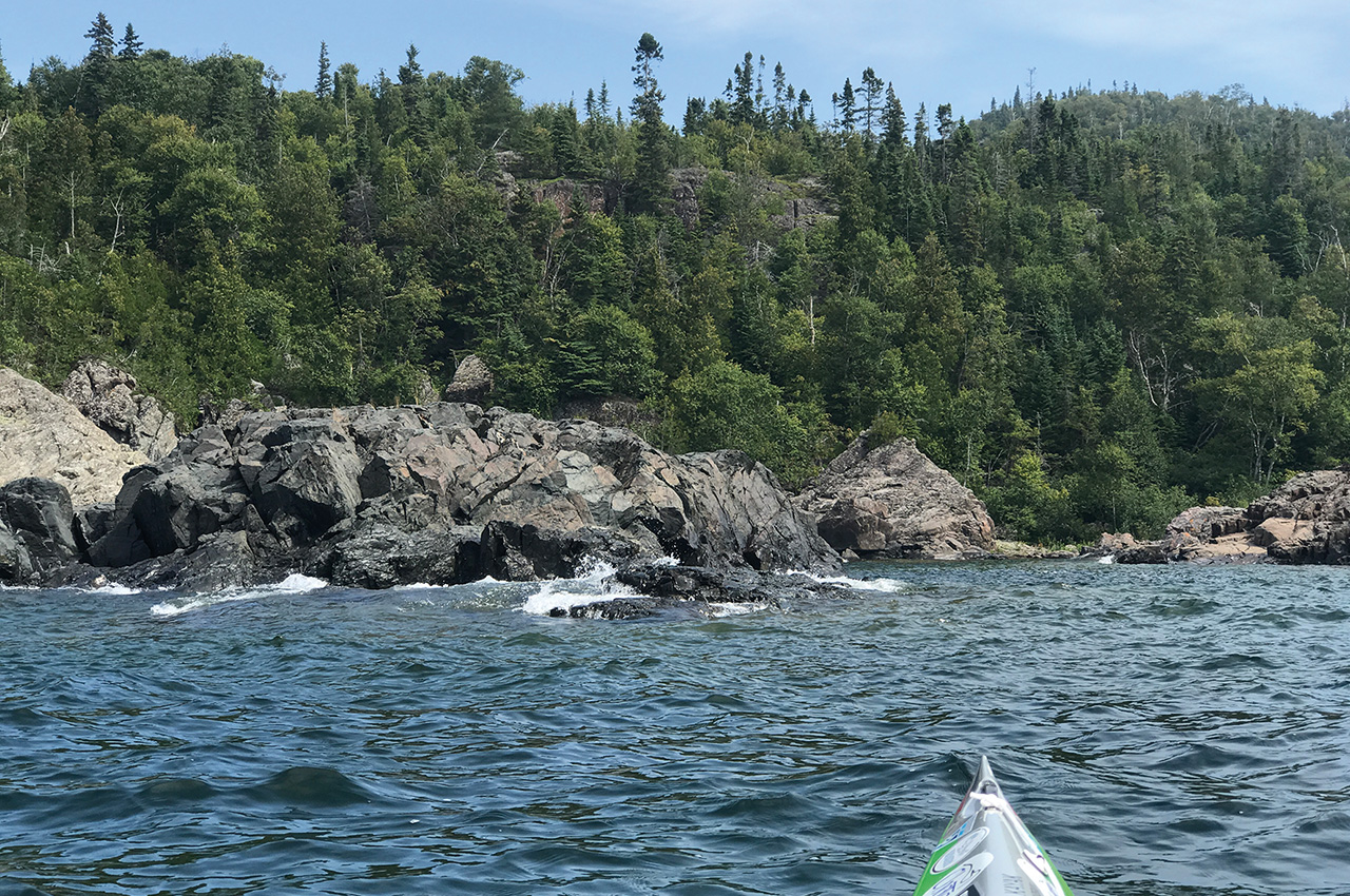
Pukaskwa covers over 84 miles (135 kilometres) of granite beaches, intimidating cliffs, secluded coves, and small rocky islands which are commonly bare of any plant life. Several sections of cliffs can stretch as far as seven miles (twelve kilometres) – giving the paddler few options to land if strong winds and rough water should suddenly approach from the open lake.
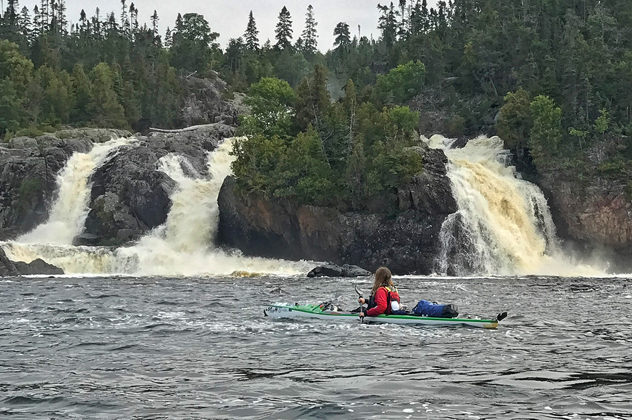
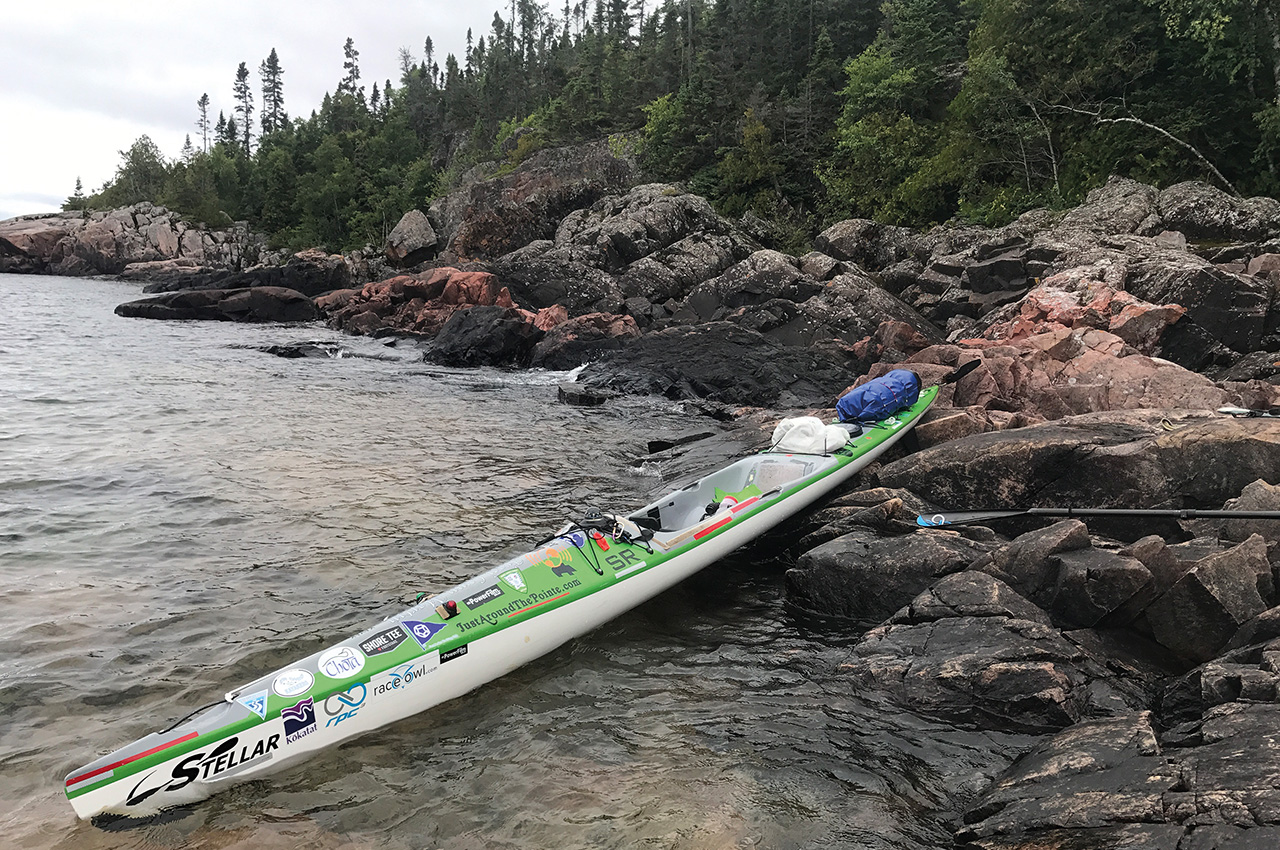
A few small hidden sandy beaches can be discovered tucked between towering cliffs. Expect to discover awe-inspiring waterfalls and amazing open water sunsets. Throughout this stretch of remote wilderness, a person can discover numerous granite islands to camp on. I personally preferred the open granite islands over the dense wooded shoreline.
Intimidating rocks the size of small houses create natural breakwalls against the harsh Lake Superior waves, yet it can also make it challenging to find a place to land. Along other areas, dense old growth forest invade the shoreline right down to the water’s edge, making campsites in these areas impractical. In my opinion, Pukaskwa offers a once in a lifetime true wilderness terrain to explore.
There is very little change in the landscape as you paddle out of Pukaskwa and into the last 41 miles of unorganized Ontario District land and Nimoosh Provincial Park. Outfitters will say that this entire section takes 12 days to complete. I paddled it in five.
Part two in the next issue will include: Hen Island, Twelve-Mile Beach, Sugar-Leaf Cove, Split Rock

Paddling to the Manitou Islands from the mainland is definitely not suitable for novices. It’s a four hour paddle through a busy shipping lane. The Manitou Passage is the shipwreck graveyard of Lake Michigan for good reason – conditions can change very quickly and what was a calm day with 1-2′ foot waves can switch to 6-8′ waves.
Turtle Island is private property and camping is not permitted without permission from the owner.