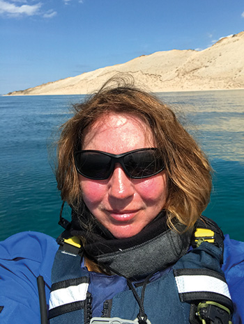
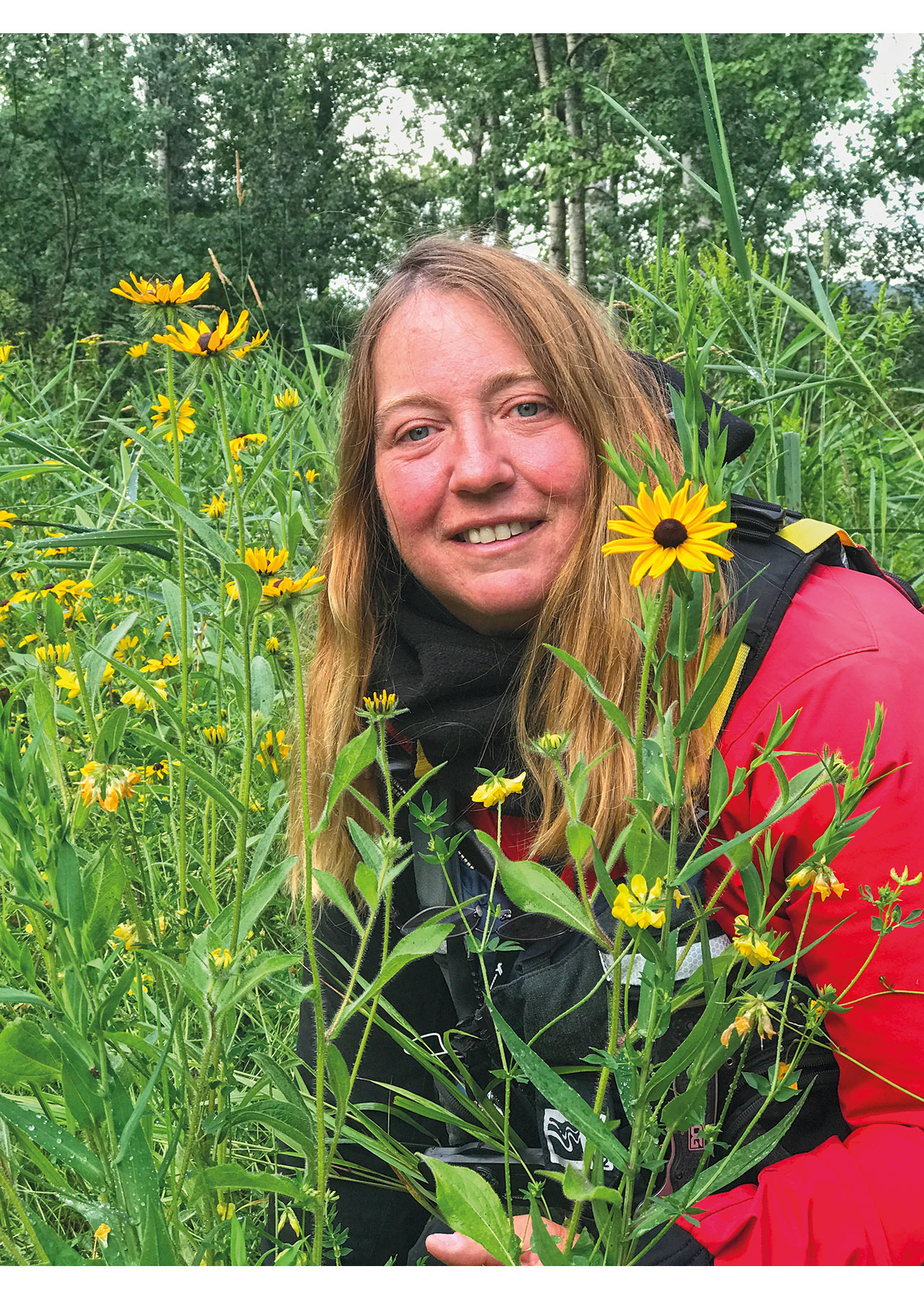
By Traci Lynn Martin
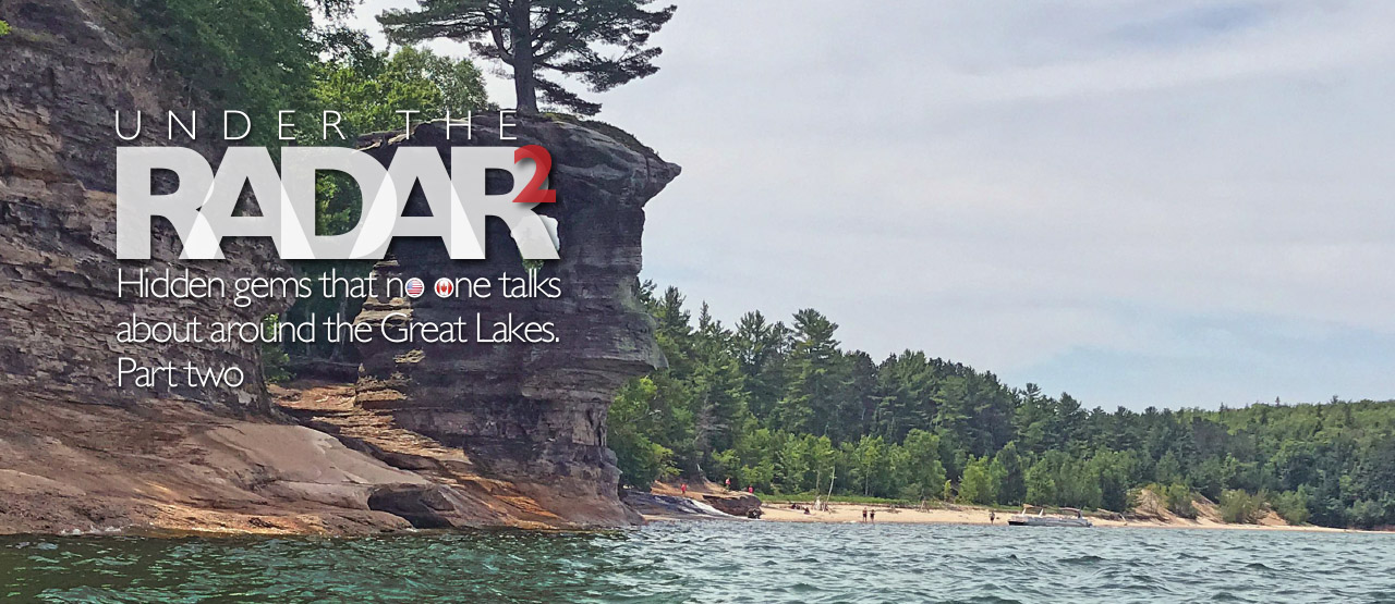
Hidden gems that no one talks about around the Great Lakes. Part two
RESOURCES
For more information about Traci’s 2017 record attempt or her 2020 upcoming expedition, visit her website at: www.justaroundthepointe.com/
Twitter @StellarTourD4ce
Facebook: Justaroundthepointe
Hauling Assets Bill Priesman Contact on (517) 599-7806
Killarney Outfitters Ted East Contact on (705) 287-2828
Under the radar 2
The beauty and splendor of the Great Lakes is intoxicating. From a distance, they seem to be just another large body of water to be paddled, explored, and conquered. But once there, the magic, beauty, and raw power of the lakes are enchanting. There is an aura of majesty, strength, violence, and grace captured in the lakes which changes with the seasons. Without warning, they imprison your soul – your spirit will be forever changed.
During my ten-month expedition in 2017, I was fortunate enough to experience both the volatile power and the peaceful calmness of these inland seas. It can be challenging to explain the allurement – to be gently riding soft waves and listening to the songs of the birds which are your ever present companions, then without warning the wind changes direction and the lake awakens, angry at being disturbed. One-foot gentle waves become six-foot of frenzied agitation in less than 20 minutes.
In part one, I described a few of my favourite locations that I plan to return to. In part two, I would like to share some of my more challenging treasured places, that in my opinion, would make for an amazing multi-day paddling exploration.
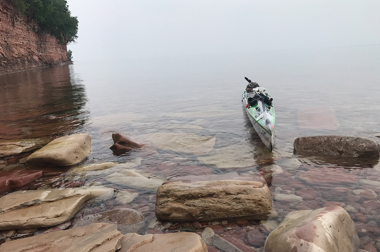
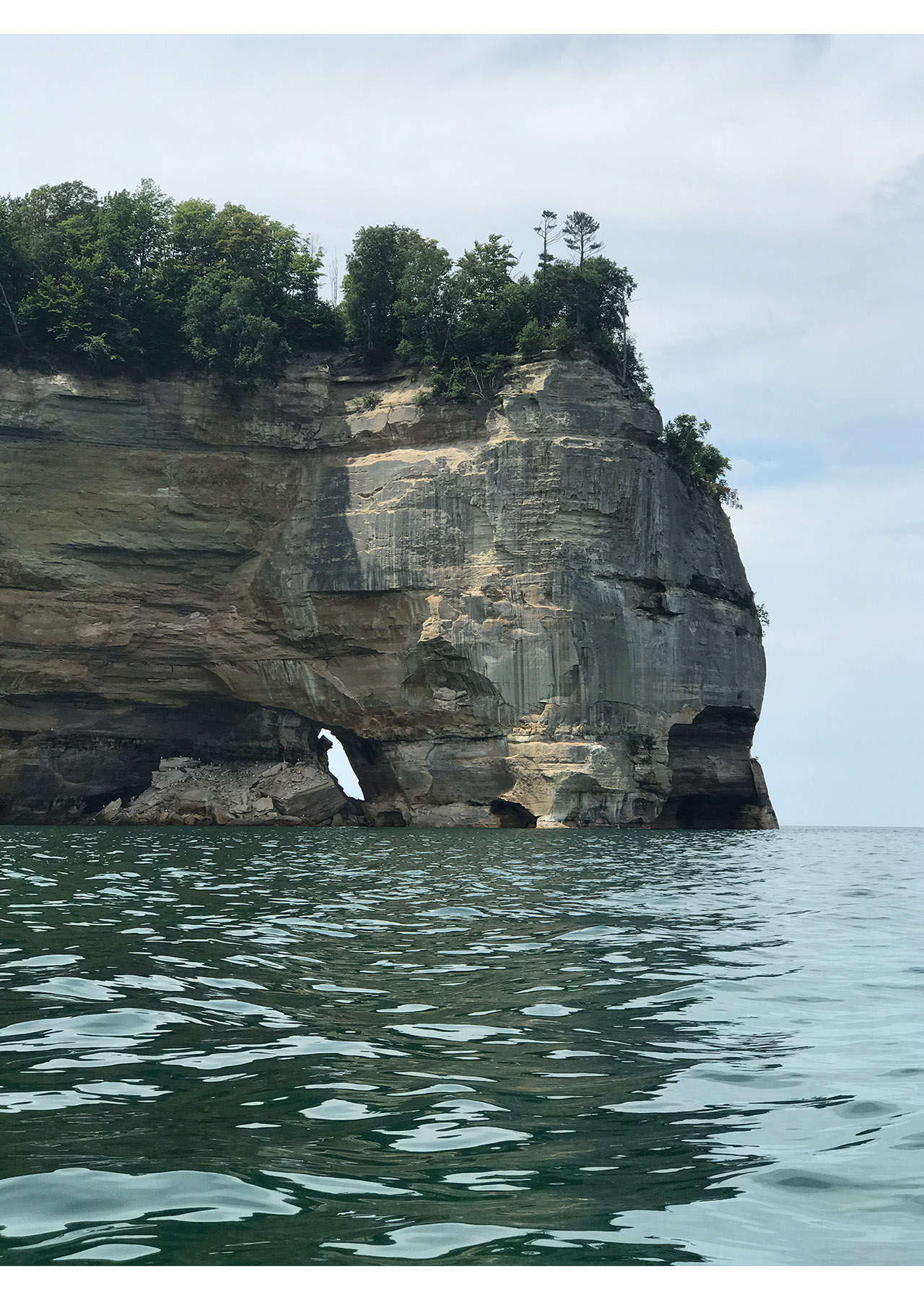
12 Mile Beach – Grand Marais, MI – Lake Superior
12 Mile Beach is part of the Pictured Rocks National Lakeshore, which is located on the south shore of Lake Superior in Michigan’s upper peninsula. This National Lakeshore stretches 42 miles (67 km) from Grand Marais to Munising. Many paddlers have heard of Pictured Rocks, the popular 15 miles of spectacular multicoloured cliffs. However, fewer paddlers are aware of the other fantastic sights seen from the water’s edge: five miles of massive sand dunes (Grand Sable Dunes), a sentinel lighthouse protecting vessels from the rocky cliffs (Au Sable Light Station), rarely visited waterfall (Spray Falls), and 12 miles of beautiful beach coastline.
Grand Marais, a gentle town and the eastern gateway to Pictured Rocks National Lakeshore, is the best place to start your paddling expedition. I stayed one night at the Superior Hotel, an old style boarding house where rooms start at just $40 a night. The decor is fabulous with bygone nautical furnishings and the hosts are truly warmhearted. Other amenities include a microbrewery, a tavern and a restored Paramount diner. The town has four unique museums, all with a special focus. The Gitche Gumee Agate Museum showcases the area’s rich geology and the Lightkeeper’s House takes one back in time to the turn of the 20th century. Paddlers will also find a valuable outfitter’s store in town.
After leaving the harbour of Grand Marais, you will paddle a short three miles before reaching the impressive Grand Sable Dunes. These dunes tower 300 feet above the lake and are powerful to paddle beside. They are one of the best examples of a perched dune system in the world. Perched dunes are those that form on top of an already existing coastal bluff.
One and a half miles past the dunes is Au Sable Light Station. I didn’t stop at the Lightstation, but my understanding is that you can pull off and tour the grounds. Built in 1884, it’s on the National Register of Historic Places and remains a working lighthouse.
Two miles past the light station begins 12 Mile Beach, a gorgeous shoreline, which felt like I was paddling along a remote tropical seashore. Depending on where you land, it’s primarily sandy, but as you get closer to Pictured Rocks, you begin to discover beautiful pebbles of all colours. At night the Milky Way shines down across the open lake. There is nothing better than falling asleep to the sound of the rolling waves of Lake Superior.
The mornings bring beautiful pink sunrises with low hanging fog drifting across the open water. The solitude was peaceful.
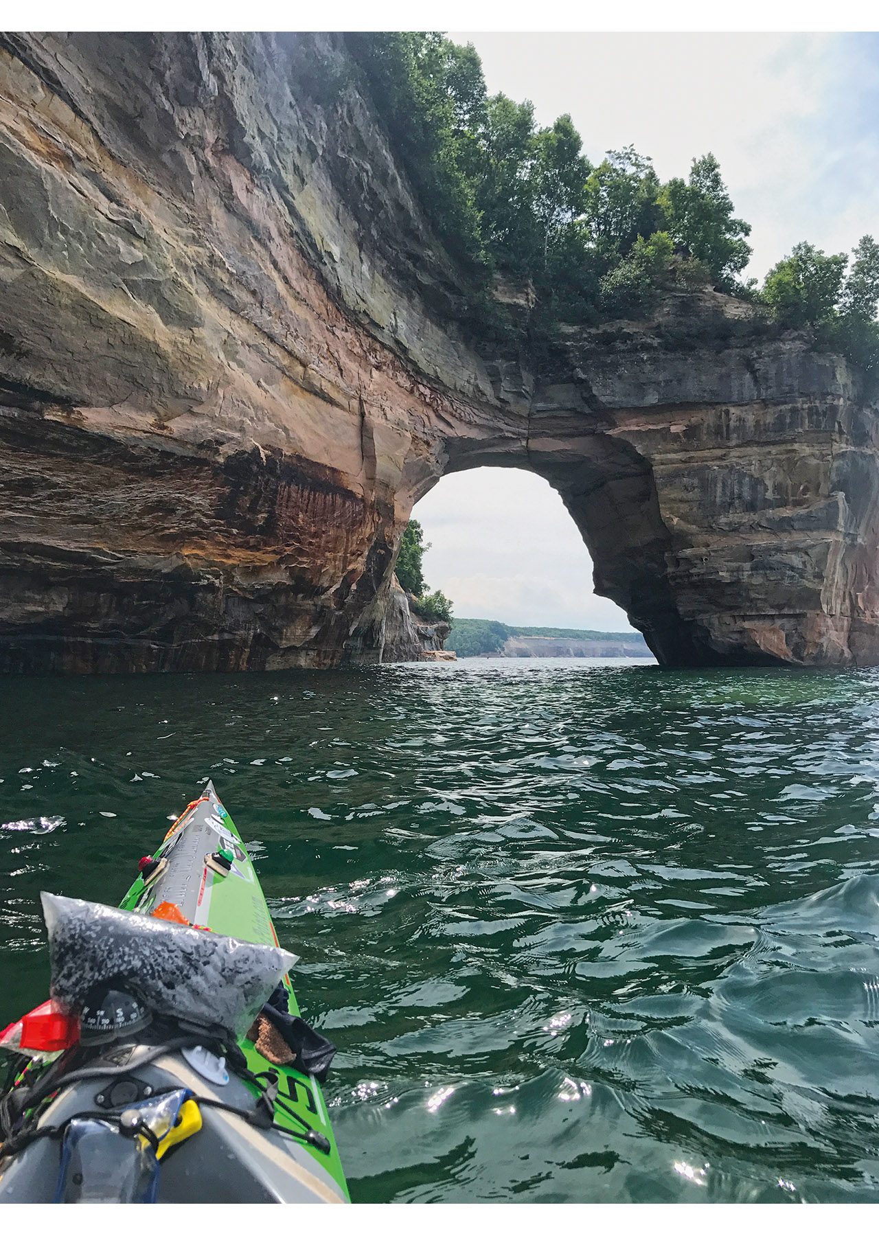
Once past 12 Mile Beach, the landscape begins to get more rocky with small sea caves and waterfalls – the largest being Spray Falls. A few miles past this area, you will begin to paddle into the more popular area of Pictured Rocks, which are amazing in foggy conditions and mesmerizing in bright sunlight. Miners Beach is a good take out spot.
Words of caution: the weather can be unpredictable. Fog often drifts in from off the lake, even when the sun is shining, which leaves an eerie orb shimmering through the misty sky.
Be prepared to paddle in fog so thick that it’s hard to see much past the end of your kayak.
This area is notorious for swarms of biting flies (Stable Fly), which are blood feeders. As long as you’re wearing a drysuit, you’re protected, but they can easily bite through camp clothes. This adventure must be done wearing a drysuit, or else you will lose your mind. Bug spray will do nothing to deter the flies. Be careful to protect your head. They took chunks out of the top of my head, which left bleeding sores that took a month to heal.
There’s a lot to view and discover along this scenic shoreline. For me, the flies did not detract from the allure of the area. My personal recommendation – a short 35-mile paddle, pulling out at Miners Beach or a Longer 55-mile paddle to AuTrain beach. Bill Priesman, a local man from Grand Marais, who owns Hauling Assets, will pick you up and transport you back to your car.
Taconite Harbor to Split Rock State Park – North Shore of Lake Superior
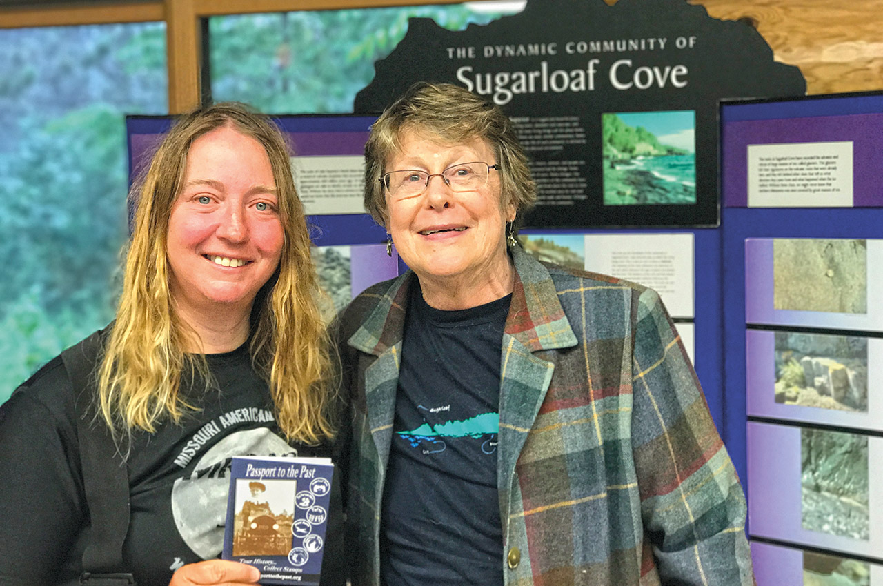
If time is limited, yet you want to enjoy the natural beauty and drama that the north shore of Lake Superior has to offer, then this is your destination. It’s a 35-mile (56 km) paddle that begins at Taconite Harbor in Schroeder, Minnesota. The old loading dock and railroad facilities at Taconite Harbour is impressive to paddle past. I made the time to stop at the Sugarloaf Nature Center.
The knowledge gained was well worth the time spent hiking the woodland trails and discussing its history with the curator. The shoreline itself varies from wooden boreal forest to beaches composed of ages past basalt lava flows and extremely hard volcanic rock. Dark rocks are covered with orange lichen, which looks like fields of pumpkins from a distance. The landscape ranges from black boulders, to Vesicular Basalt and black-white rocks with visible crystals, to a smooth black glassy shoreline. Split Rock Lighthouse is 54-foot tall and rests on top of cliffs that rise 130 feet above the lake. The view from atop this lighthouse is priceless.

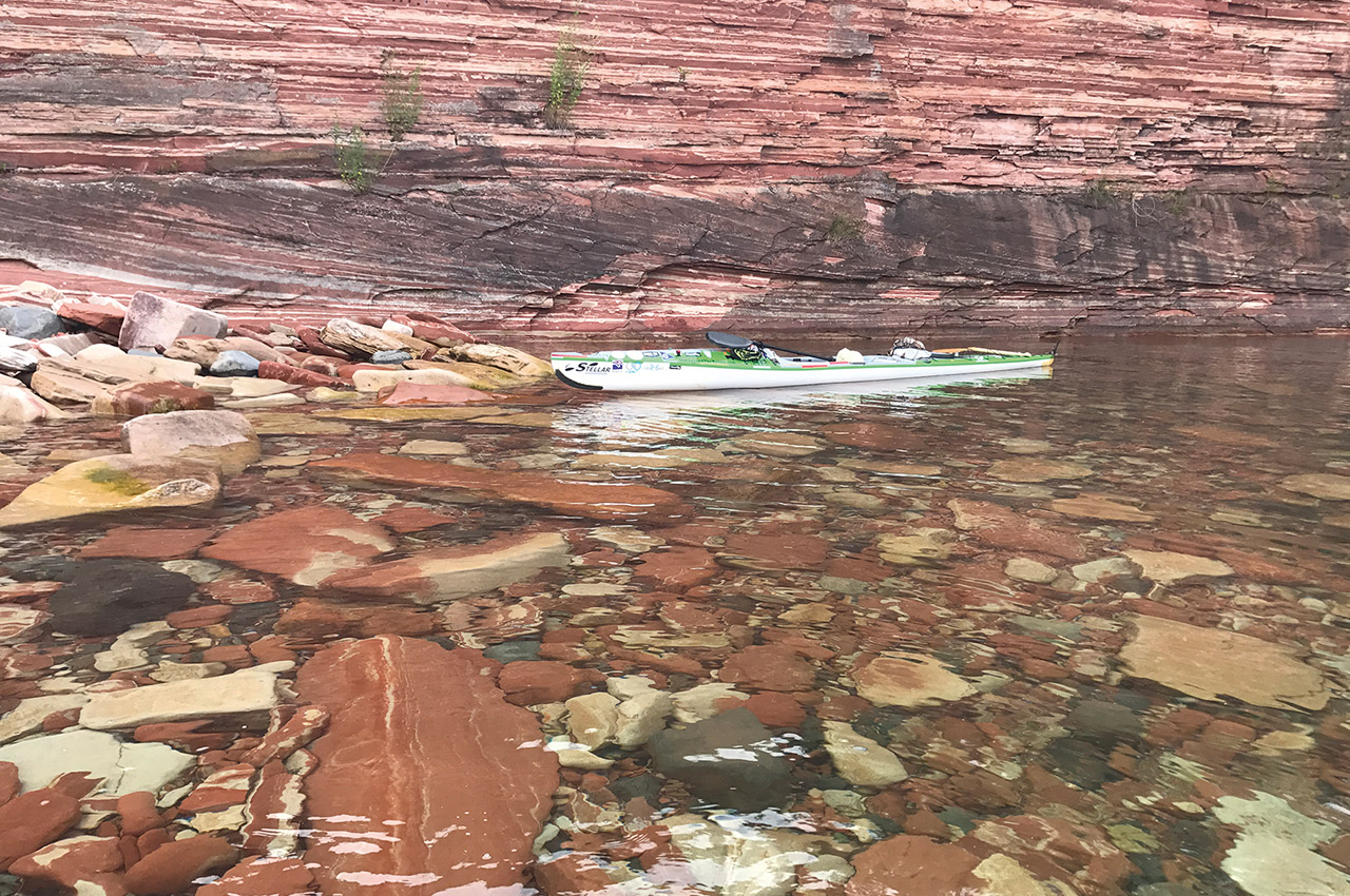
Keweenaw Peninsula – Lake Superior
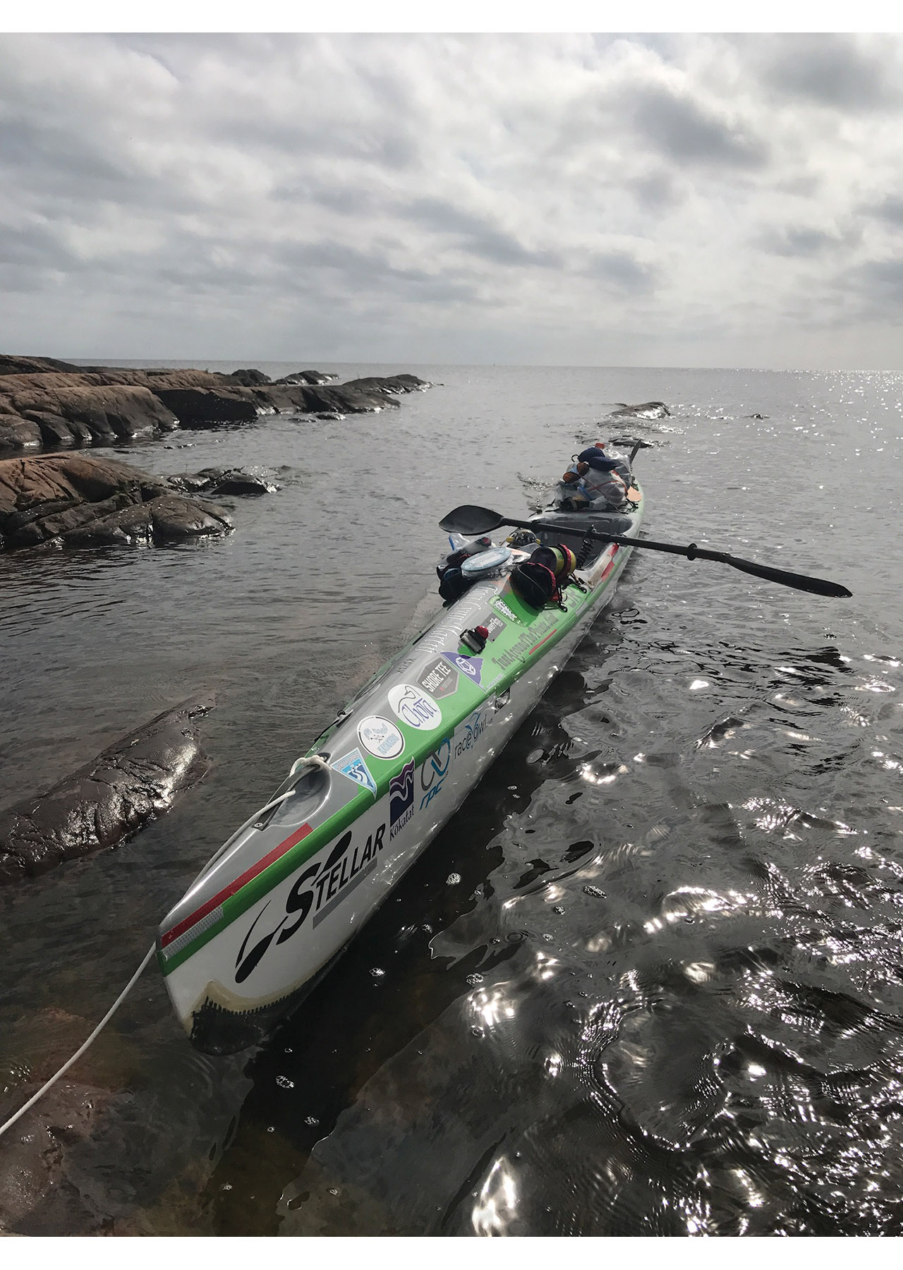
The Keweenaw Peninsula is the northernmost part of Michigan’s Upper Peninsula and is commonly referred to as ‘copper country’. This paddling destination will dazzle you with miles of rocky cliffs where you can explore a chain of barrier islands, paddle under rocky archways, explore remote sea caves and unique rock formations such as sea stacks, paddle past remote waterfalls and untamed wilderness.
Many kayakers consider this area a hidden gem and a world-class sea kayaking destination. The cliffs that I paddled past on the eastern side of the peninsula were the most beautiful brilliant orange that I have ever seen in my life; it even rivalled Pictured Rocks with its stunning symmetry and colours. The amazing attribute of this paddling adventure is that you can paddle a complete loop around the peninsula via Portage Lake.
This entire 135-mile (217 km) loop is very challenging due to the erratic fierce waves and forceful winds of Lake Superior. Its remote location, rocky shoreline with few places to safely land and potential for dangerous weather makes this destination appropriate for only experienced kayakers whom are comfortable with rough water or rock gardening.
Killarney to Hen Island, Georgian Bay – Lake Huron
Georgian Bay is located in Ontario, Canada – a 5,792 square mile bay of Lake Huron. It contains over 30,000 islands, and is commonly referred to as the Sixth Great Lake by those who live around its massive 1,240 miles (1,996 km) of granite shoreline.
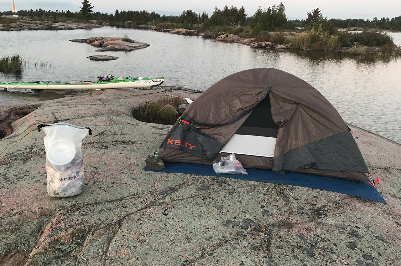
The eastern shoreline of Georgian Bay has been argued by many as being the best freshwater archipelago sea kayaking area in the world. It is a mesmerizing maze of thousands of islands, some so small there is barely room to land your kayak and pitch your tent, while others are large enough to hide their own fresh water lakes – yet all have the characteristic smooth granite shoreline.
A few of these islands are bare of any vegetation, and I imagined that I had landed on the back of some ancient sea turtle. Many of the islands contain scattered white pine trees, small pools filled with warm water, spectacular glacial grooves and striations, a variety of butterflies and water fowl, and small purple flowers growing up between the rocks. The entire area is entrancing with its raw pristine expanse of wilderness.
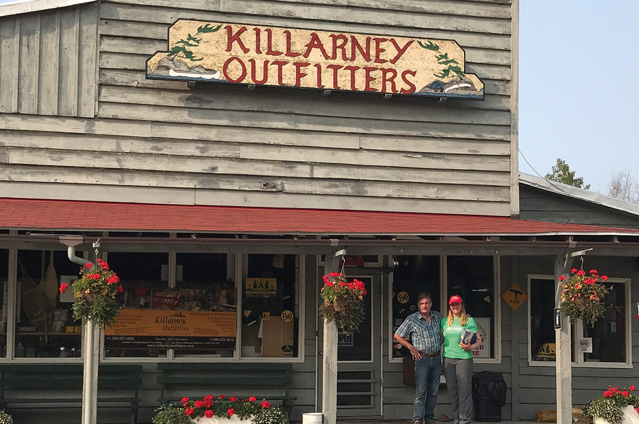
Killarney, Ontario Canada is where this paddling adventure begins. Canoes or kayaks can be rented from Killarney Outfitters, as well as having shuttle services. Owner Ted East took time out of his busy day to go over my charts and pointed out areas that I needed to be aware of as I paddled through this remote wilderness.
When you leave Killarney, begin paddling northeast. Approximately six miles into your paddle, you will need to make a decision on the route. Less experienced paddlers should take Collins Inlet, a passage between the mainland and the north shoreline of Phillip Edward Island, which bypasses the unpredictable open waters of Georgian Bay. Experienced paddlers can challenge themselves by paddling on the unprotected south shoreline of the Island.
Collins Inlet was the route that I took in 2017 due to the strong winds that were causing havoc along the open water shoreline. This passage is 13 miles through a wooded landscape, coming out at Beaverstone Bay. From there, head south for six miles to reach the Chickens.
The Chickens is comprised of hundreds of small granite islands strewn together over a distance of one and a half miles. It was enjoyable to paddle through this labyrinth – stopping to pick up random pieces of driftwood so that I could enjoy a small fire in the evening.
Hen Island is the largest island in this maze and it lies on the eastern side of the Chickens. It has a natural harbour, which includes a sandy beach, making this spot ideal for swimming. It has numerous large rocks to climb and explore. In the distance, I could see the La Cloche mountain range. All around the island, the haunting call of the loons could be heard across the lake.
Two miles east of Hen Island is an area called Point Grondine. If you reach this area, be careful. There is a shallow shelf, two miles long, that extends out towards the open lake for four miles. If a southwest or southeast wind is blowing towards this point, as the water hits this shallow shelf, the waves quickly build into an anomaly, growing three times the predicted size. Monitor the Canadian Marine Forecast on your weather radio, which is extremely accurate for 36 hours out. If they predict an average wave height in Georgian Bay of 3-4 feet (one-metre), then Point Grondine will be 12 feet (3.6 metres). If solitude and open space are what you’re seeking, you’ll find them in abundance on this destination.
Be advised that this trip involves long stretches of open water so paddlers should be comfortable with three-foot (one-metre) waves and strong winds.