
By Dimitri Vandepoele
PHOTOS:
DIMITRI & SYLVIE VANDEPOELE,
NORTHSEAKAYAK
https://www.youtube.com/
user/Northseakayak

Ile de Bréhat
So here it comes, the third time we have been travelling to Ile de Bréhat (Bréhat Island) in Bretagne, France! This is the third time and probably not the last time since this area has a particular attraction to us.
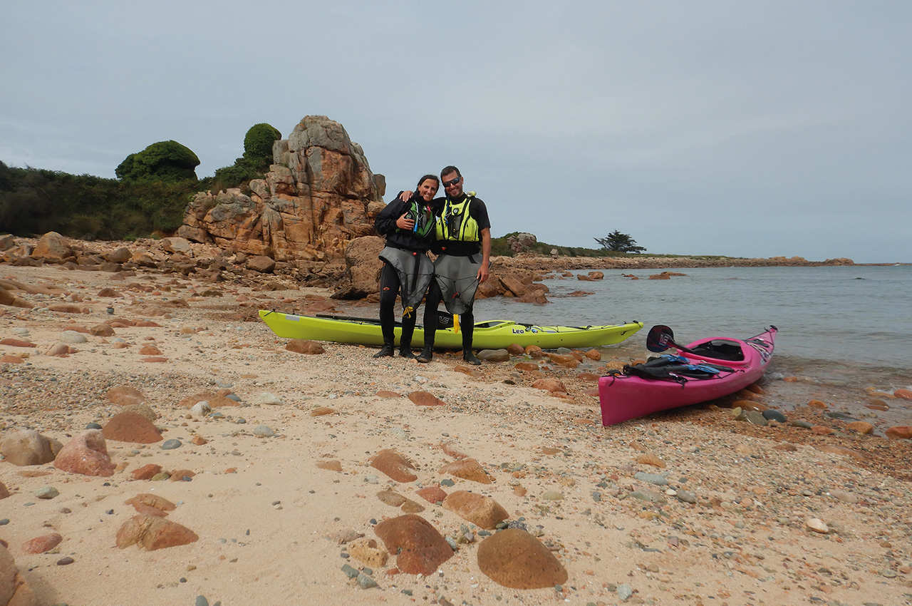
It’s so different from where we live, and we are mostly in for the rock gardening! From where we live, it’s a full day of car travel (about 750 km). But there is nothing to worry about as the trip is already worth the while. This time, besides the two of us, teammate Hugo joined in. As we like to travel light, we mean that we want our kayaks light to play around as much as possible; we rented a cute, small house near the ocean. It has the meaningful name ‘La Petite Maison du Coin de Loguivy de la Mer’ or ‘The Little House on the Corner of Loguivy de la Mer’. Loguivy de la Mer is the small village where we stayed and where we launched every day. Also, a benefit is that we could walk our boats from our stay to the launch point.
The plan
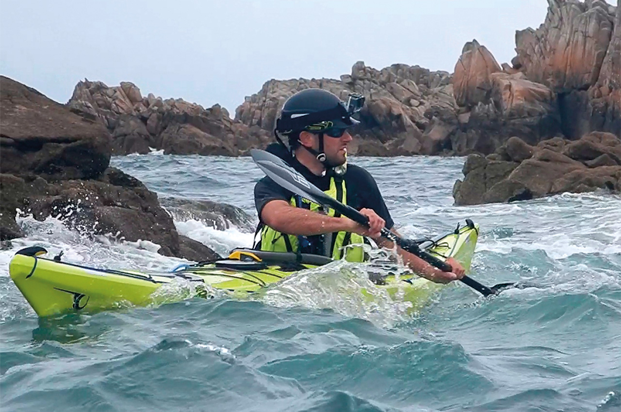
Since we were already familiar with the area there (although we were still discovering new things), we had a plan. We wanted three things: First of all, a paddle to Les Héaux lighthouse. That’s a distinctive landmark on a rock formation some 4 km offshore. The current there is relentless, but with good planning, it isn’t a problem at all to reach it and get back. Secondly, we wanted to circumnavigate the island itself, and lastly, we wanted to do rock gardening and rescue training explicitly aimed at this environment. Let’s try to tick all of these boxes!
For the record, it was around neap tide (and even then, a force to be reckoned with). The wind was blowing constantly from the W to WSW, and always between force 4 to 5.
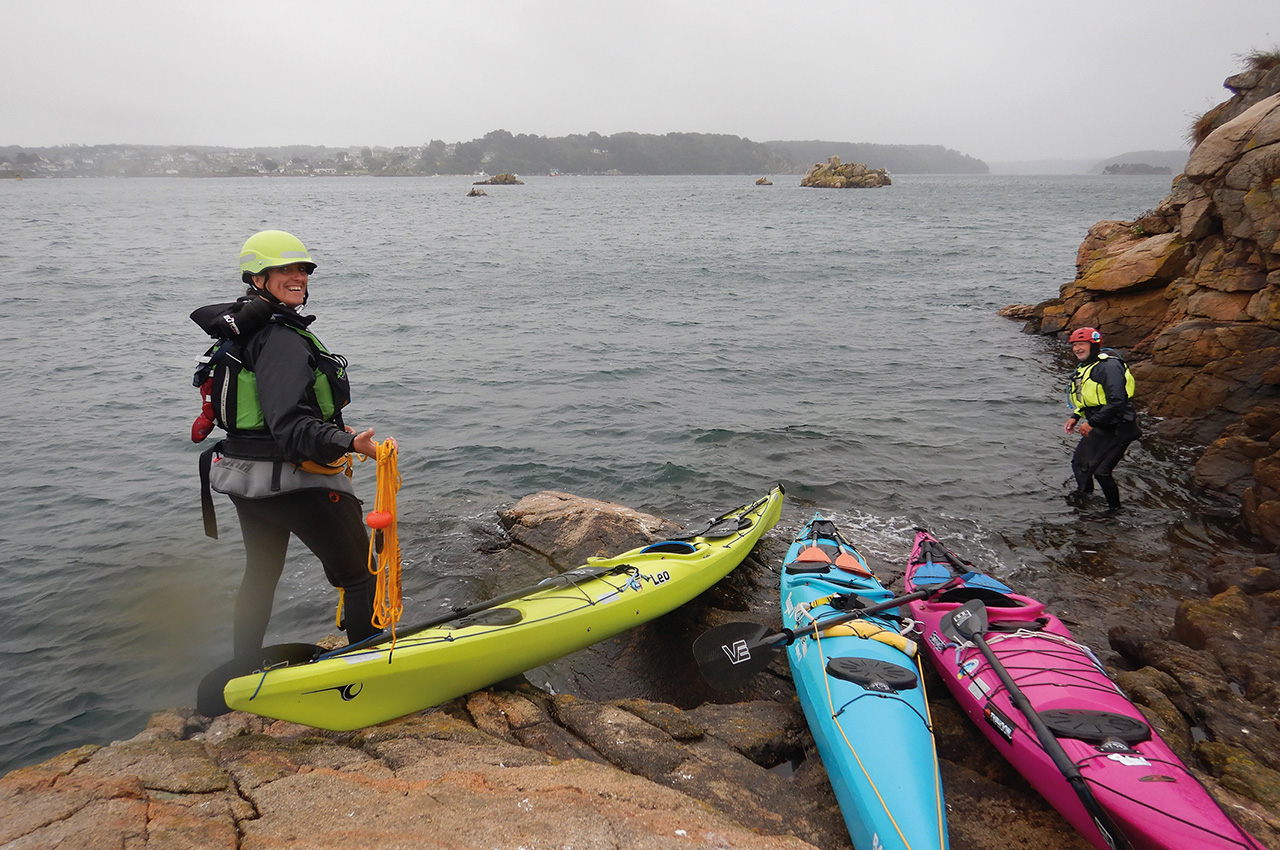
Day 1
After checking the weather and tides, we walked down to the beach. Double-checking all of this isn’t a luxury when paddling in that area, as we don’t want any unpleasant surprises, such as paddling against the tide. The tidal stream along Les Héaux is relentless, as is the North side of Bréhat island itself. We started sheltered from Loguivy de la Mer beach and made our way through the East side of the fairway. This means we could ‘leap’ from one rock formation to another, which is way more fun than just following the buoyage.
We went to Sillon de Talbert, a long (about 3 km) and very thin headland. This is a protected nature reserve and, for us, the last piece of land we pass before aiming for Les Héaux. Once we passed Sillon de Talbert, we felt a little ocean swell, meaning that we were not sheltered anymore, not from wind, not from tide.
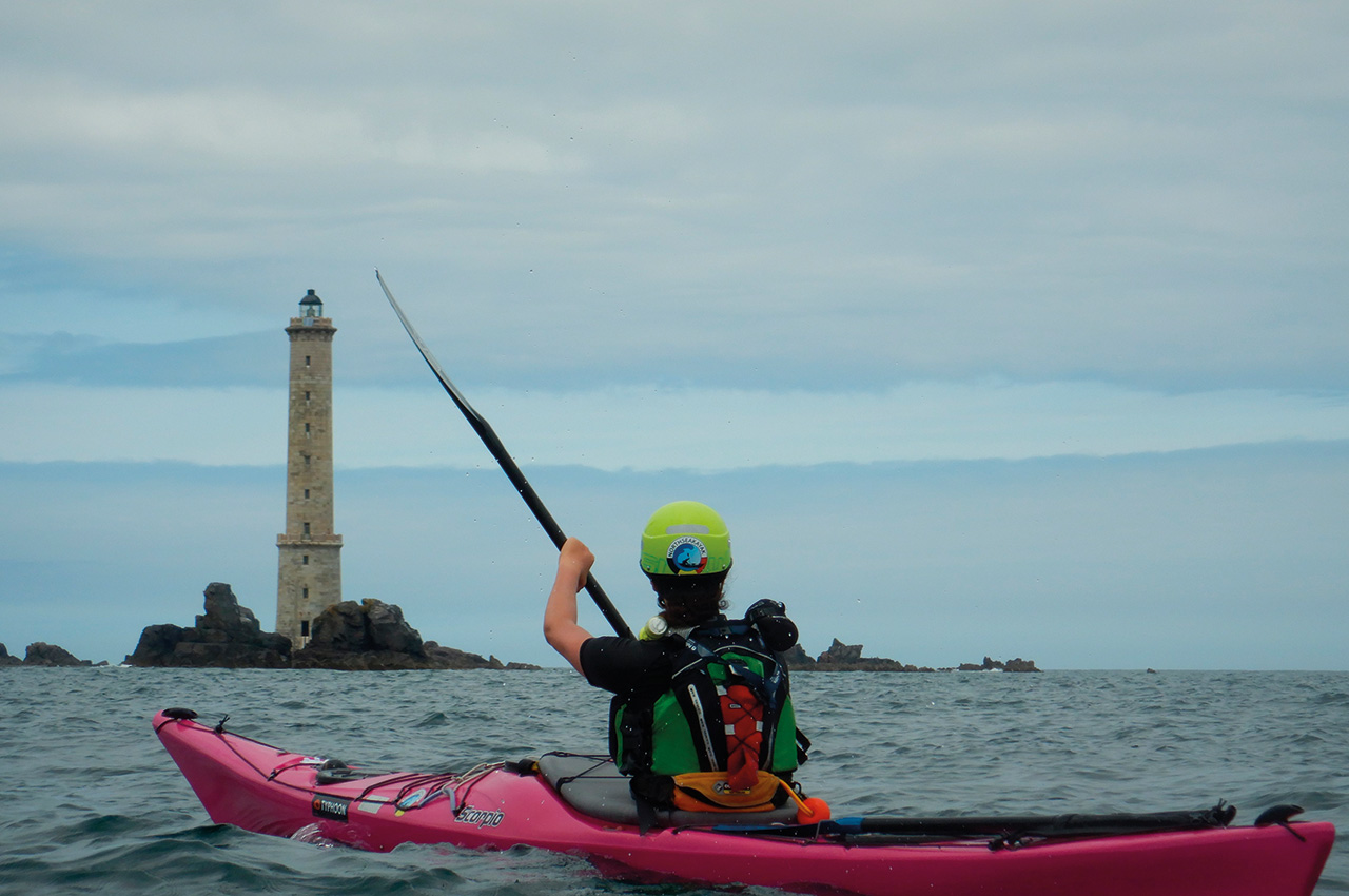
Paddling to Les Héaux was easy for us, as we are used to navigating to buoys on the North Sea, which are even more remote, smaller targets and affected by a sideways tidal stream. We aimed well and didn’t need much compensation.
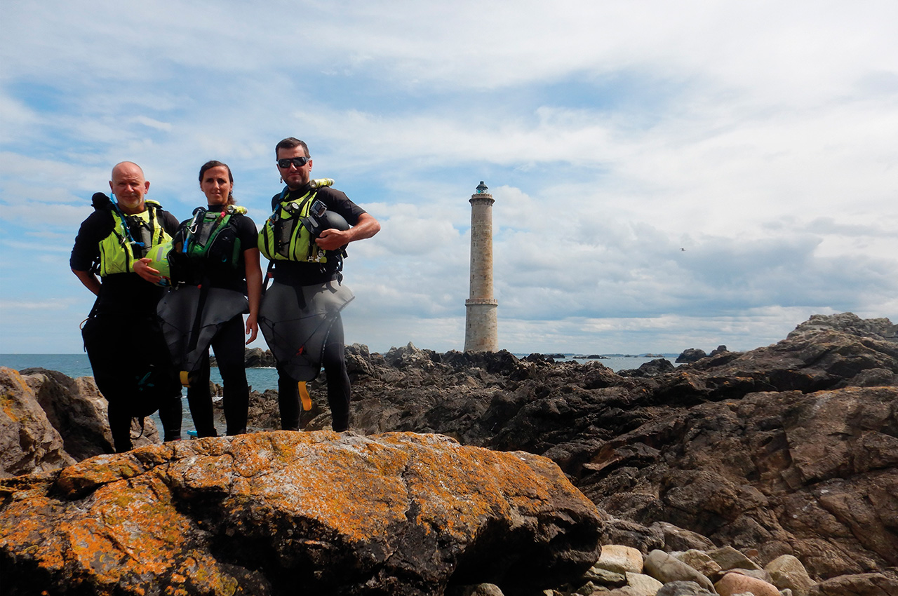
Timing is everything. The majestic lighthouse came close relatively fast, and before we knew it, we were paddling around the rock formations that formed the lighthouse’s base. The last time we were here, years ago, we couldn’t land on them due to circumstances.
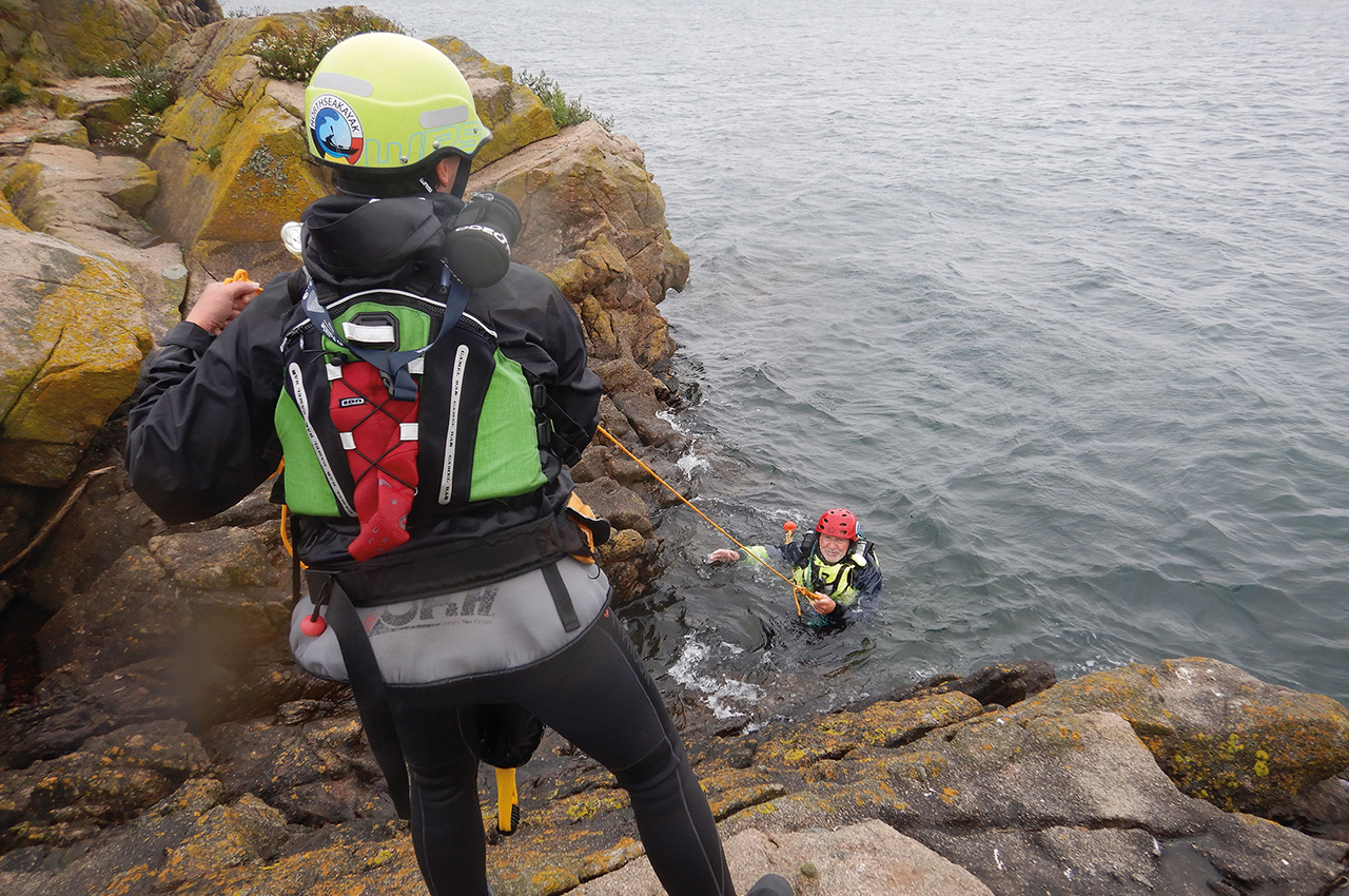
The plan was to search for a safe place to land and visit the ruins next to the lighthouse. Even before we could do this, we had an unwanted incident! Sylvie loved rock hopping a bit too much, and she was swept with her boat onto the rocks. Only minor scratches (hence why we wear helmets close to rocks), a wet exit and some well-trained incident management later, we found ourselves back in business.
There’s also a pointer to our frequent rescue and safety training. The sea is always unpredictable, and the only way to avoid these things is to not go rock-hopping. But since we’re not so much into pétanque, we accept the risk that comes with that and make sure that we are trained and prepared.
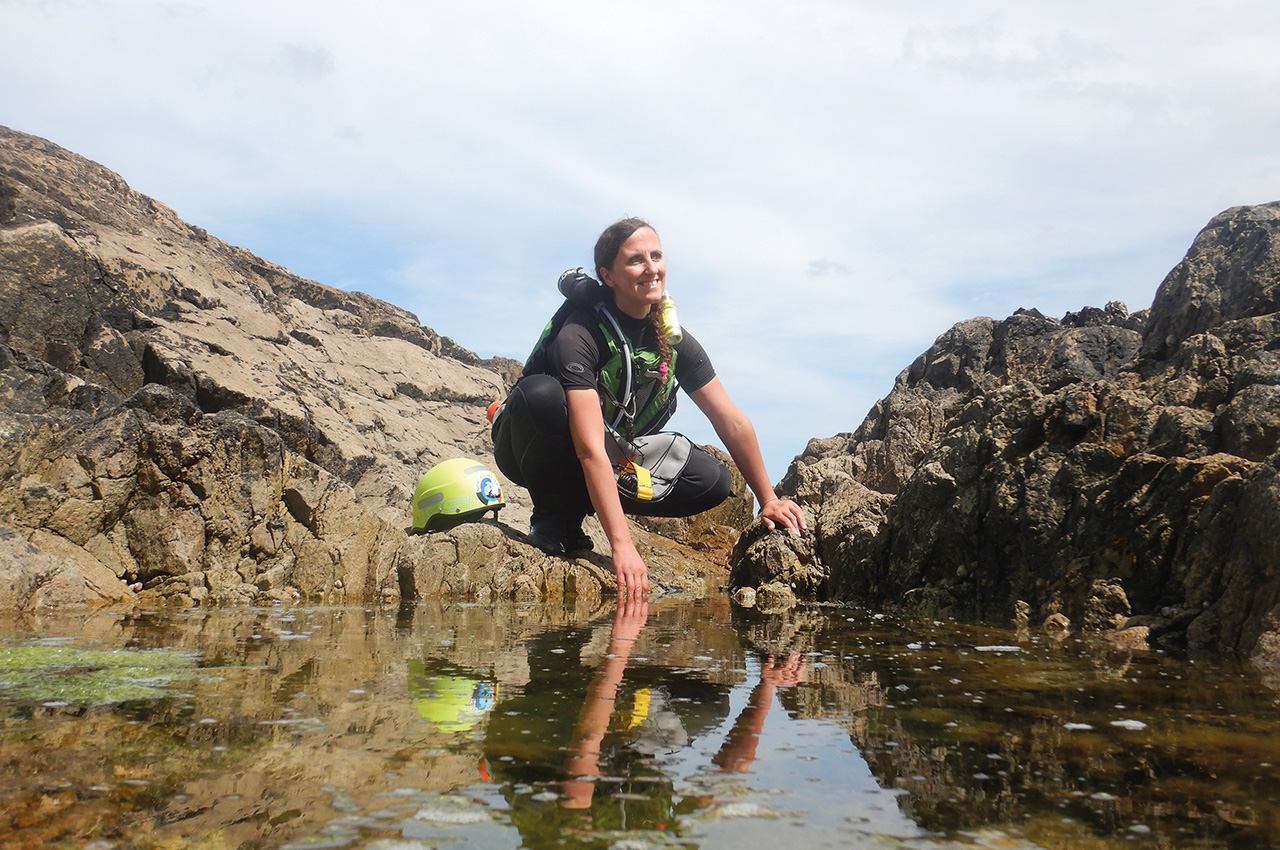
So, back in the saddle, and maybe ten minutes later, we found the perfect landing spot. It is perfect to have a lunch break and a visit. The ruins are the last remnants of the worker’s quarters that built the lighthouse between 1834 and 1840. Looking up some history taught us that these small ruins housed about 60 workers at the same time. There were very tight sleeping quarters (only for 30 persons) with hammocks on two levels, a small kitchen, a shop, and no toilets. It’s almost impossible to imagine what it was like back then, when the conditions were so terrible!
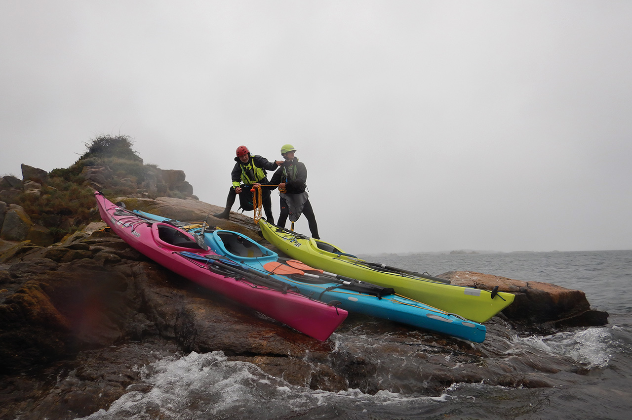
La Croix lighthouse
After exploring the ruins, we did rescue exercises with the tow line along the rock formations. When we were cooled down enough, we went back. We choose an alternate route to avoid doing the same thing twice. We targeted Ile Modez on the east side of Bréhat and then went on to the distinctive La Croix lighthouse back in the bay.
This lighthouse was also built on a rock formation. You probably hear it coming. Yes, we also needed to climb on this, just for the fun of jumping back off in the azure-coloured water to be rescued by the others. ‘Just touring’ is nothing for us, therefore we have too much energy! We’re like dogs chasing cars! We see something; we must get on it, paddle in between it, or paddle over it! End of day 1 when setting back foot on Loguivy beach! Planned items 1 and 3 ticked off!
Day 2
This is the main dish; Ile de Bréhat! We always aim to do this around high tide, allowing us to explore and do rock gardening. On low tide, there needs to be more water to do our stuff. The entry and exit point, again Loguivy de la Mer beach, is the only thing that stays the same. It was a completely different trajectory from launch to end than the first day.
We decided to circumnavigate the main island clockwise. We crossed from the mainland to Bréhat, using the rock formations in between to shelter from the tidal stream that runs strongly through the bay. Once touching Ile de Bréhat, we’re handrailing up north. We are probably using double the time as we would just ‘touring’; we go into every gap between every rock and sometimes even more than once. The more we paddled to the north of the island, the more exposed and the more interesting it became.
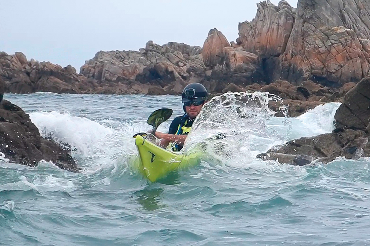
More waves, stronger tides, and a more rugged coastline. We’re reaching Paon (lighthouse) up north, and we know things are at their best there, at least if you’re up for some action. A few tide races are running there, in between rock formations. All are very manageable, but not for the lost tourist. Ile-ar-Morbic and Raguénès-Meur provide some more rock gardening along the western side of Ile de Bréhat. You can choose to go through the bay, which is more sheltered or stay at the outskirts with some more tidal movement and wave interaction.
Interaction is what we are here for, so we stayed outside. Once back on the southern side, one must look for fast shipping. There can be a lot of movement from tourist boats and the ferry between the island and the mainland. From there, it’s ferry gliding back to Loguivy. Loguivy has a small harbour, and what meets the eye is the all-weather lifeboat that lies in front of the entrance. Items 2 and 3 ticked off!
")

Day 3
We decided to stay on land for one of four days to do some recon and enjoy the scenery. Besides the local walk around eating pancakes in local pubs (sorry, they are called ‘crepes’. Don’t dare to ask for pancakes), we were in for more luck! We didn’t know until we arrived at Loguivy that the local lifeboat station was holding an event where the lifeboat we had seen earlier was docked and open for visitors.
We could not let this opportunity slip away! Years ago, we already visited the RNLI Lifeboat Station in Dungeness, United Kingdom. It was time to visit a French station and see how things worked there. We arrived at the event. Luckily, it was not overcrowded, and after queuing, we could enter the lifeboat itself. In four steps, we were enlightened on the life and work onboard.
All started on the aft deck with a general explanation of how the organisation works; we made our way through the cabin while demonstrations were given on the water with life rafts. The explanations were pragmatic, teaching us about the crew and their specific tasks, equipment, etc. We could exit via the engine room back to the upper deck. This was a bonus!
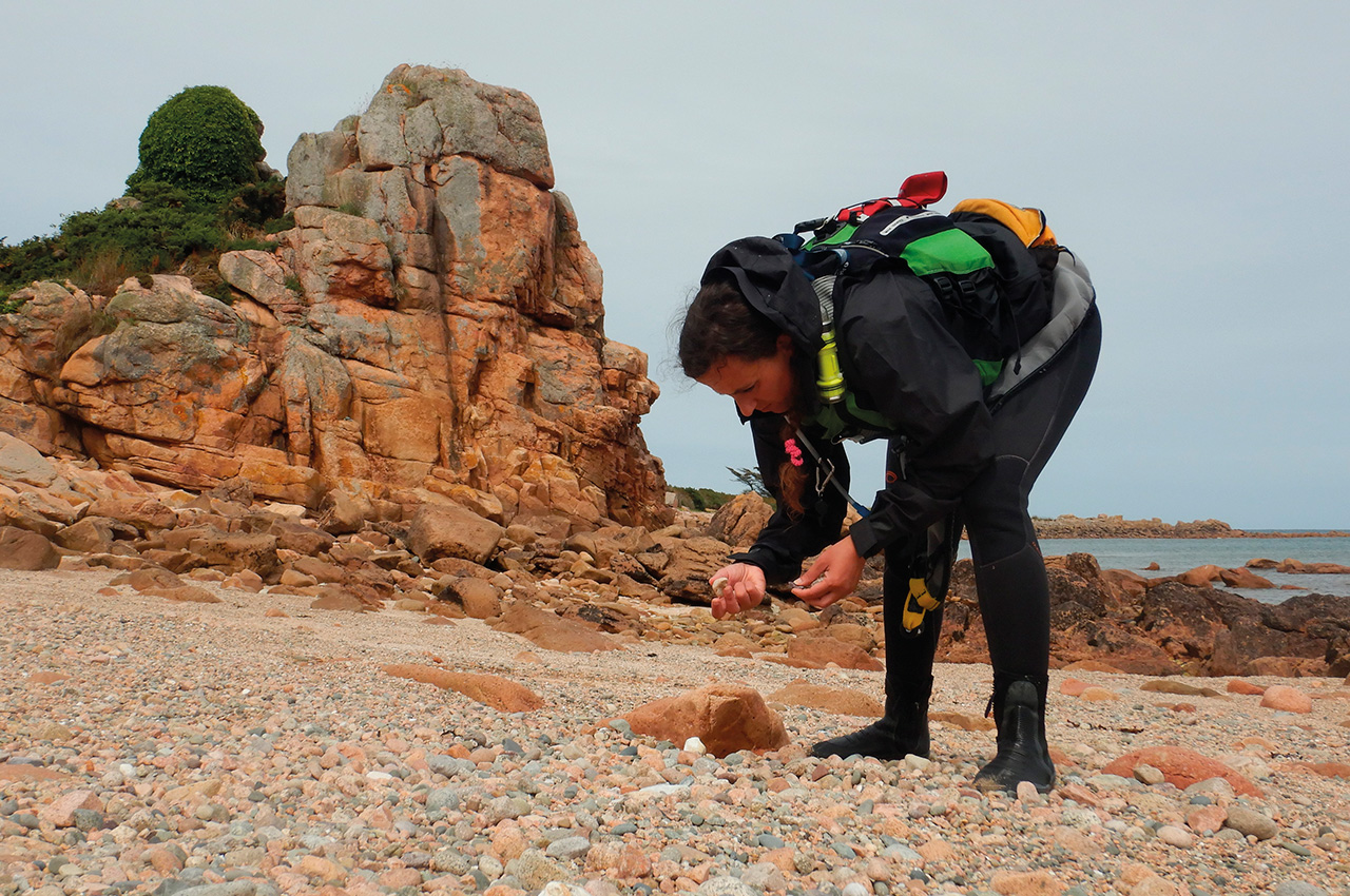
We ended the day by walking to the nearby La Roche au Oiseaux, or Bird Rock. This is a rock formation sticking out of the woodland, overlooking the bay, the river Trieux, and the western side of Bréhat. It is romantic to see the sun go down over there – all peace and quiet. We even passed a local lady playing her harp there.
Day 4
We call this last day ‘Fooling around,’ and does this need more explanation? OK! It was raining the whole day, I couldn’t chance it, not even a bit! We agreed on more specific rescue training in the bay since we hadn’t been in the water enough already. It’s sheltered, which means almost no waves, but there was plenty of wind, rain and tidal movement. And this is all within reach of Loguivy!
It was the only day that we didn’t cover a lot of miles but covered a lot of rescue exercises! We trained on combined rescues; for example, the heel-hook assisted rescue with a third paddler laying on a tow to bring the raft away from rocks. We could easily train this very realistic and without a lot of risk.
In between, we explored the rock formations around Ile a Bois, just for the fun of jumping off and being rescued by the others. One of the secrets of our team is to make rescue training fun, and you will always long for it instead of seeing it as something mandatory. After spending more time in the water instead of our boats, we turned back. Due to the pouring rain, nobody was on the beach; otherwise, they must have heard us yelling and singing! Perfect timing!
Recap
It isn’t ‘just’ Ile de Bréhat. It’s more, much more. The island is worth paddling around, even more than once, as one always discovers new play areas. But the area around Bréhat, at paddling or driving distance, makes the whole trip complete and worthwhile. No matter the weather, there are plenty of opportunities to go out, both sheltered and more exposed. This isn’t an area for the lost tourist, but you don’t need to be an expert.
As always, we advise you to be self-reliant and ensure you know how to interpret a sea chart with tidal information. Depending on your skill level, you can choose your venue in this area, making it so versatile. We will be back, maybe not next year, but later – first, some other adventures.
Have fun and take care of each other on the water!
Make sure to check the video we’ve made about the trip:


