
Words: Véronique Musumeci,
aka SupandSee
Photos: Véronique Musumeci,
aka SupandSee
Discover the 1st SUP guidebook on SUP in Belgium “SUPandSEE Belgique, 26 spots coups de cœur et conse

Another top five paddling spots of Belgium
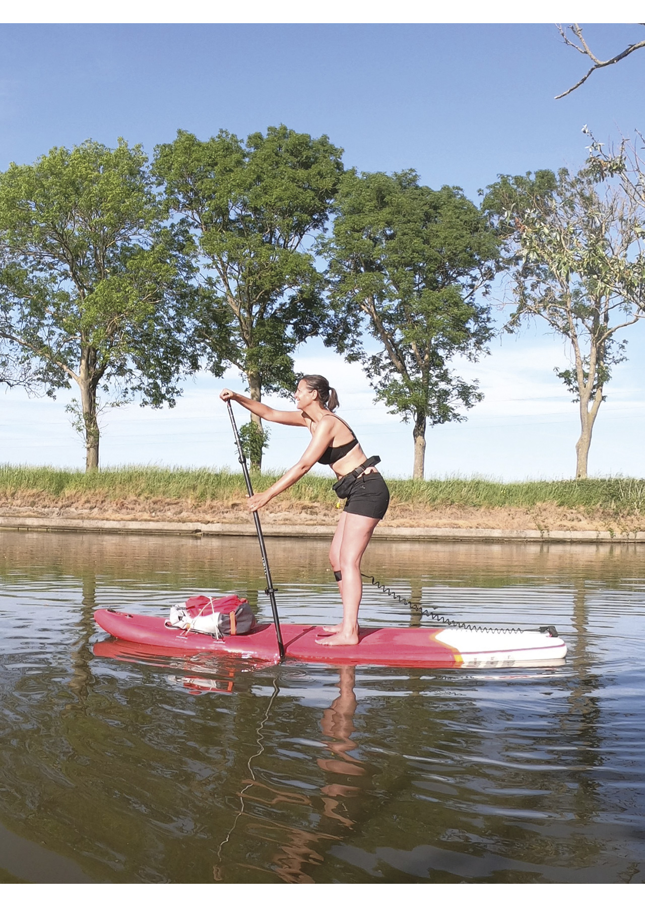
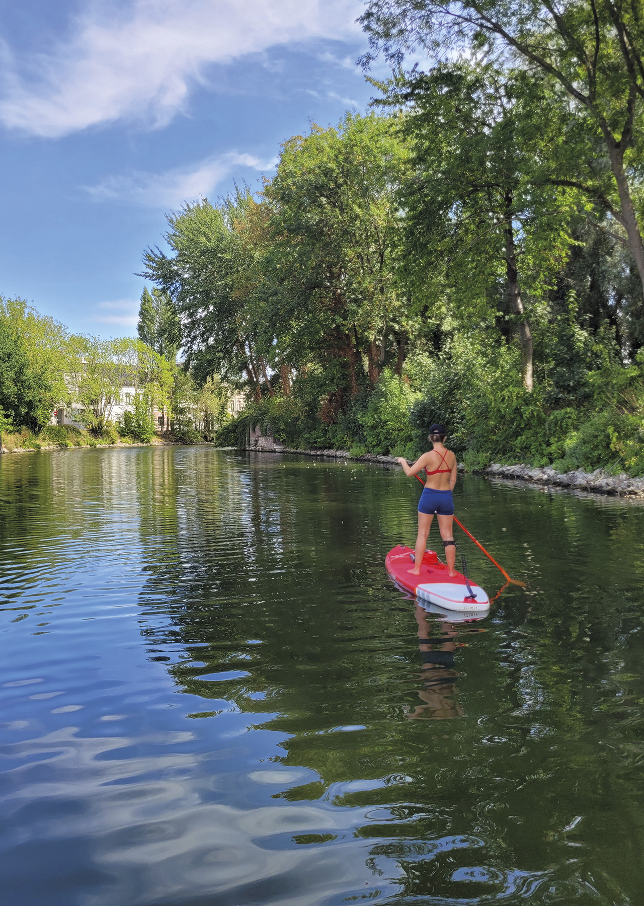
Véronique discovered her 26 favourite Belgian SUP spots and wrote about them in the first SUP guide that was published in Belgium in 2021. A short hop across the English Channel and you’re there!
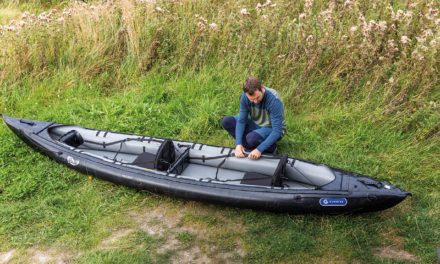
A stand-up paddler since 2017, she has explored many Belgian waters with her various inflatable SUP boards. A great admirer and ambassador of her country and this sport, she likes to share her passion by writing articles for various international surfing magazines, sports blogs and on social networks. After the success of her first guidebook, appearances, and interviews on Belgian radio and television, she is now publishing her second book with 40 extra SUP spots.
Last year she took the Paddler’s readers on a tour of five beautiful SUP tours through the Little Kingdom. This year, she embarks you on a journey to discover five other highlights of Trappist beer country.
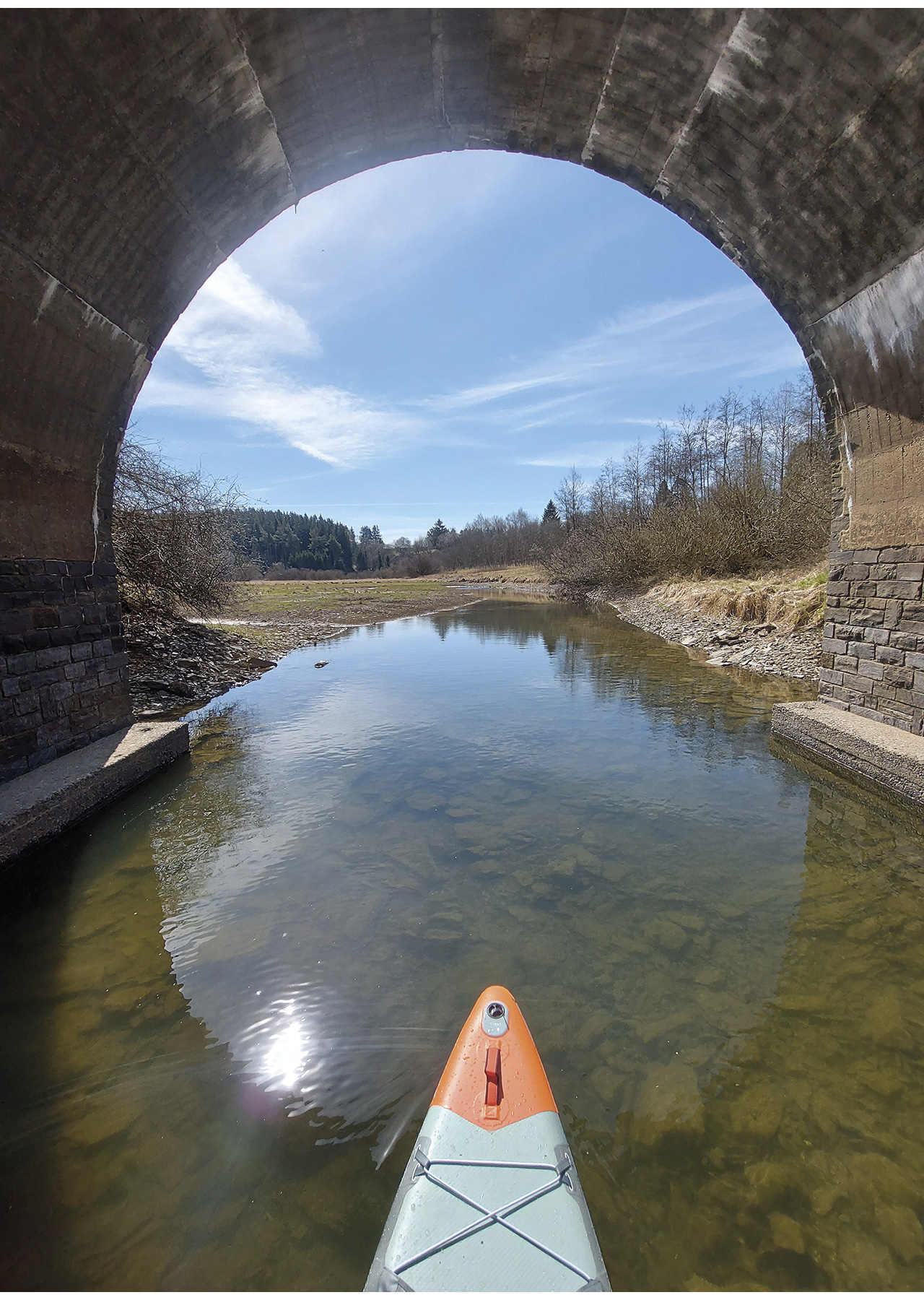
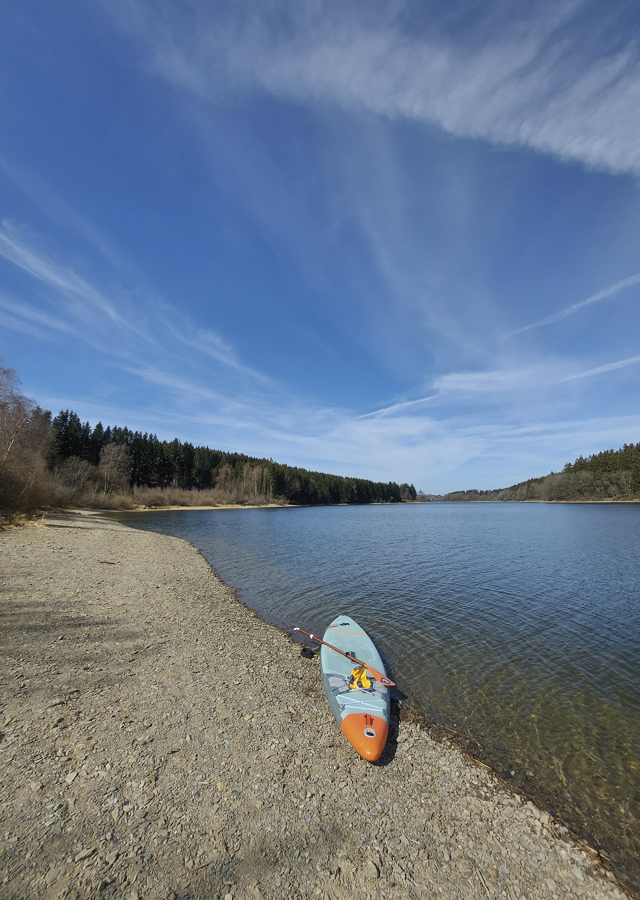
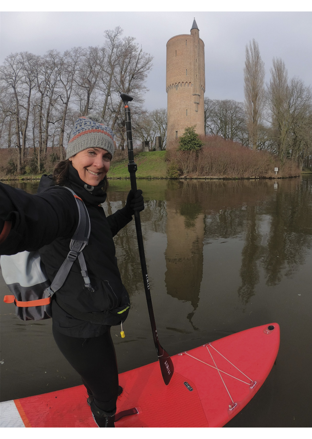
THE LAKE OF BUTGENBACH
Paddling in the Heart of the Eifel
The Butgenbach Lake, located in the High Ardennes on the Elsenborn plateau, is one of the four large dam reservoirs in the east of the province of Liege. The Warche Dam forms it. The lake is fed by the Warche River, which is said to be the most unpredictable in Belgium. This is one of the reasons why the dam was built in 1932 at the confluence of the Warche and the Holzwarche, creating this artificial body of water.
The dam’s construction by the Italian engineer Alphonse Boldo was also intended to ensure water supply to the Malmedy paper and tanneries. It is 23 metres long and 140 metres wide. Today the lake offers a wide range of activities.
A lake session will offer superb views, sometimes wilder and sometimes more developed (hotel, sports centre). Fortunately, the area around the lake has retained a natural aspect. My greatest pleasure is to explore the small beaches accessible by water and to stop for a moment to soak up the atmosphere. With no less than 130 species of birds listed, you will certainly be lucky enough to be surrounded by birds of prey such as the Royal Milan or the osprey. On the shores, enjoy admiring the fish under your board. The lake is home to carp from one to 12 kilos! Get closer to the large dam to appreciate the 11 arches that support it.
The entrance to the lake can be made via different locations. My favourite is Muizenberg Beach because of the beauty of the launching beach. The start from this spot is wilder and far from buildings. The pebble beach and the view of the lake are perfect to start a session with spruce trees. A small parking area along the road is convenient, and it is not uncommon to come across campers setting up for the night.
Finally, if you stay in one of the Worriken accommodations, you can access the water via the long pontoon near the sailing boats. In any case, you must obtain a 2.5 € lake use permit to access the water. This can be purchased at the reception of the Worriken Sports and Leisure Centre. Checks may be carried out when you are on the water, so don’t take any risks!
Kayaks and SUP boards can also be hired at Venntastic Beach, another possible launch point.
Entering the water:
50°25’30.6″N 6°14’35.7″E
Pebble beach. Another possibility is via Berg Beach. The parking is bigger, and so is the beach.
Google map: https://goo.gl/maps/txs7gg489sWZAAL67


THE DOMMEL RIVER
Cross the border into the Netherlands via a nature reserve
The Dommel River has its source in the Kempen, a region that straddles Belgium and the Netherlands. This little wonder has its source in the province of Limburg, more precisely in the municipality of Peer. The first 20 kilometres of the Dommel are in our little Kingdom, while the other 126 are in the Netherlands in North Brabant.
It crosses the border at the town of Brokel en Schaft. In ‘s-Hertogenbosch, the Dommel joins the Aa to form the Dieze, which eventually flows into the Meuse.
The Dommel is initially a lowland stream fed by rainwater and several other small streams in the Dommel Valley (Dommeldal). The Dommel gradually becomes a river somewhere in North Brabant by meeting other streams. Did you know that this river was mentioned in Roman times? It was called Dutmala. In the Middle Ages, farmers cultivated the fields of the Dommel Valley and cut wood there. It is not surprising that there are several water mills and fish ponds along the river.
The River Dommel will surprise you with its beauty! Here you will undoubtedly cross two of the most beautiful nature reserves in North Brabant, namely Hageven and Malpie.
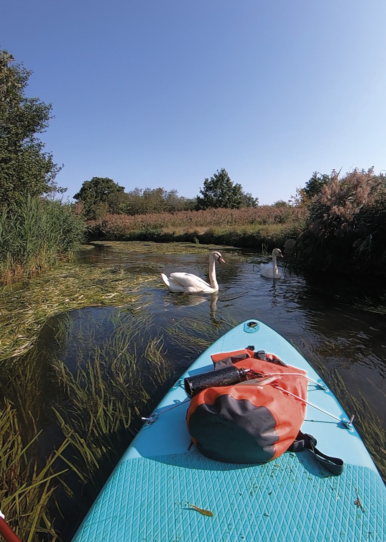
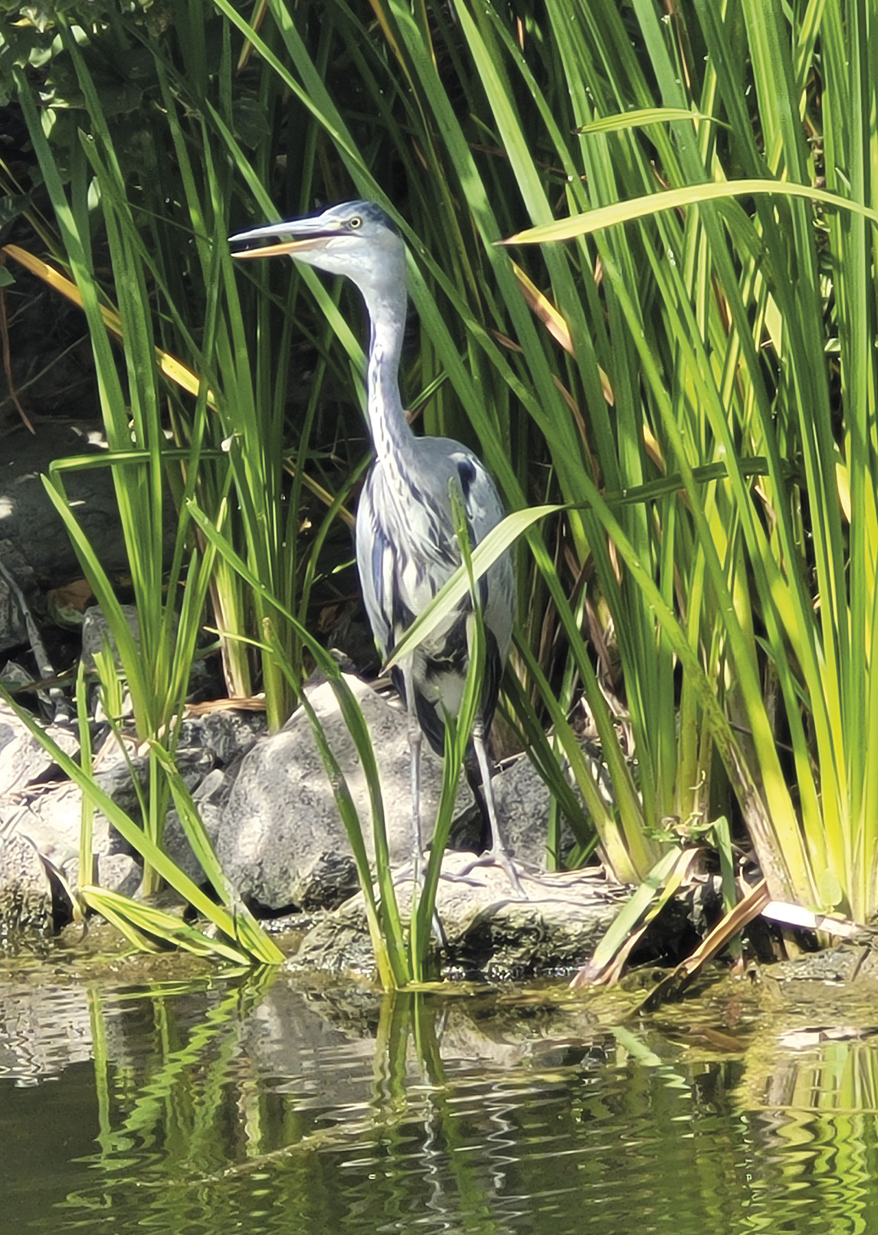
A trip on its winding, sometimes narrow waters will offer you a moment of serenity. What could be more wonderful than to be surrounded by nature and wildlife? Indeed, you will certainly have the chance to meet blue kingfishers, swans, cows, frogs and beaver tracks! Regarding vegetation, you will sometimes see water violets and yellow marigolds, two pretty aquatic flowers seeking clean water.
To have a chance of spotting the beavers, try to spot their tracks first. You are on the right track if you see small dams, wood chips, piles of branches or tree trunks cut at an angle! The longer days in June and July are also more favourable. You will need to be quiet and, above all, respectful to avoid disturbing their balance.
As for the swans, they are much more numerous, and you will certainly be lucky enough to come across a few. The animal will quickly inform you if it does not appreciate your presence. If it feels threatened and thinks you are invading its territory, it will become aggressive, flapping its wings and beak at you. Move on quickly and gently. Depending on the season, you may be lucky to spot eggs under your board. Please don’t touch them and just enjoy this surprise of nature.
This winding 15 km ride can be done in five hours with short breaks. Enjoy a well-deserved rest in ‘de Venberge Molen’, a restaurant located in one of the famous mills along the Dommel.
All along the route, you will find mooring and rest areas. Please respect these defined stops so as not to damage nature. Don’t forget to take your waste.
For this one-way session, you will need two vehicles. Please park a car at the finish point in Valkenswaard (Molenstraat).
Entering the water:
Vertrekplaats Kajak Dommel (Google Maps) Wooden pontoon. You embark at the Tussenstraat in Pelt and disembark in Valkenswaard.
Google map: https://goo.gl/maps/J5CTAkeLCW6bcWHa6
-1")
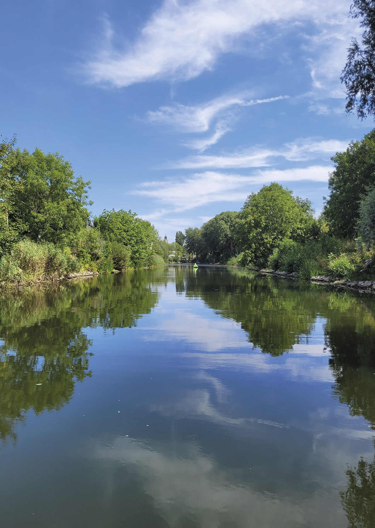
THE YPERLEE CANAL
Zen moment guaranteed!
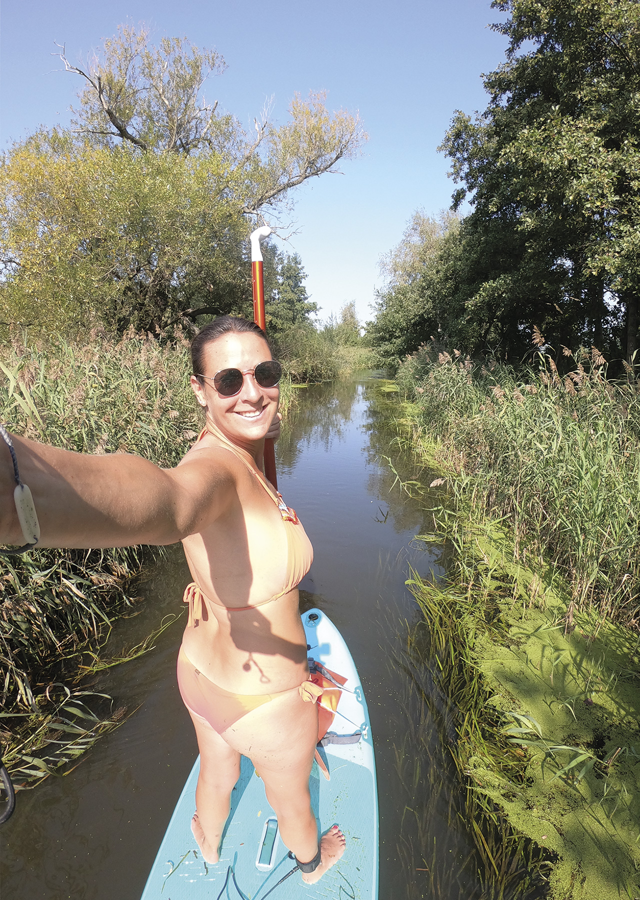
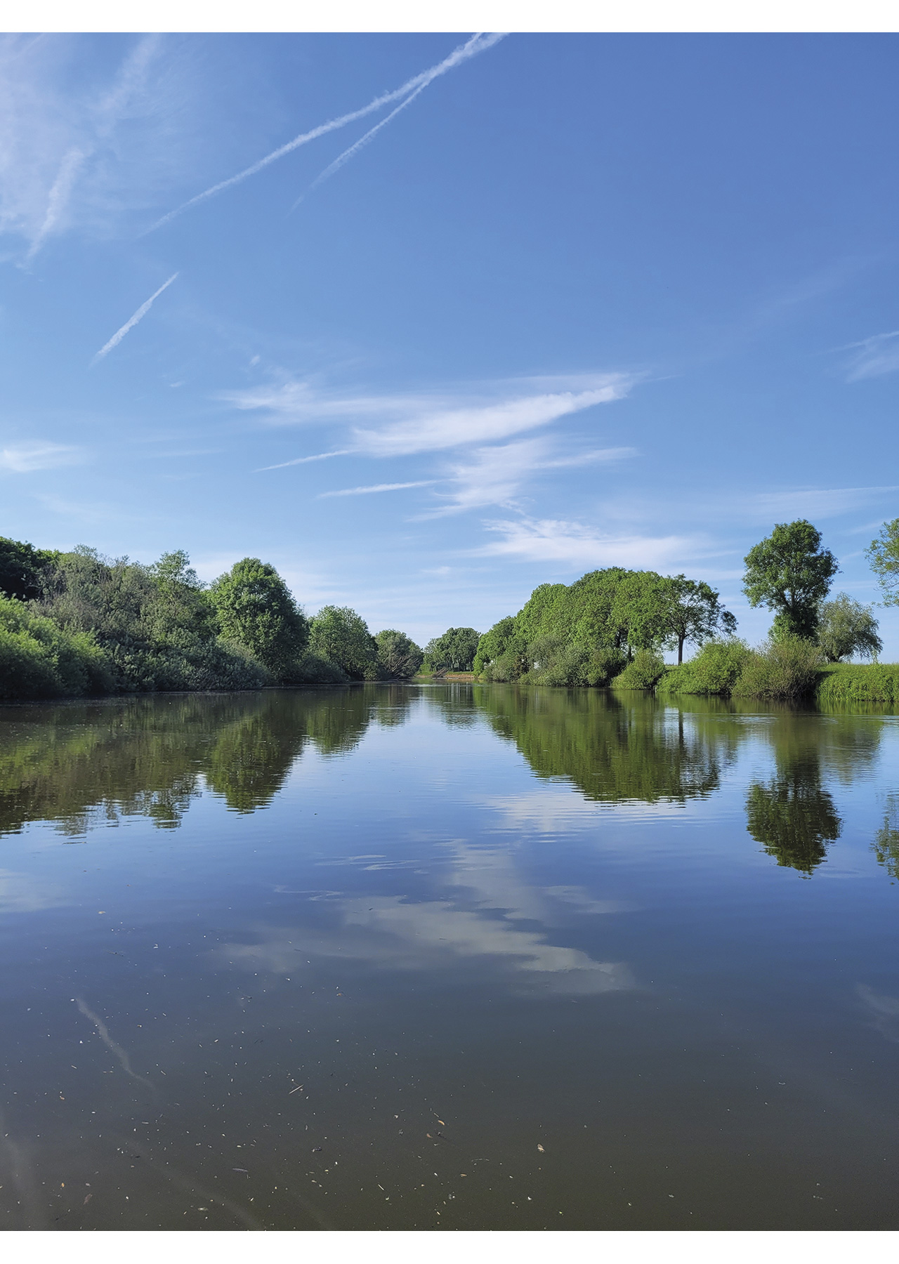
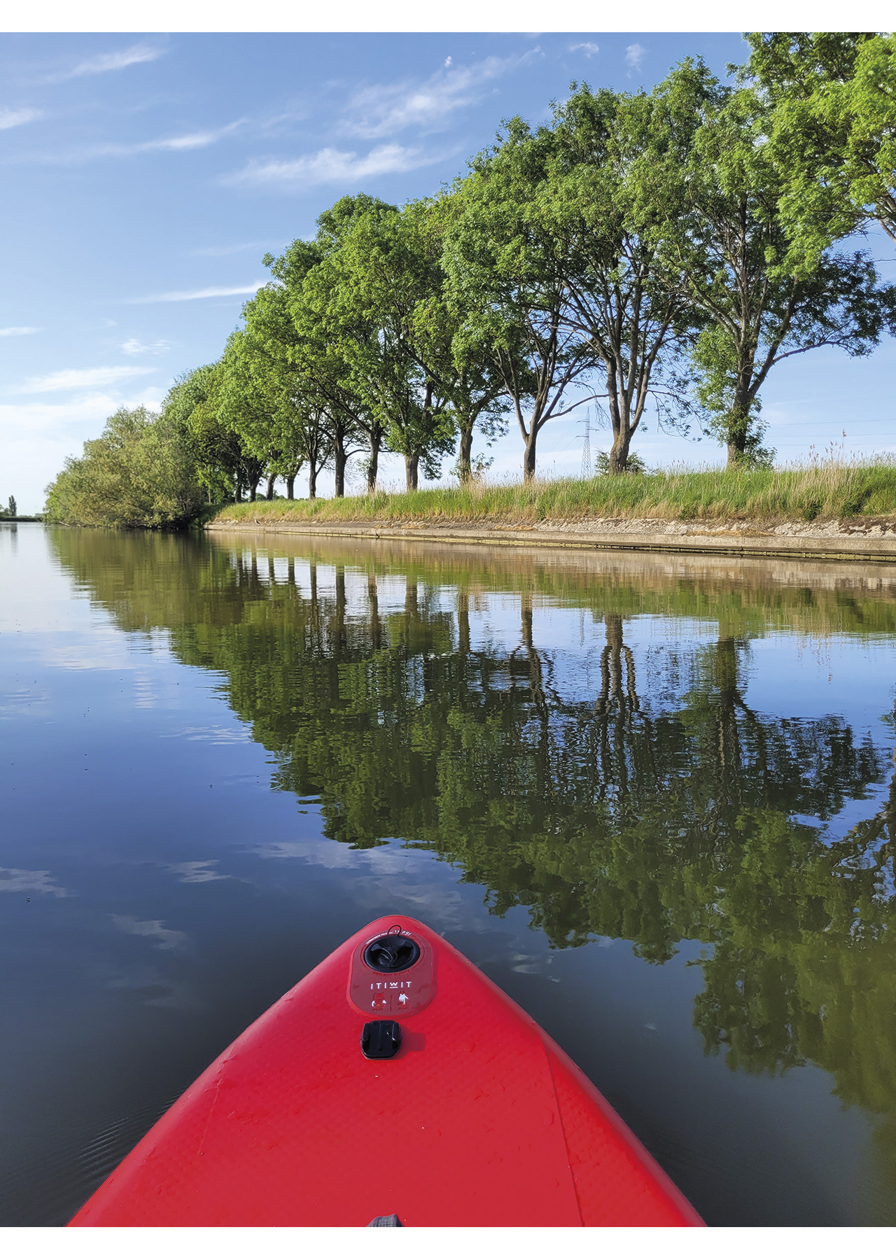
Located in West Flanders, the Yperlee Canal is 15 km long and connects the city of Ypres to the river Yser. A trip on this small canal on a sunny summer’s day will give you a dose of well-being!
The session starts from the large wooden pontoon near the Eetkaffee Steenstraete. You can leave towards Ypres but will be blocked after 3.5 km by the Boezinge lock. Here I advise you to go towards Veurne and the Yser. Let yourself be lulled by the green banks, the water birds and the silence around you. It’s quiet, and it feels good!
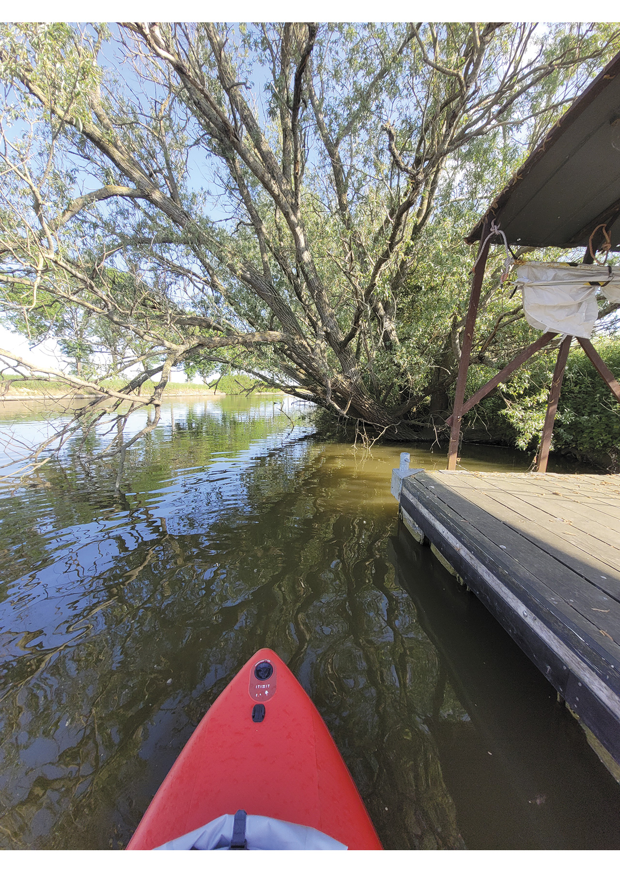
After a few kilometres, you will see a charming wooden floating pontoon on your left. The pontoon is private, so be careful not to overstep your rights. It is tempting to stop there. After a little less than 5 km, you will pass under the Driegrachtenbrug and arrive in front of De Boot vzw, a barge specialised in ecotourism and the organisation of socio-cultural activities. At the height of this boat, you will see a small river running off to the left. If, like me, you like to venture out on narrower streams, don’t hesitate to take the plunge. This short diversion of 1.6 km round trip is bucolic. You will pass under two bridges and be surrounded by fields. After 800 metres, you will have to turn back.
Back at De Boot vzw, you can decide to continue rowing towards the Yser or turn back.
Entering the water:
E50°55’13.5 “N 2°50’37.3
E Wooden pontoon. Large free parking area.
Google map: https://goo.gl/maps/AaopHe2E8Cmg4KVm8

THE GHENT-BRUGES CANAL
A glimpse of our Venice of the North
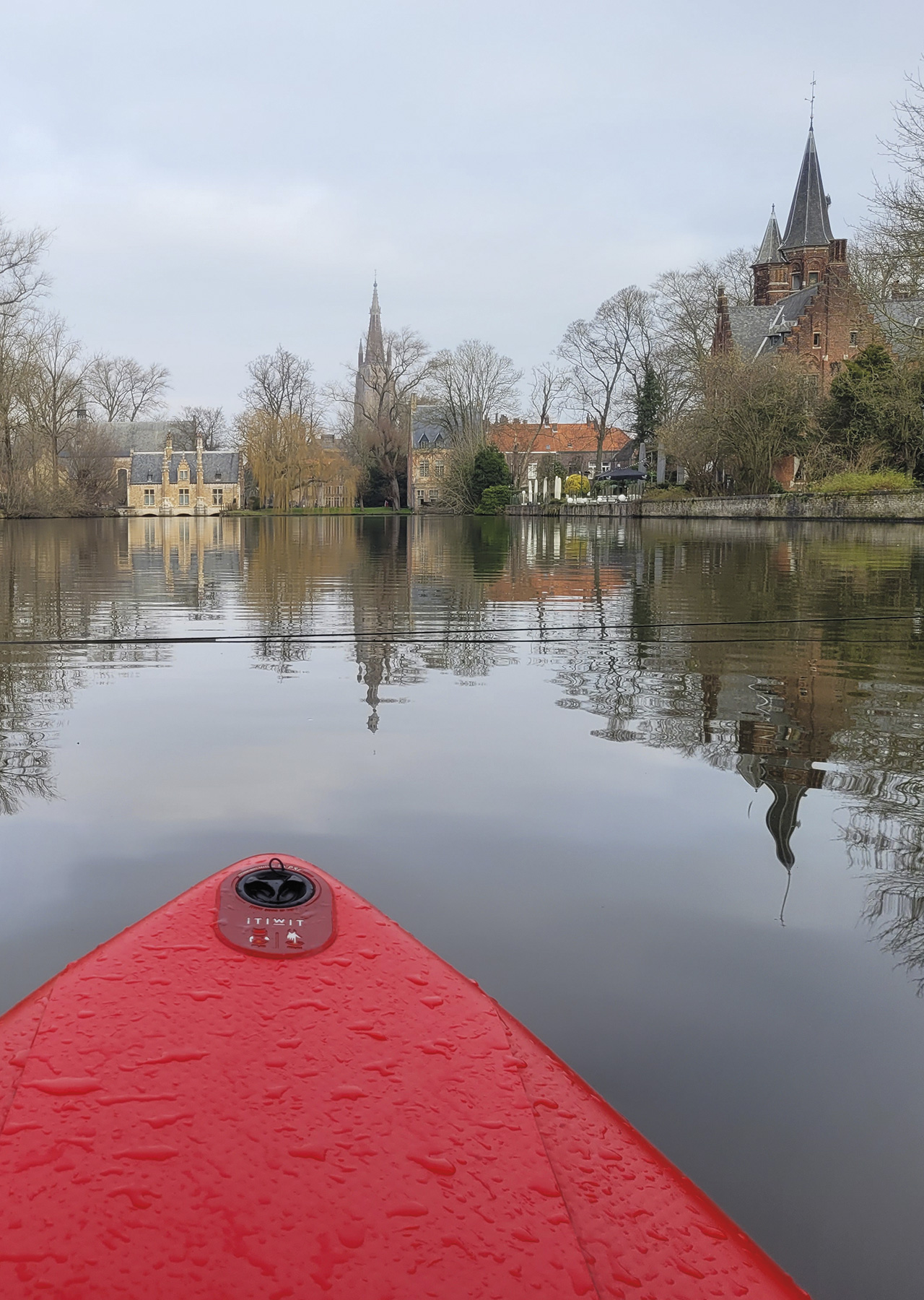
Who hasn’t dreamed of paddling through the magnificent medieval city of Bruges? Bruges is a UNESCO World Heritage Site and has charmed many people. It owes its fame to the many canals that run through it and to its architectural heritage.
Unfortunately, paddling on the inner canals (Brugse Reitjes) is forbidden, but I have put together a route that will give you a taste of the most touristic city in Belgium. Here we explore Bruges via one of the oldest canals in Western Europe, the Ghent-Bruges Canal. This canal connects with three other canals at the Dampoort: the Damme Canal, the Bruges-Ostend Canal and the Baudouin Canal.
This alternative discovery of Bruges takes you past some of the beautiful buildings of the capital of West Flanders. You embark via a low bank giving access to the Ghent-Bruges canal near two charming barge hotels. You leave in the direction of Beernem and turn directly right towards the Yacht Club Flandria Brugge to head for the charming Minnewater, the Lake of Love.
You pass a small marina with many boats and pass under the R30, the highway, before arriving at the Poertoren. This 14th-century tower was once a water gate and later the city’s ammunition and gunpowder depot. The tower is built right next to the Minnewater Bridge. Stop at the stone bridge with a beautiful view of Bruges’s most photographed and romantic park.
Stop for a moment to soak up the charm of the Venice of the North. Here you will have a view of the Sashuis, the Castle of the Rift and other Flemish-style buildings reflected in the lake. The people of Bruges used to believe that water nymphs and spirits (Minne in Dutch) lived in this lake, hence the name Minnewater.
Paddle back to the marina, and on your left, you will see the red Bargebrug. Back at the launch point, head hard left, towards the north!
You are now paddling on the canal outside the city. First, you pass some barge hotels, and then you pass under a bridge of the R30. On your left, you see the Watertoren, a brick water tower that blends in perfectly with the medieval landscape of Bruges, although it only dates from 1925.
The following historical site presents itself to you: the Gentpoort and the Ghent Gate. It is one of the four medieval gates that Bruges has preserved, and today it houses a museum.
With a few paddle strokes from the Ghent Gate, you will see the Conzettbrug on your left, a modern pedestrian and cycle bridge over the Coupure. Venture to this 1.6-kilometre-long canal in the centre of the city of Bruges for a few paddles. Some people say that the Coupure is reminiscent of the south of France!
You will be stopped by a lock, turn back to the footbridge and continue on the Ghent-Bruges canal. You pass under a bridge again before arriving at the best preserved of the four city gates, the Kruispoort. Continue to the Dampoort lock and turn around. You will pass the windmills Sint-Janshuismolen and ‘The New Parrot’ on the way. This is where our alternative tour of Bruges ends.
Entering the water:
51°11’38.9 “N 3°13’40.4 “E
Low concrete bank. Large car park nearby.
Google map: https://goo.gl/maps/ssU9VjpXqa9uohg89

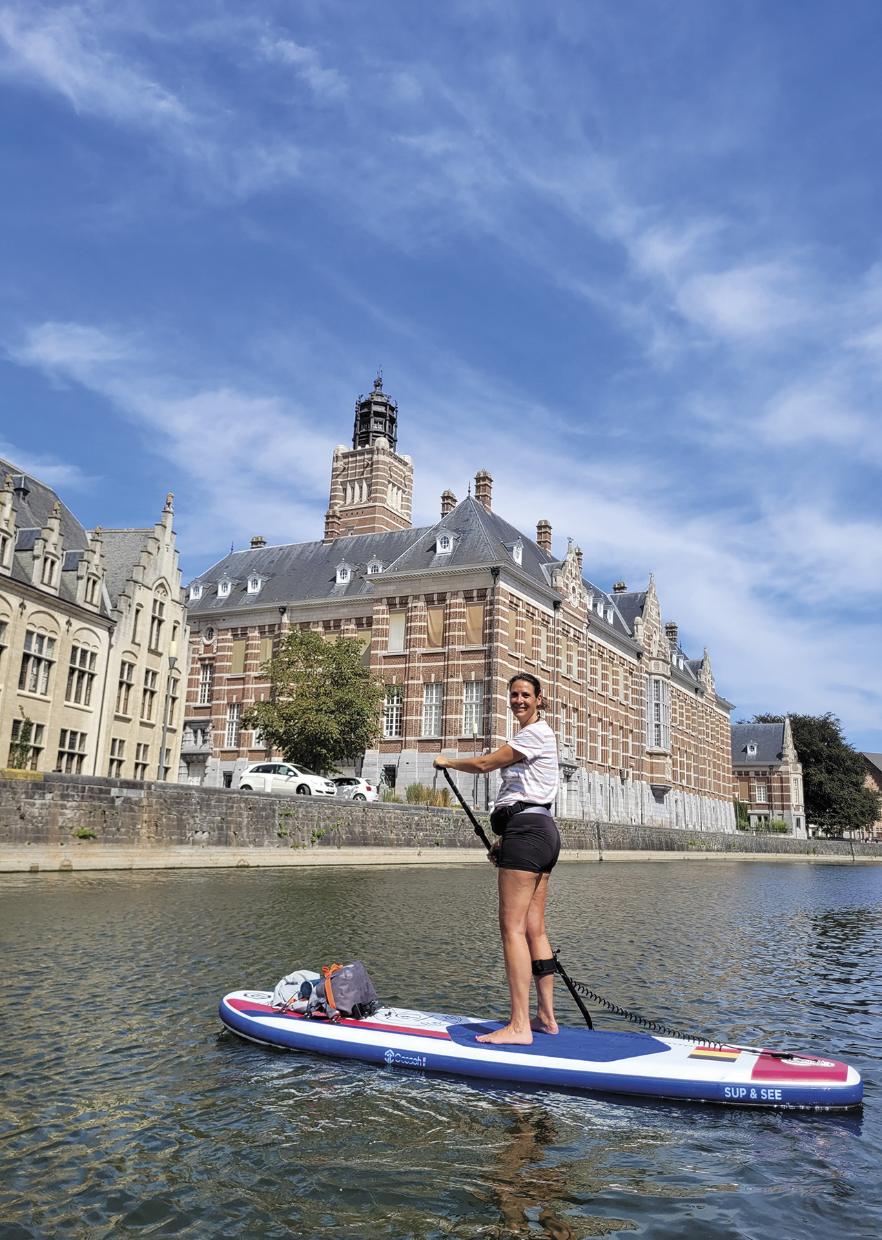
THE OUDE DENDER
To the sound of the bells of the Dendermonde Belfry
Originally, the Dender River flowed into the Scheldt through the centre of Dendermonde, giving it the name ‘mouth of the Dender’, Dendermonde in Dutch. The presence of these two rivers made Dendermonde an actual water city with its ports for centuries. Prosperity and military conflicts were the order of the day.
Because of its proximity to the two rivers, the city was prone to flooding for a long time. In 1967, it was decided to divert the course of the Dender so that it no longer flows through the city centre before flowing into the Scheldt. A new estuary with a lock (Nieuwe Tijsluis) was created in 1978, and the name Oude Dender was coined for the old course. The old estuary was concreted over.
This SUP spot combines a cultural and historical part on the right side, while the left is greener. Let’s start with the city centre, its monuments and bridges. It is ‘funny’ to think that captains, fishermen and ship unloaders used to work here in the past! In the distance, you will see the two red brick bell towers of the Abbey of Saint Peter and Paul.
The passage in front of the Town Hall, its Belfry and the Court of First Instance will delight architecture lovers. You will be escorted in your sporting effort by the singing of the Belfry’s carillon. What a chance to be lulled by this beautiful melody. The 49 bells weigh 6800 kg and have been ringing every 15 minutes for 600 years!
You will have to turn around at the old converted estuary. Return through the town centre to the old lock (Oude Sas) with its beautiful double wooden gate. The arrival under the iron pedestrian and cycle bridge built over the remains of the lock heralds a more flora and fauna-rich part of the river.
Entering the water:
51°01’44.3″N 4°05’43.2″E
Wooden pontoon. There are three large wooden pontoons where you can launch into the water and discover this half-natural, half-cultural waterway.
Google map: https://goo.gl/maps/n53r7EbsNmyVMuzd8


